


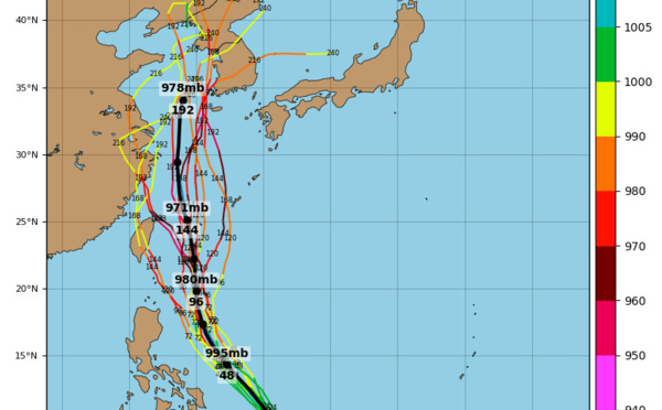
 : category 4, landfall over North Korea in 48h as a cat 2. Faxai(14W): update")


: rapid intensification possible, 14W update, Kajiki: final warning")
 and Kajiki(16W) updates")

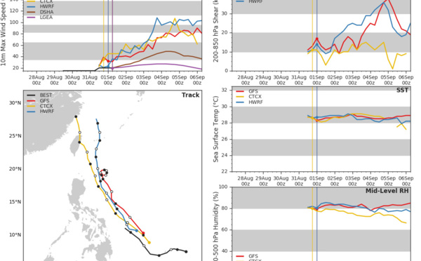
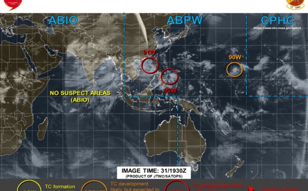
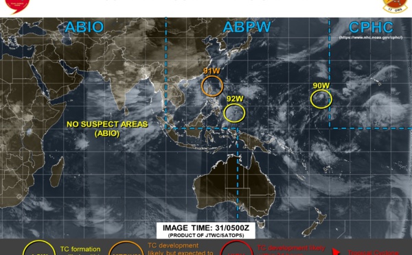
 gradually intensifying. Invest 91W update")
 and Invest 91W updates")


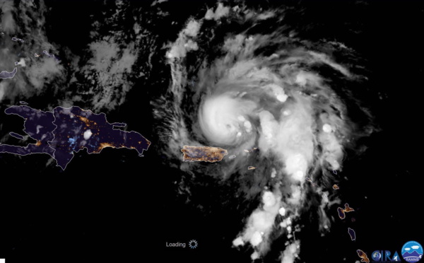
category 2, could hit Florida as a powerful cyclone in 4 days")
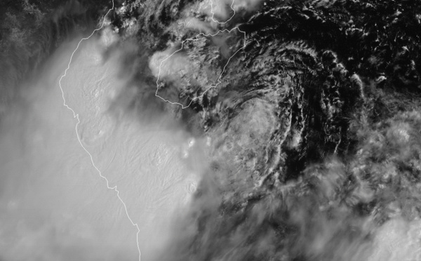
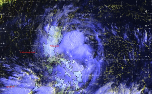
 : landfall over eastern Vietnam in 12h, rapidly dissipating afterwards")
 forecast to become a serious threat to Florida after 72h")
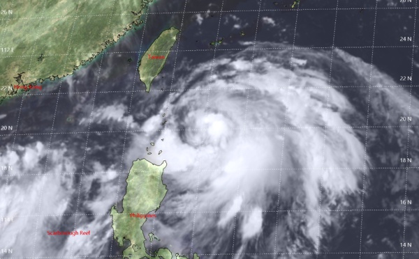
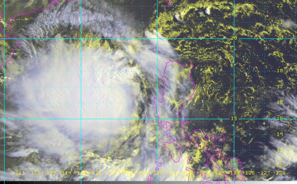
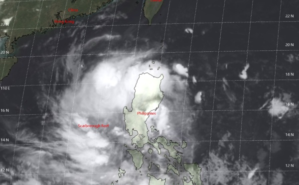
 tracking to the south of Hainan but has failed to intensify")
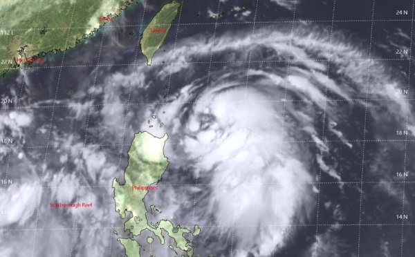
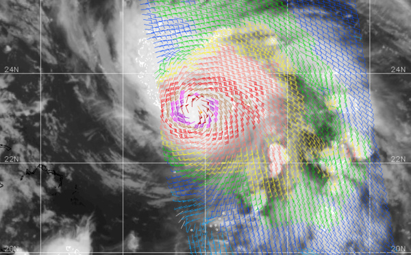
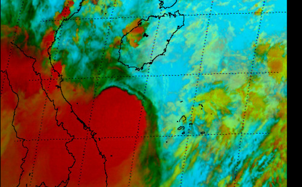
 relocated, intensifying a bit over the South China Sea")
 now over the South China Sea and intensifying a bit")
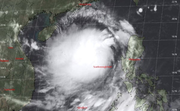
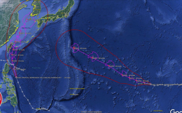
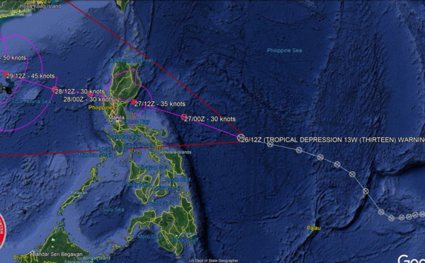
 over South China Sea within 12h, landfall southern Hainan in72h with 50knots winds")
 forecast over the South China Sea in 18h when intensification is likely")


Les News
ECMWF 10 Day Storm Tracks// 3Week TC Formation Probability// 2403utc
04/24/2024
- PATRICK HOAREAU
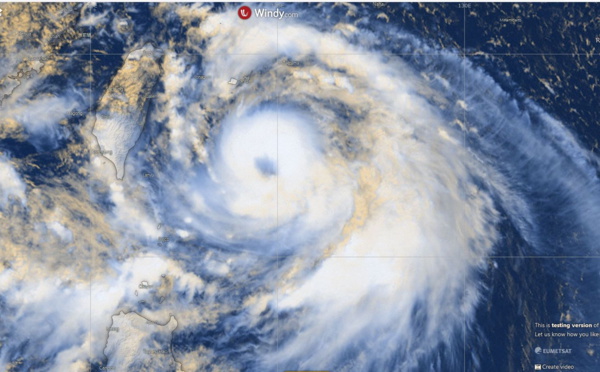
TC 22P(PAUL)// Remnants of TC 21S(OLGA)// ECMWF 10 Day Storm Tracks// 1103utc
04/11/2024
- PATRICK HOAREAU
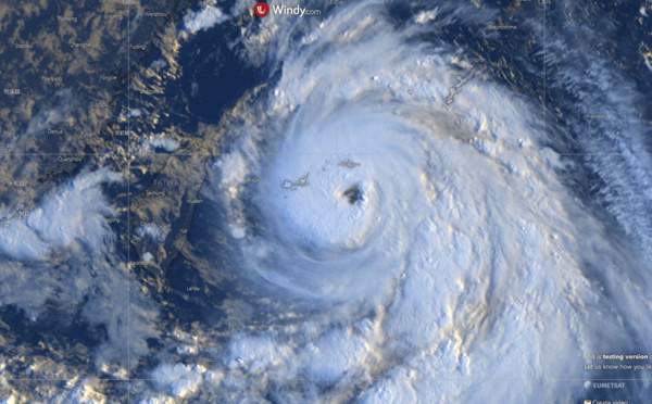
TC 21S(OLGA) SAR reveals still a bit stronger than expected// INVEST 97P// ECMWF 10 Day Storm Traccks// 0903utc
04/09/2024
- PATRICK HOAREAU
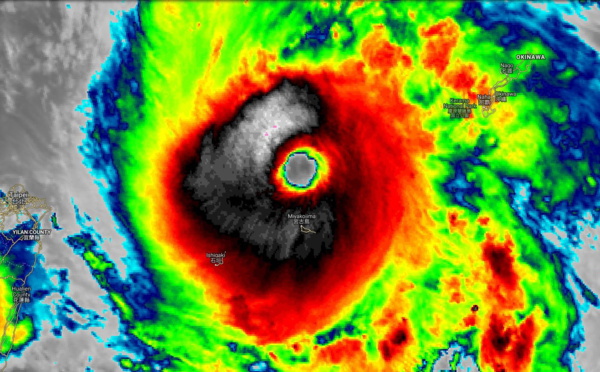
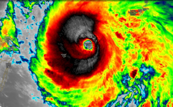
TC 21S(OLGA) peaked as a powerful CAT 4 US// ECMWF 10 Day Storm Tracks// 0803utc
04/08/2024
- PATRICK HOAREAU
TC 21S(OLGA) reaches CAT 3 US still intensifying// ECMWF 10 Day Storm Tracks// 0709utc
04/07/2024
- PATRICK HOAREAU
TC 21S(OLGA) intensifying and peaking within 24H may reach CAT 2 US// ECMWF 10 Day Storm Tracks, 0615utc
04/06/2024
- PATRICK HOAREAU

Liens utiles
TC 22P(PAUL)// Remnants of TC 21S(OLGA)// ECMWF 10 Day Storm Tracks// 1103utc
TC 21S(OLGA) SAR reveals still a bit stronger than expected// INVEST 97P// ECMWF 10 Day Storm Traccks// 0903utc
TC 21S(OLGA) peaked as a powerful CAT 4 US// ECMWF 10 Day Storm Tracks// 0803utc
TC 21S(OLGA) reaches CAT 3 US still intensifying// ECMWF 10 Day Storm Tracks// 0709utc
TC 21S(OLGA) intensifying and peaking within 24H may reach CAT 2 US// ECMWF 10 Day Storm Tracks, 0615utc
S'identifier