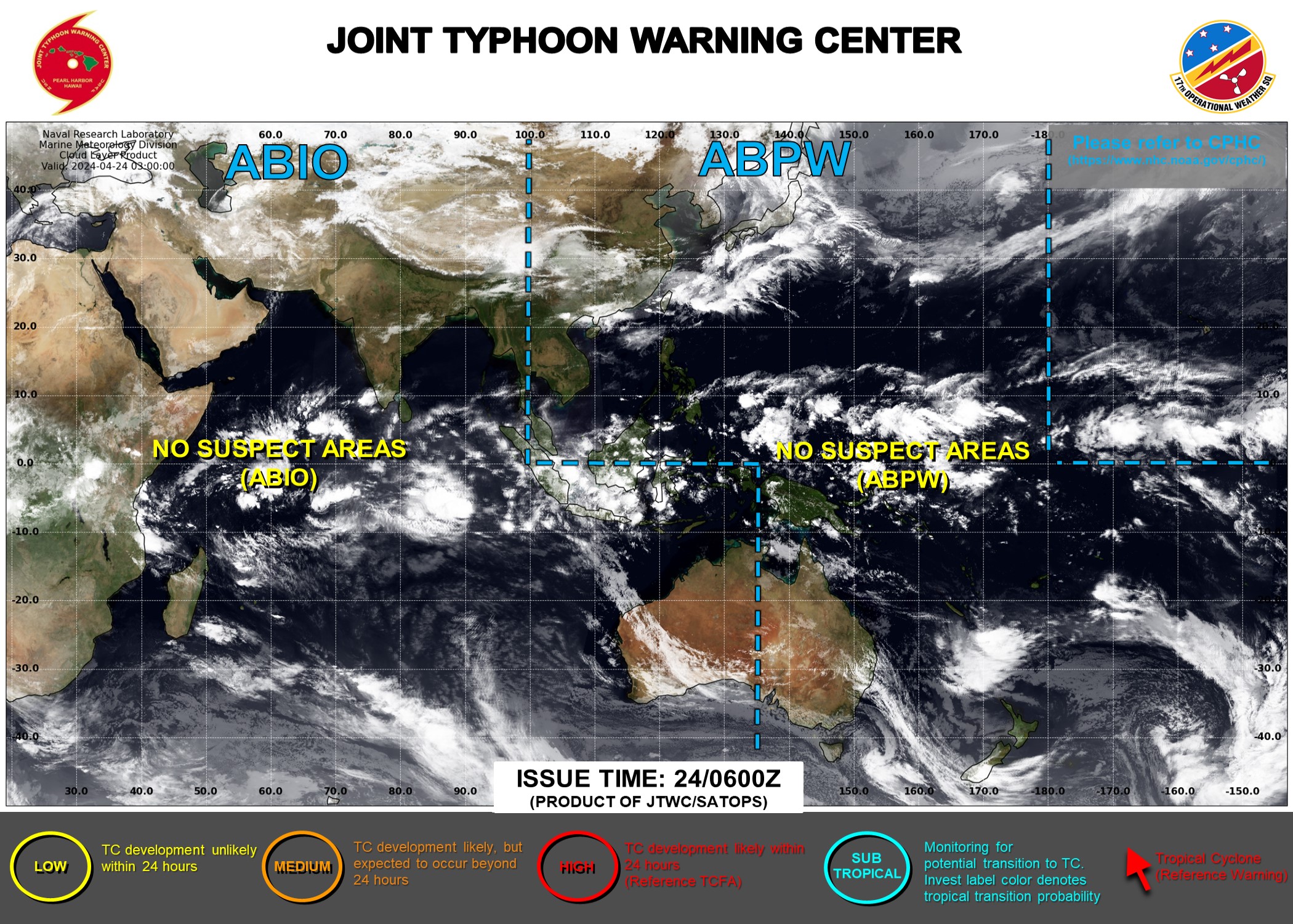
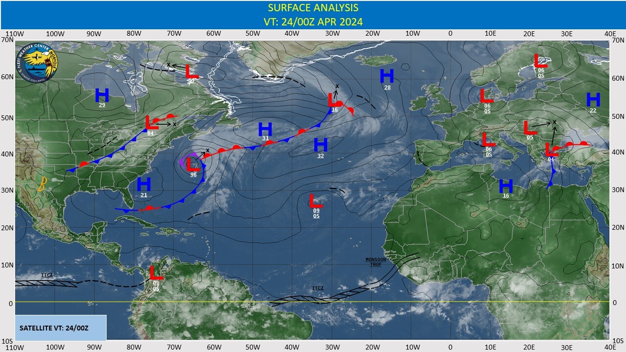
CLICK ON THE IMAGERIES BELOW TO GET THEM ENLARGED
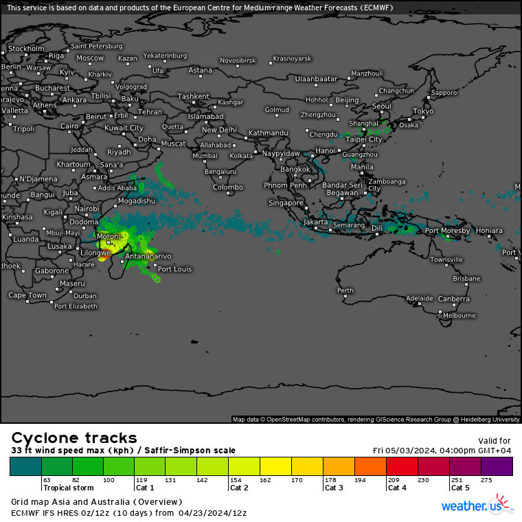
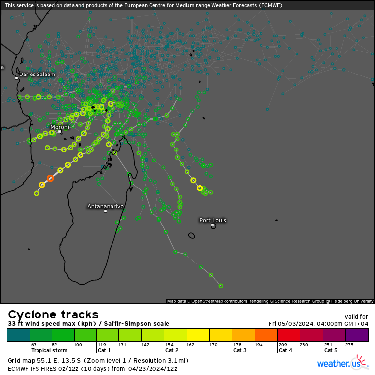
ECMWF Storm Tracks (Ensemble) : 04/23 12UTC+ 10 DAY
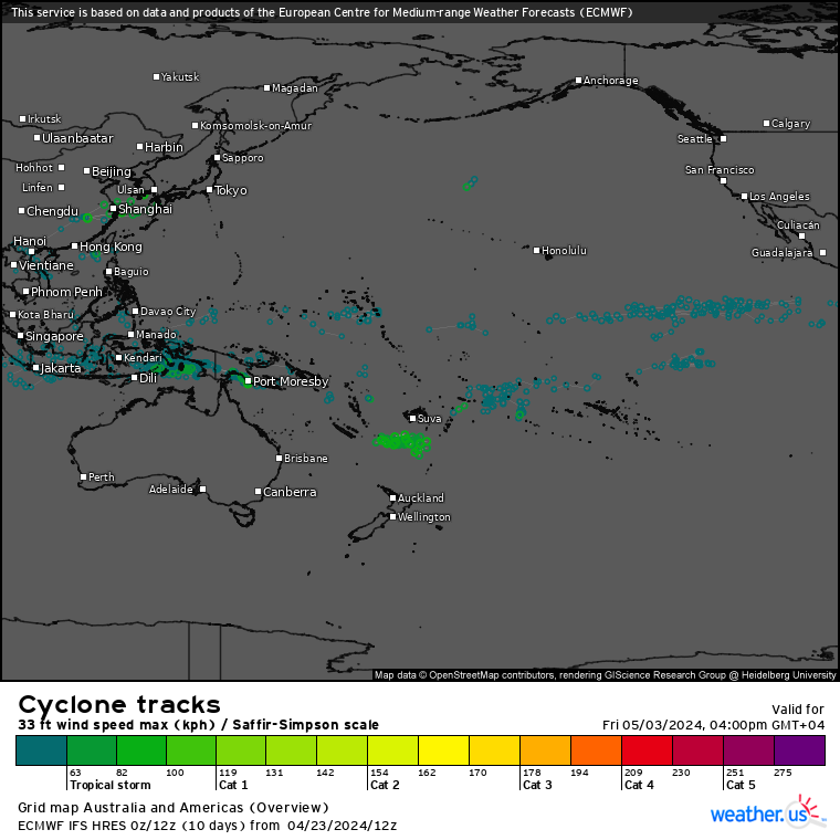
ECMWF Storm Tracks (Ensemble) : 04/23 12UTC+ 10 DAY
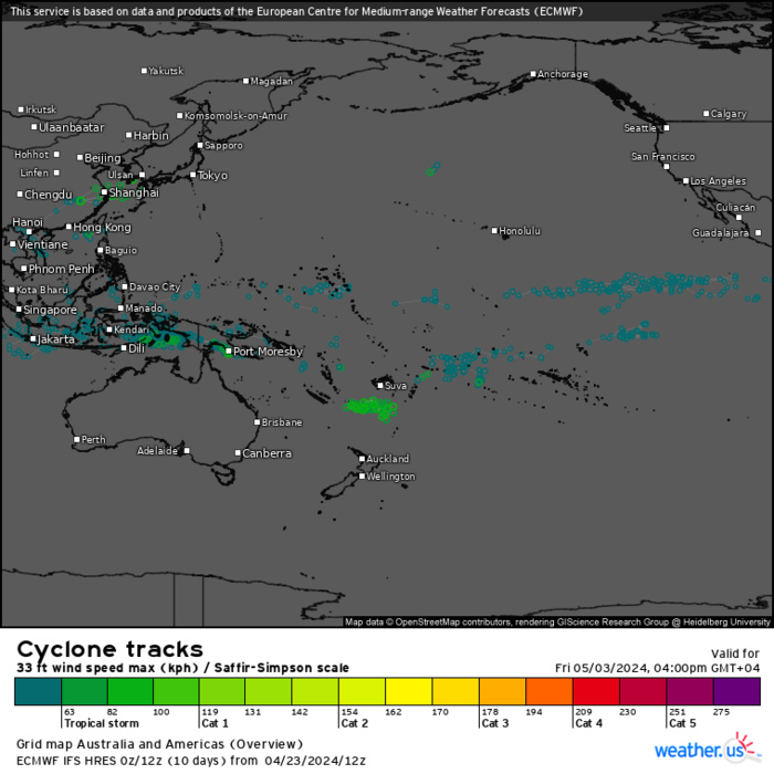
ECMWF Storm Tracks (Ensemble) : 04/23 12UTC+ 10 DAY
Last Updated - 04/23/24 3 WEEK TROPICAL CYCLONE FORMATION PROBABILITY
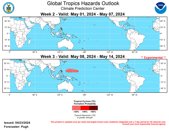
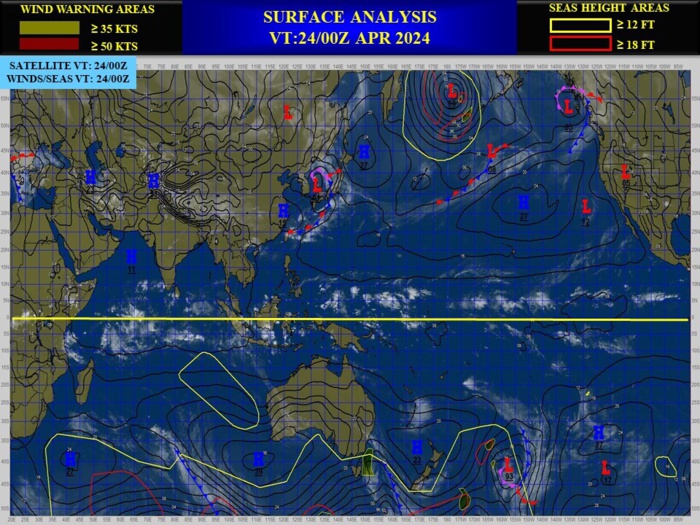
GTH Outlook Discussion Last Updated - 04/23/24 Valid - 05/01/24 - 05/14/24 Following a robust Madden-Julian Oscillation (MJO) during March, it weakened during early to mid-April according to the RMM-based MJO index. However, the observed 200-hPa velocity potential anomaly field depicts a continued MJO signal with its enhanced phase rapidly shifting eastward over the Western Hemisphere during the past two weeks. As this remnant MJO constructively interferes with a low-frequency signal over eastern Africa and the western Indian Ocean, the GEFS and ECMWF ensemble mean feature an increase in anomalous upper-level divergence for these areas during late April. This is expected to result in a stronger and more coherent MJO heading into May. Although there is large model spread on the strength of the MJO during the outlook period (May 1-14), the MJO is expected to influence global tropical rainfall. MJO precipitation composites for phases 5, 6, and 7 were considered in the outlook. No tropical cyclones (TCs) formed during mid-April and this is typically a quiet time of year. Although recent deterministic GFS and ECMWF model runs have depicted TC genesis over the southern Indian Ocean near the beginning of May, low forecast confidence on a specific location and climatology preclude the designation of a 20 to 40 percent chance formation area. By week-3 (May 8-14), the large-scale environment is expected to become more favorable for TC development across the West Pacific. MJO composites and at least a weak model signal supports a 20 to 40 percent chance to the east of the Philippines. Beyond the outlook period and later in May, the MJO could favor an early season TC in the East Pacific. This will be closely monitored in subsequent outlooks.


