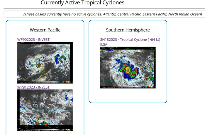
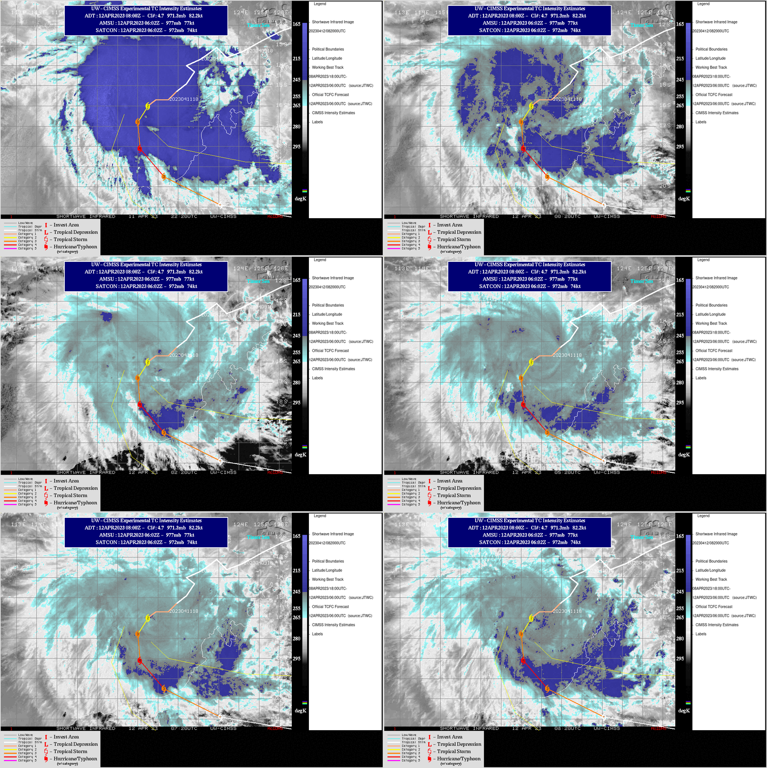
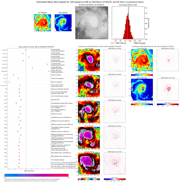
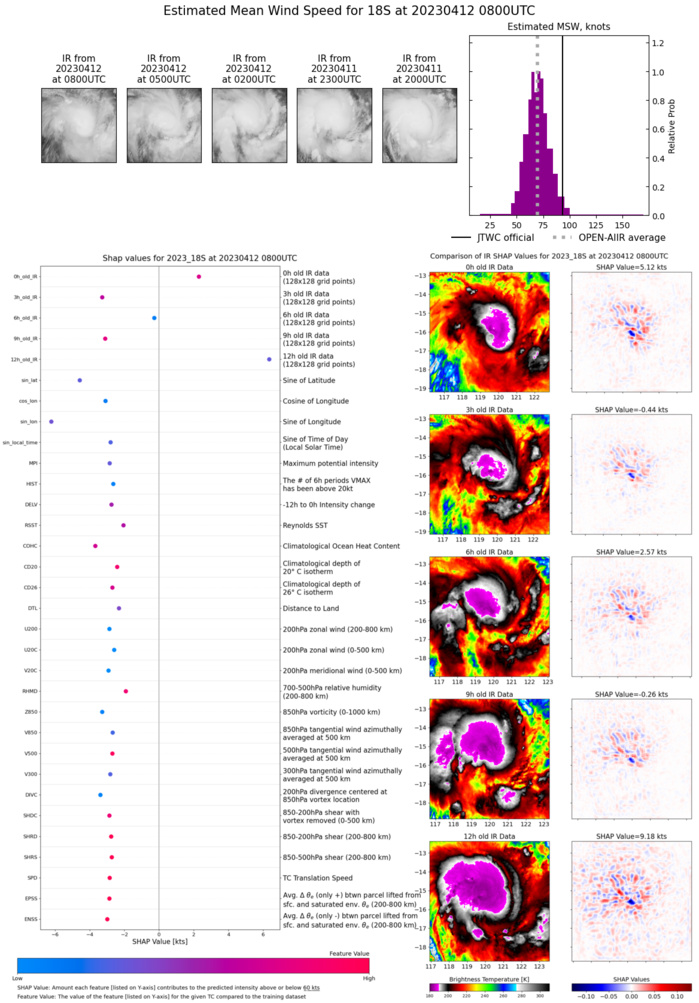
CLICK ON THE IMAGERIES BELOW TO GET THEM ENLARGED
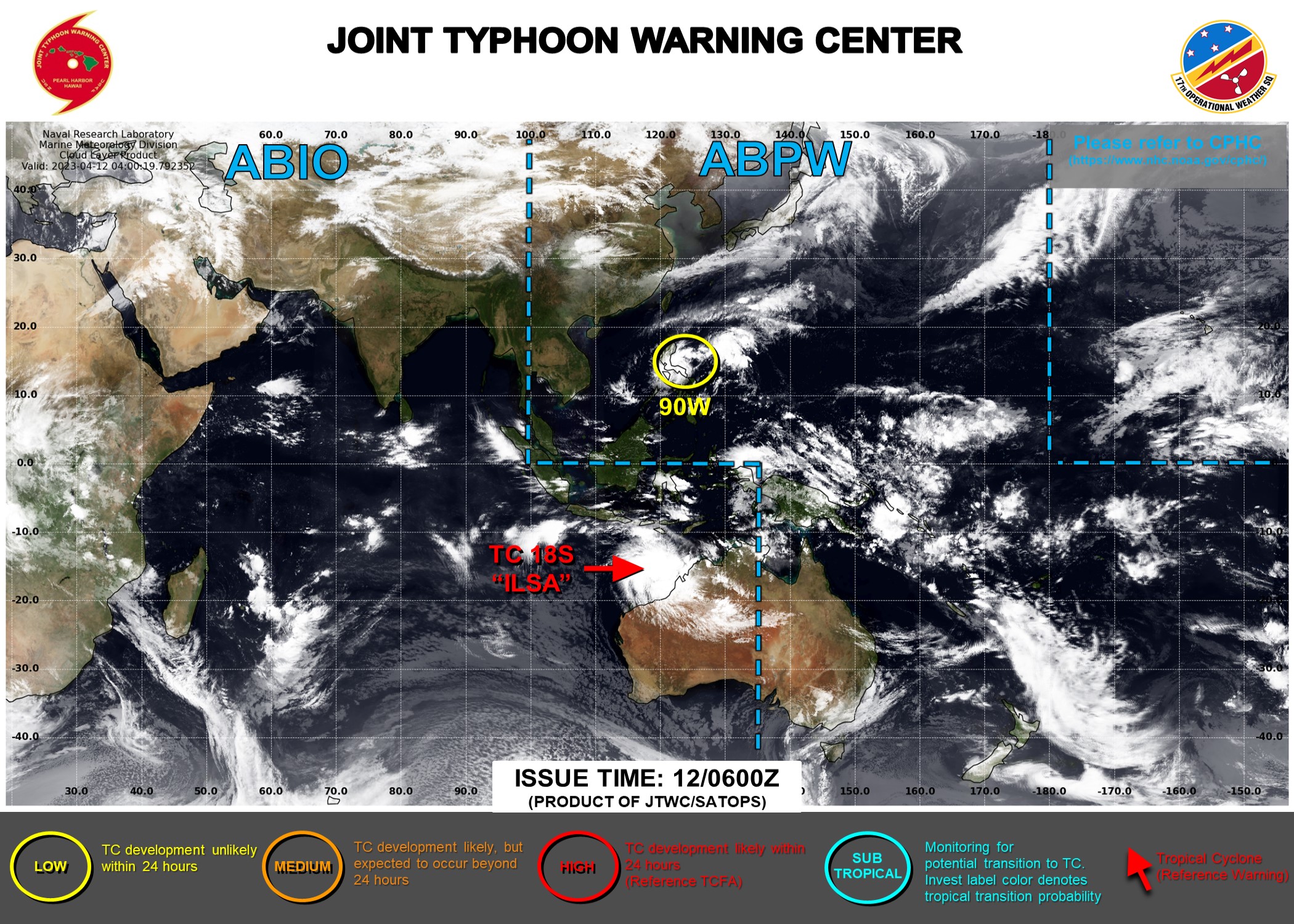
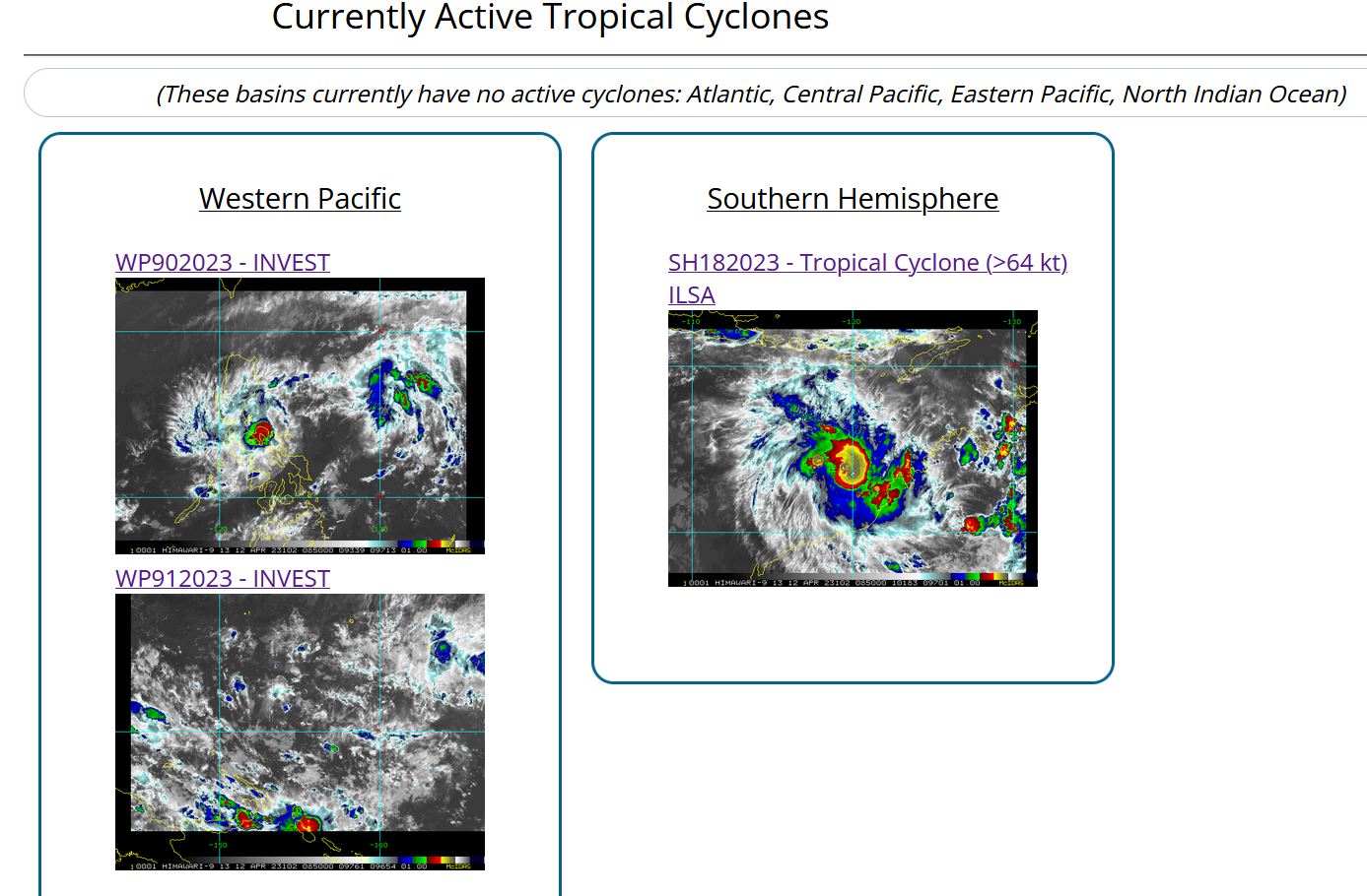
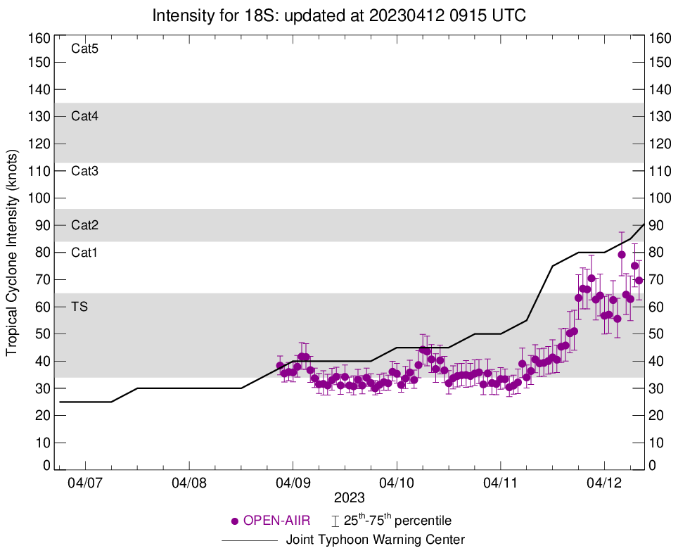
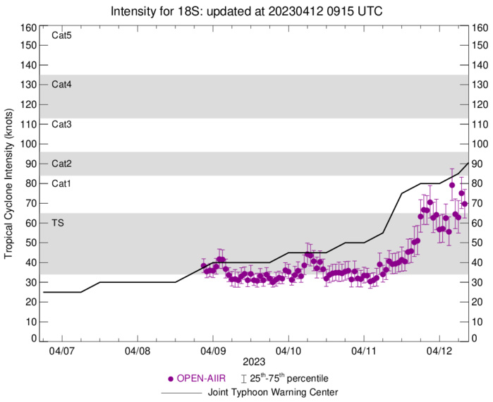
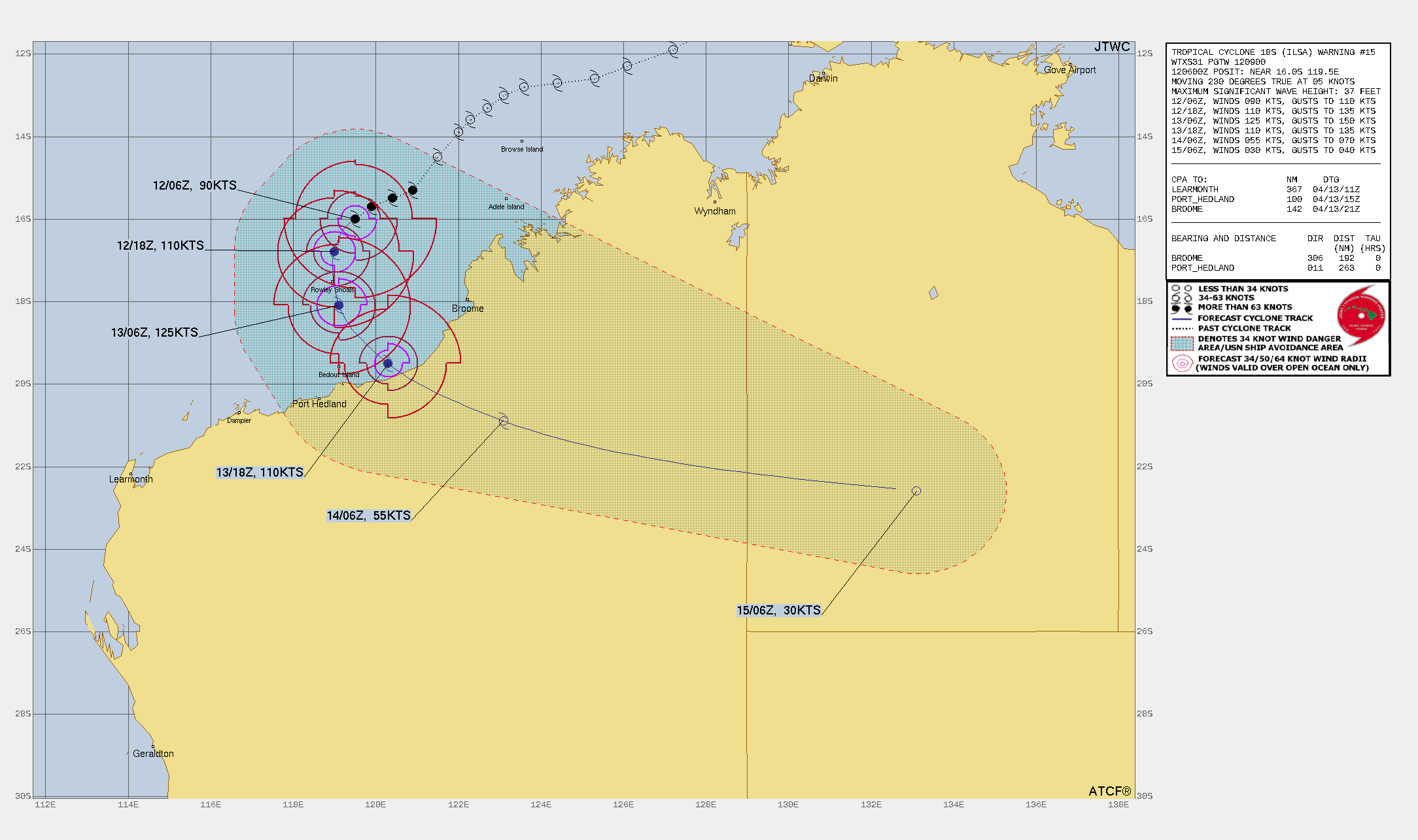
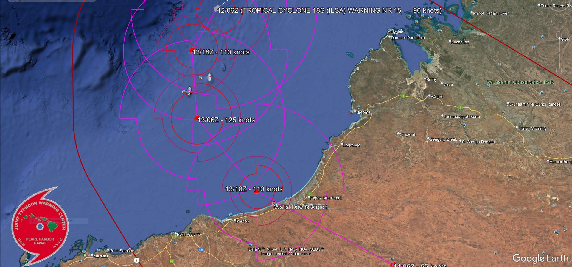
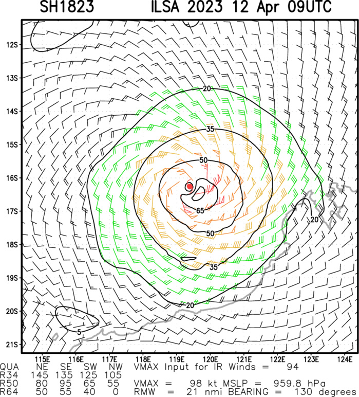
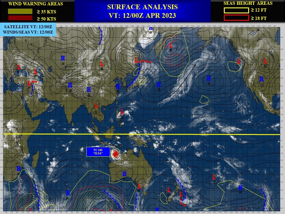
SOUTH INDIAN OCEAN/WESTERN AUSTRALIA: TC 18S(ILSA). CURRENT ESTIMATED INTENSITY IS 90 KNOTS CAT 2 US AT 12/06UTC.
1823041100 139S1220E 50
1823041106 145S1215E 55
1823041112 153S1209E 75
1823041118 155S1204E 80
1823041200 157S1199E 80
1823041206 160S1195E 90
1823041106 145S1215E 55
1823041112 153S1209E 75
1823041118 155S1204E 80
1823041200 157S1199E 80
1823041206 160S1195E 90
WARNING 15 ISSUED AT 12/09UTC.

CLICK ON THE IMAGERY BELOW TO GET IT ANIMATED AND ENLARGED.

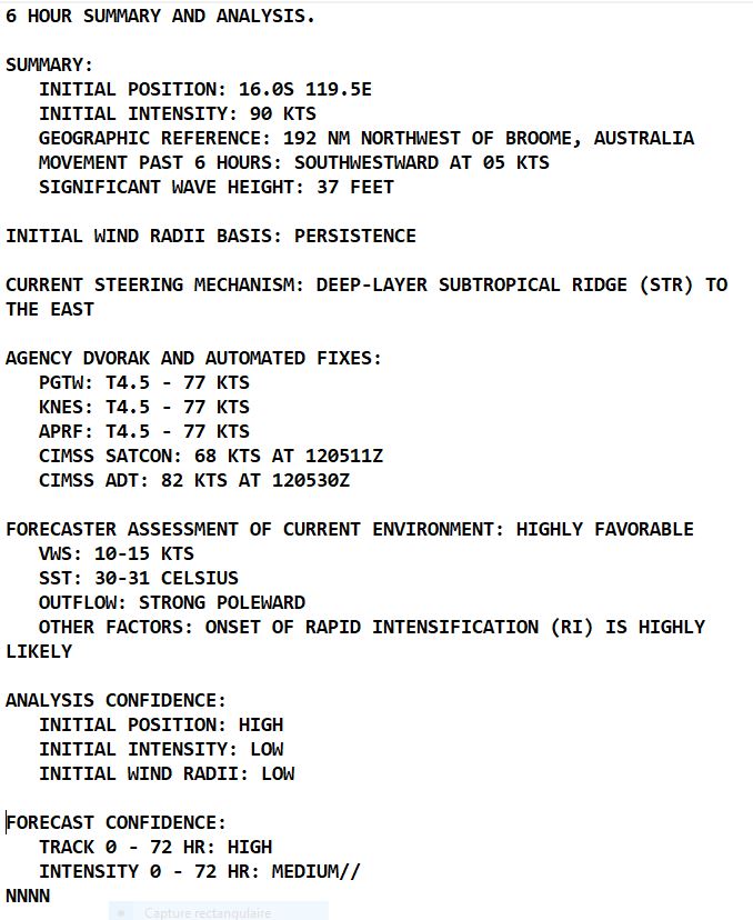
SATELLITE ANALYSIS, INITIAL POSITION AND INTENSITY DISCUSSION: ANIMATED MULTISPECTRAL SATELLITE IMAGERY (MSI) DEPICTS A LARGE CONSOLIDATING CIRCULATION WITH TIGHTLY WRAPPING BANDS OF DEEP CONVECTION IN ALL QUADRANTS. TC ILSA IS STRUGGLING TO FORM AN EYE FEATURE AS VERTICAL HOT TOWERS (VHT) CAN BE SEEN ORBITING THE CORE. DECENT MICROWAVE DATA IS HARD TO COME BY SO A 120514Z ATMS 165GHZ MICROWAVE IMAGE MUST SUFFICE. THIS IMAGE INDICATES A DEEP CONVECTIVE CORE STRUCTURE WITH A SINGLE STRONG CONVECTIVE BAND TO THE SOUTH AND WEAKER FRAGMENTED BANDING TO THE NORTH AND WEST. THE INITIAL POSITION IS PLACED WITH HIGH CONFIDENCE BASED ON MSI AND ATMS IMAGERY. THE INITIAL INTENSITY OF 90 KTS IS ASSESSED WITH MEDIUM CONFIDENCE BASED ON THE ANTICIPATED LAG OF AUTOMATED INTENSITY ESTIMATES AS AN EYE FEATURE STRUGGLES TO FORM. AGENCY DVORAK ESTIMATES REMAIN LOWER AT T4.5 WHILE CIMSS ADT AND DEEP MICRONET (DMN) INDICATE 82-83KTS.
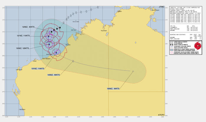
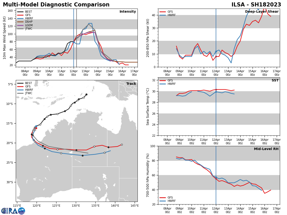
FORECAST REASONING. SIGNIFICANT FORECAST CHANGES: THERE ARE NO SIGNIFICANT CHANGES TO THE FORECAST FROM THE PREVIOUS WARNING. FORECAST DISCUSSION: TC 18S (ILSA) IS FORECAST TO BEGIN ROUNDING THE STR AXIS OVER THE NEXT 24 HOURS. DURING THAT TIME THE SYSTEM WILL BEGIN TO TRACK SOUTH-SOUTHWESTWARD AND EVENTUALLY SOUTHWARD ALL THE WHILE CONTINUING TO INTENSIFY. BY TAU 24, WARM SSTS (30-31C), HIGH OHC VALUES, LOW VERTICAL WIND SHEAR AND STRONG OUTFLOW ALOFT WILL MORE THAN COMPENSATE FOR THE DRY AIR FIGHTING TO ENTRAIN THE SYSTEM. AFTER TAU 24, TC ILSA WILL BE TRACKING GENERALLY SOUTHEASTWARD AND IS FORECAST TO REACH ITS PEAK INTENSITY NEAR 130KTS. BY TAU 36, AS THE SYSTEM APPROACHES THE COAST OF AUSTRALIA INTENSITIES WILL BEGIN TO FALL. AFTER TAU 36, 18S WILL PUSH INLAND AND QUICKLY WEAKEN, EVENTUALLY DISSIPATING NEAR TAU 72.
FORECAST LANDFALL AREA
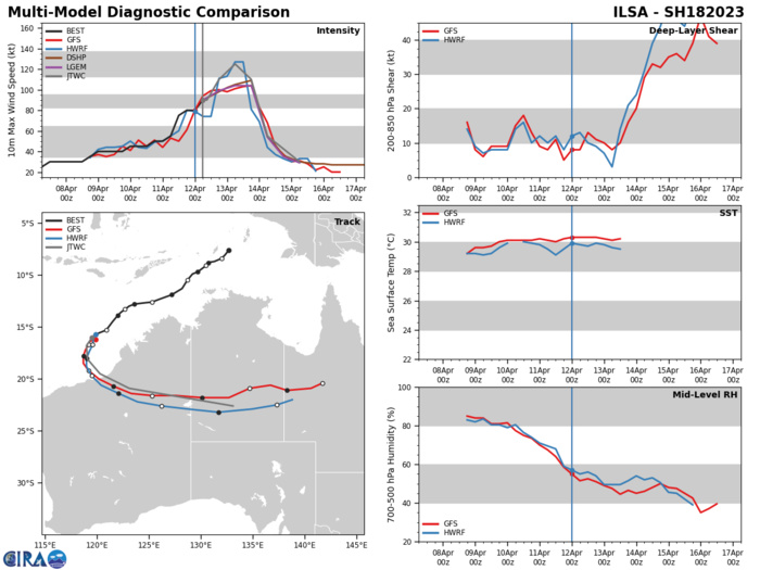
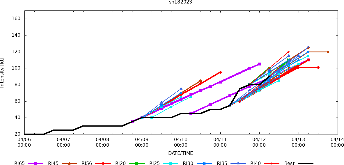
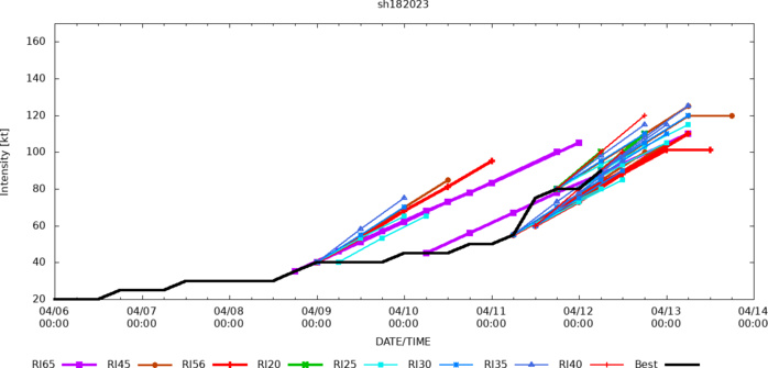
MODEL DISCUSSION: NUMERICAL MODELS ARE IN GOOD AGREEMENT THAT 18S WILL ROUND THE STR AXIS AND MAKE LANDFALL OVER THE RELATIVELY FLAT TERRAIN OF EIGHTY MILE BEACH AND PROCEED INLAND UNTIL DISSIPATION. DUE TO THE 70NM SPREAD IN SOLUTIONS AT LANDFALL THE JTWC FORECAST TRACK IS PLACED CLOSE TO THE MULTI-MODEL CONSENSUS WITH HIGH CONFIDENCE. RELIABLE MODEL INTENSITY GUIDANCE IS IN FAIR AGREEMENT REFLECTING A CONTINUING SPREAD IN MODEL PEAK INTENSITY OUTPUT WITH RAPID INTENSIFICATION (RI) AIDS AND OCEAN COUPLED MODELS (HWRF, COAMPS-TC) INDICATING 120-125KTS WHILE DECAY-SHIPS REMAINS LOWER AT 100-105KTS. DUE TO THE LARGE IMPACT OHC AND SST VALUES ARE PLAYING IN THE SYSTEMS DEVELOPMENT, THE JTWC INTENSITY FORECAST IS PLACED AMONGST THE MORE AGGRESSIVE MEMBERS WITH MEDIUM CONFIDENCE.
RIPA Forecast
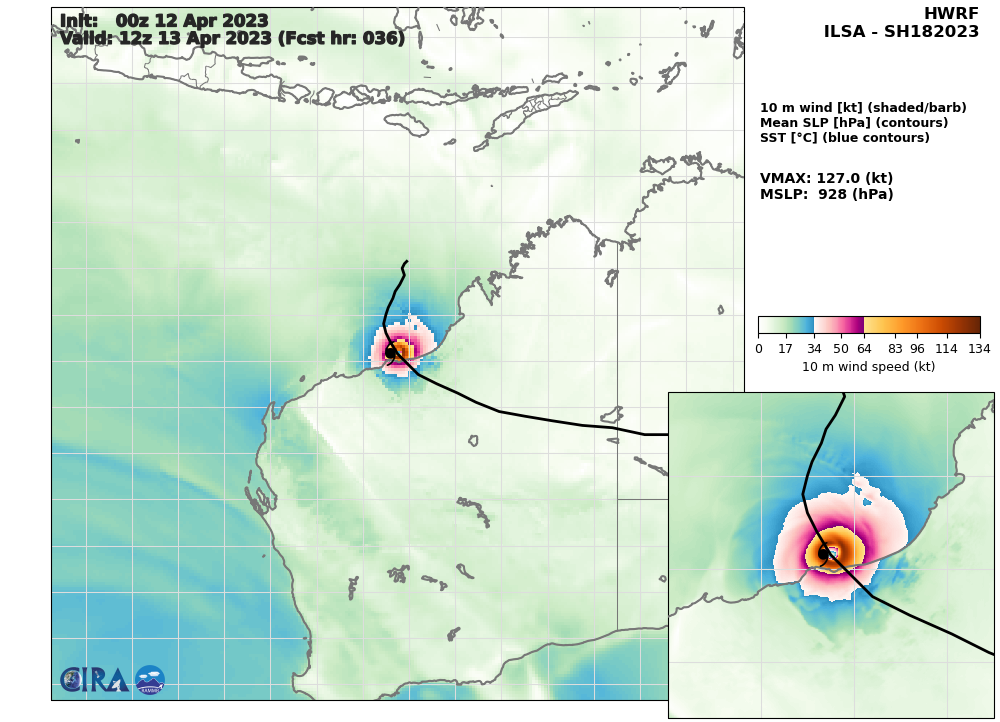
HWRF 10m Wind Speed & Sea Level Pressure AT 12/00UTC: 127KNOTS AT +36H.
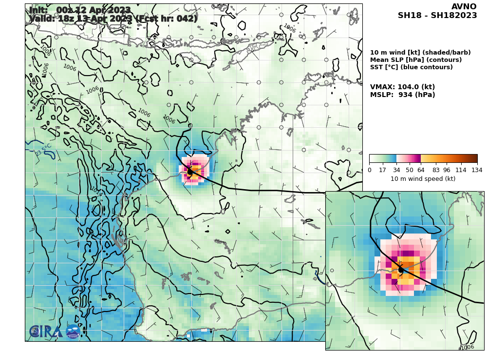
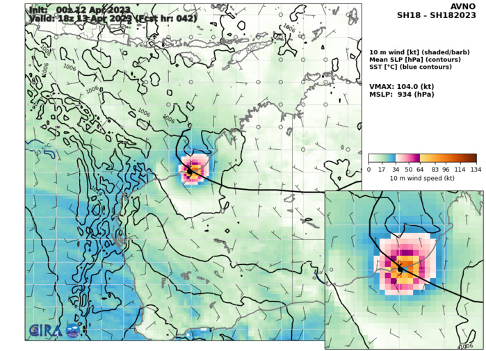
AVNO 10m Wind Speed & Sea Level Pressure AT 12/00UTC: 104KNOTS AT +42H.
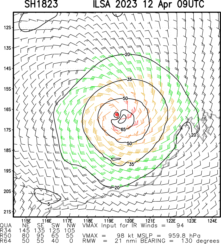
Multiplatform Satellite Surface Wind Analysis (Experimental)
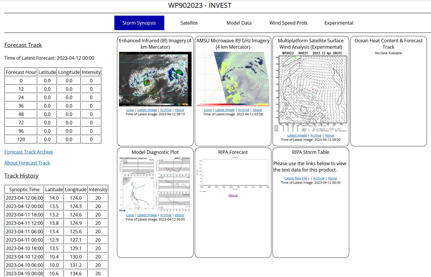
WESTERN NORTH PACIFIC/PHILIPPINE SEA: INVEST 90W. ESTIMATED LOCATION AND INTENSITY AT 12/06UTC. ADVISORY(ABPW) ISSUED AT 12/06UTC.

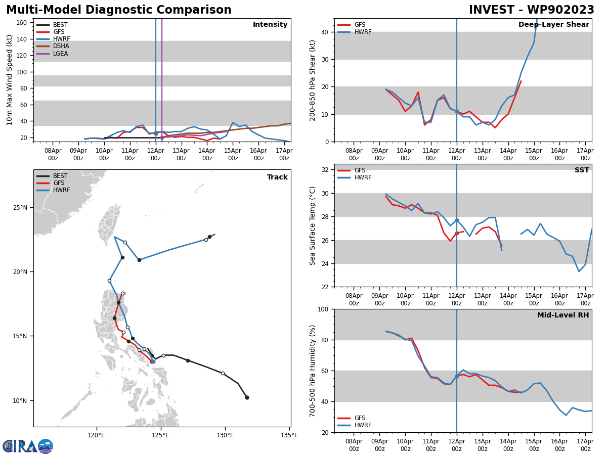
THE AREA OF CONVECTION (INVEST 90W) PREVIOUSLY LOCATED NEAR 13.2N 124.6E IS NOW LOCATED NEAR 13.5N 124.3E, APPROXIMATELY 38 NM NORTHEAST OF LEGAZPI, PHILIPPINES. ANIMATED ENHANCED MULTI-SPECTRAL SATELLITE IMAGERY DEPICTS WEAKENING CONVECTION BROADENING ACROSS THE CENTRAL PHILIPPINES AS THE LLCC MAKES LANDFALL. 90W IS IN A PREDOMINANTLY UNFAVORABLE ENVIRONMENT DUE TO LAND INTERACTION, DESPITE LOW (05-10 KTS) VERTICAL WIND SHEAR, AND WARM (27-28 C) SST. GLOBAL MODELS ARE IN AGREEMENT THAT 90W WILL CONTINUE WESTWARD AND DISSIPATE OVER THE PHILIPPINES. MAXIMUM SUSTAINED SURFACE WINDS ARE ESTIMATED AT 15 TO 20 KNOTS. MINIMUM SEA LEVEL PRESSURE IS ESTIMATED TO BE NEAR 1004 MB. THE POTENTIAL FOR THE DEVELOPMENT OF A SIGNIFICANT TROPICAL CYCLONE WITHIN THE NEXT 24 HOURS REMAINS LOW.
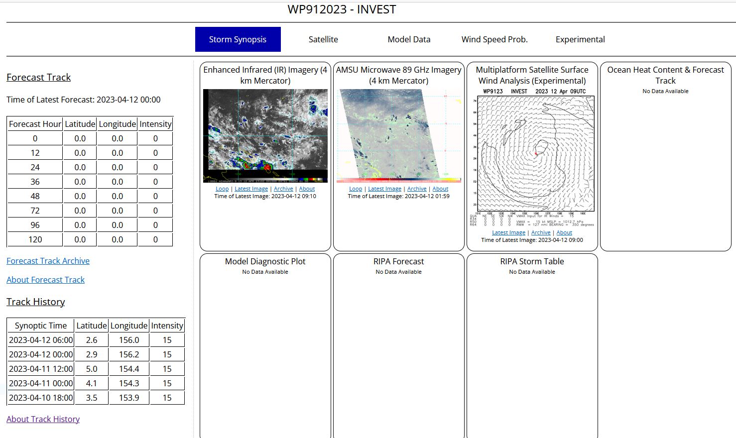
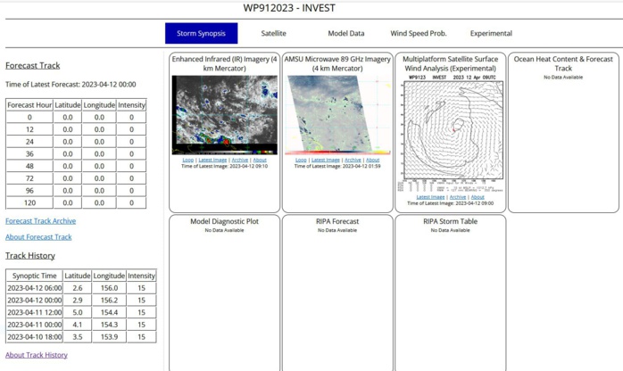
WESTERN NORTH PACIFIC: INVEST 91W. ESTIMATED LOCATION AND INTENSITY AT 12/06UTC.
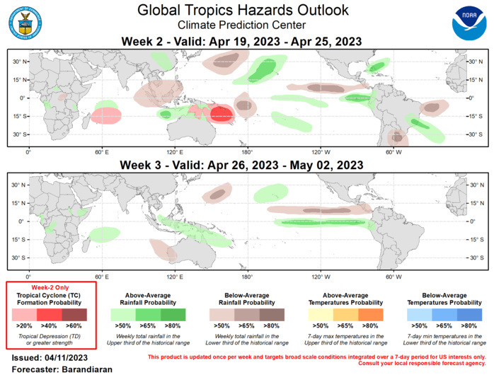
Last Updated - 04/11/23 Valid - 04/19/23 - 05/02/23 The Madden-Julian Oscillation (MJO) has been very active since early March and is now the dominant driver of variability in the tropics as any residual influence from the long-lived La Nina base state fades. The RMM index is currently near the phase 6-7 boundary (Western Pacific), and model guidance generally favors a continued eastward propagation of the MJO signal through the week-3 period, although there is considerable disagreement as to the strength of the convective envelope and the speed at which it propagates. Warming of sea surface temperatures in the Tropical Pacific continues with all Nino regions above average, especially Nino 1+2, which is 2.7 C above average. There has been a slight uptick in tropical cyclone (TC) activity in the last week, with TC Ilsa that formed off the northwest coast of Australia, and an area east of the Philippines currently being monitored by the Joint Typhoon Warning Center, which is favored to spawn another TC in the near future. TC Ilsa is forecast to track southwestward into the northeast Australian coast, increasing in intensity as it does so. For more details on TC Ilsa, please consult your local meteorological agency. Despite model solutions depicting MJO propagation into the Western Hemisphere during week-2 which would generally be unfavorable to TC formation for the Australia region, guidance from the GEFS and ECMWF favor a continued enhanced chance for TC formation for this region, particularly over the Coral Sea. Ensemble solutions also favor enhanced chances for TC genesis for the southwestern Indian Ocean as the suppressed phase of the MJO moves out of the region. The precipitation outlook for the next two weeks is based on anticipated TC tracks, the anticipated state of the MJO, and consensus of GEFS, CFS, and ECMWF ensemble mean solutions. Below-normal precipitation is indicated for portions of Southeast Asia and the western Maritime Continent during week-2, while above-normal precipitation is favored for the eastern Maritime Continent for both weeks. Enhanced precipitation continues for both weeks for the Hawaii region, particularly for week-2. Above-normal precipitation is also likely for the Equatorial Eastern Pacific and the coasts of Ecuador and Peru for both weeks, which will likely exacerbate flooding and landslides already affecting the region.
