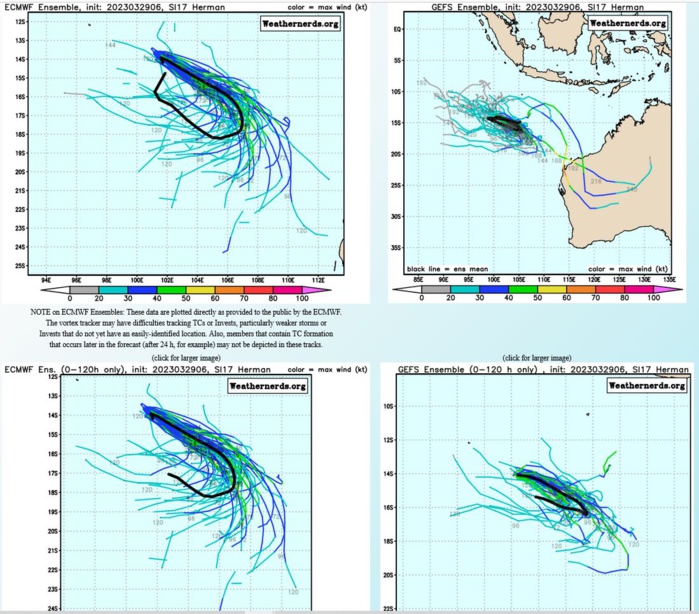
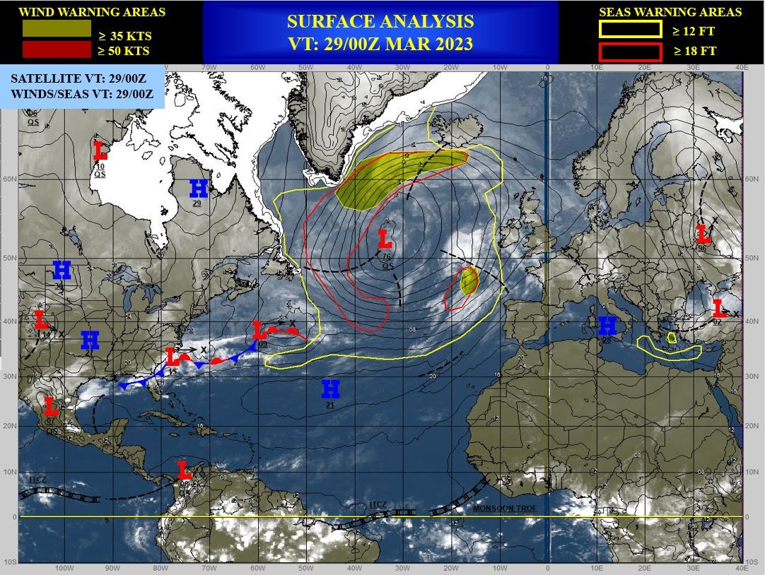
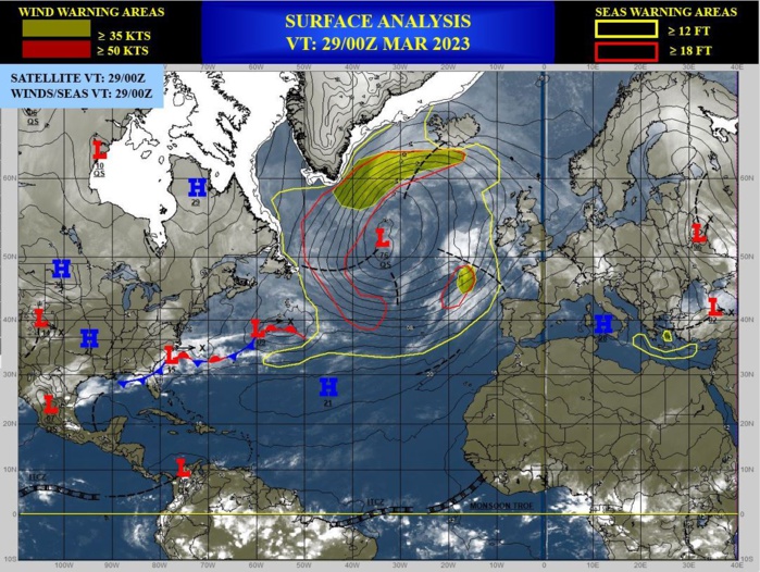
CLICK ON THE IMAGERIES BELOW TO GET THEM ENLARGED
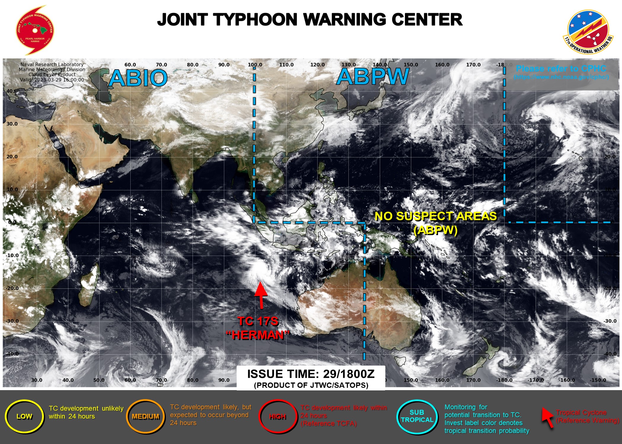
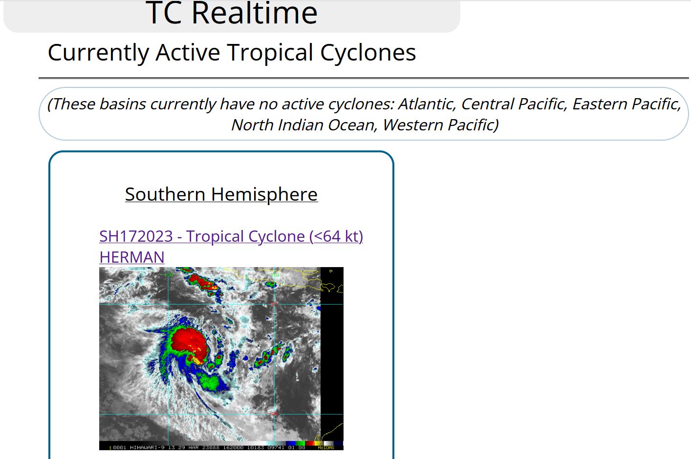
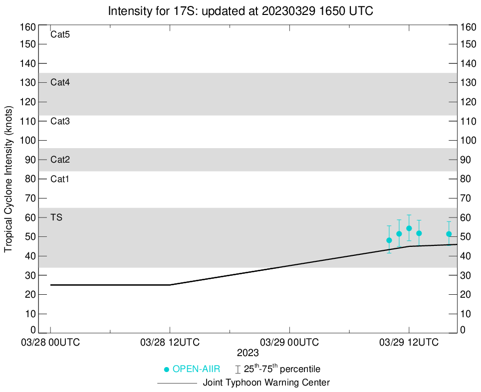
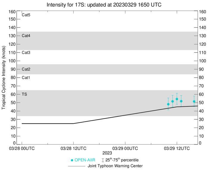
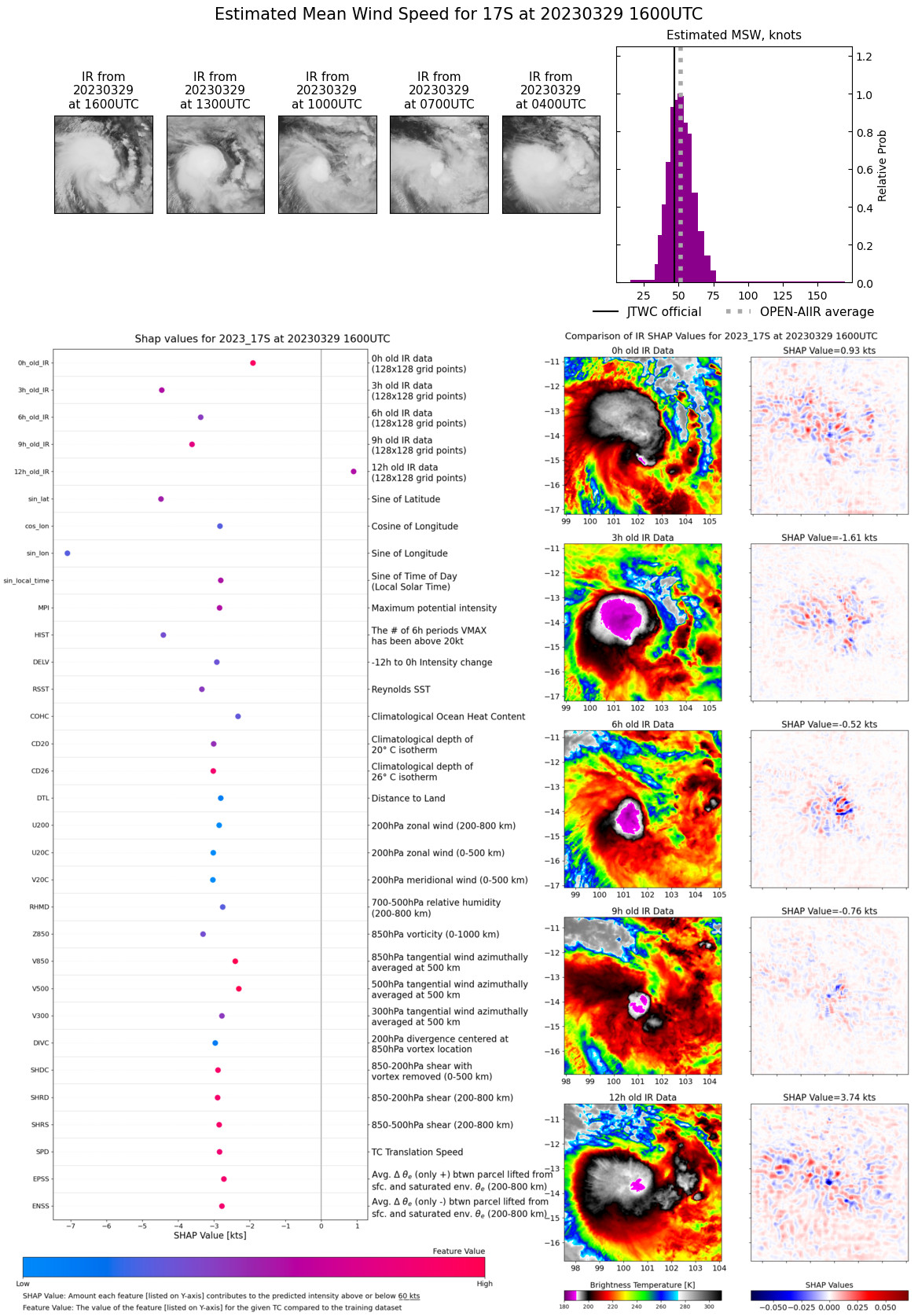
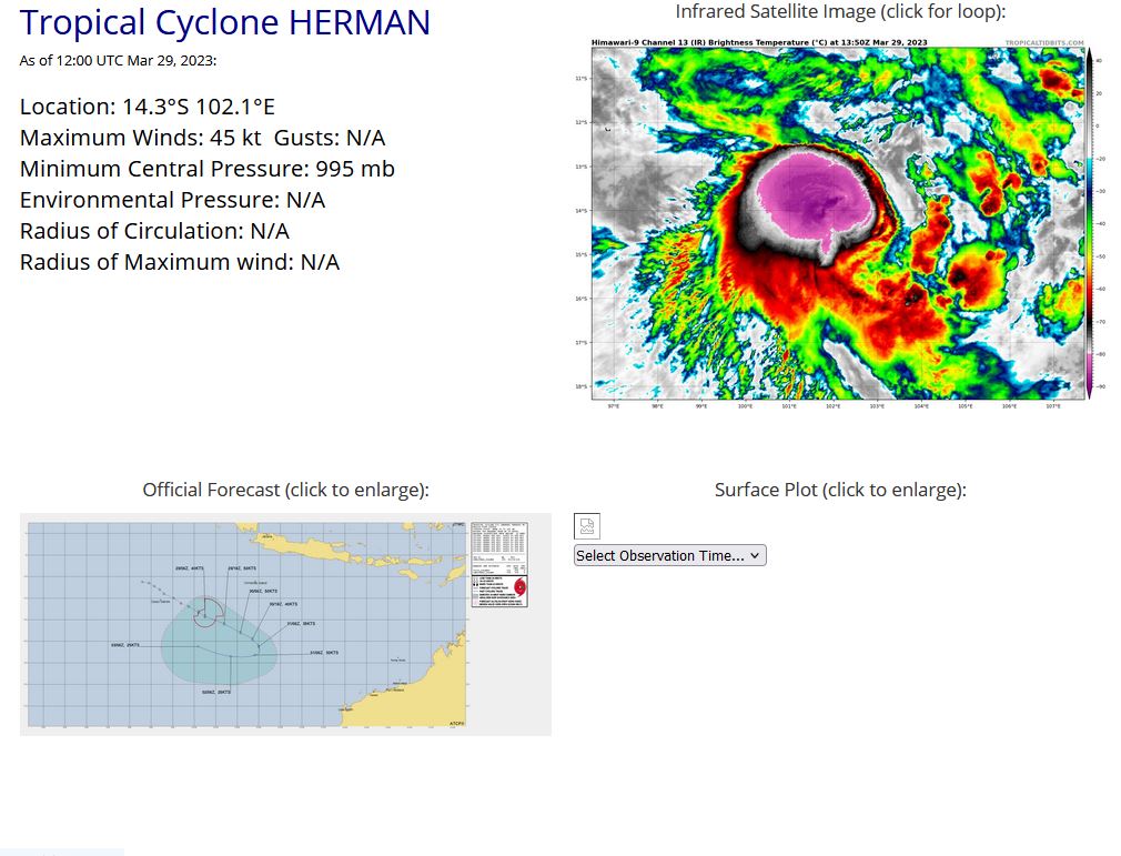
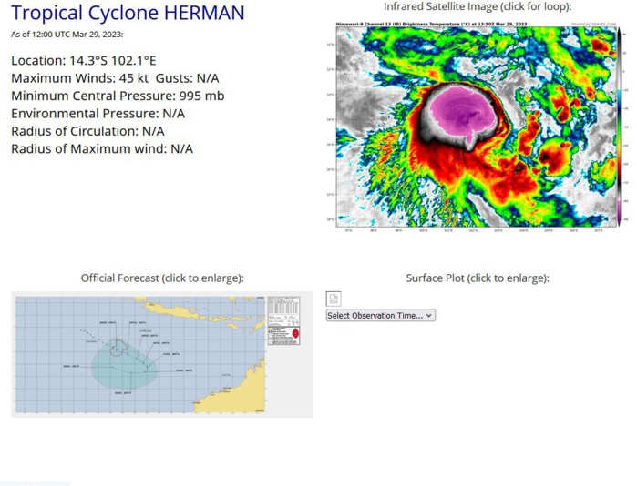
SOUTH INDIAN OCEAN: TC 17S(HERMAN). CURRENT ESTIMATED INTENSITY IS 45 KNOTS AT 29/12UTC.
SOUTH INDIAN OCEAN: TC 17S(HERMAN). ESTIMATED LOCATION AND INTENSITY AT 29/12UTC.
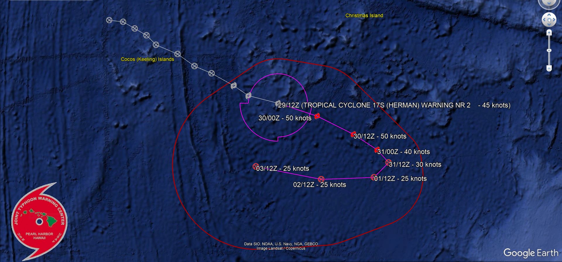
WARNING 2 ISSUED AT 29/15UTC.
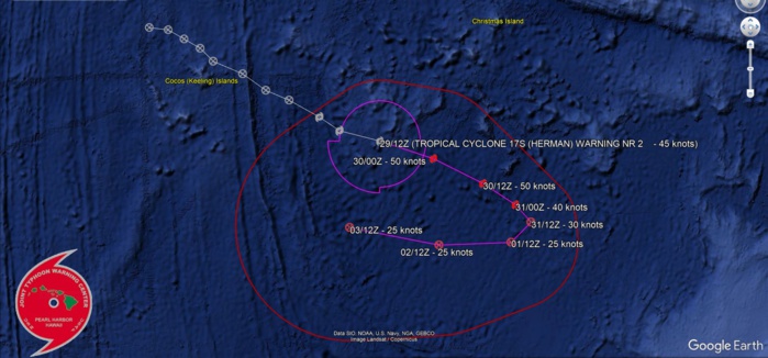
REMARKS: 291500Z POSITION NEAR 14.1S 102.6E. 29MAR23. TROPICAL CYCLONE 17S (HERMAN), LOCATED APPROXIMATELY 841 NM NORTHWEST OF LEARMONTH, AUSTRALIA, HAS TRACKED EAST- SOUTHEASTWARD AT 12 KNOTS OVER THE PAST SIX HOURS. MAXIMUM SIGNIFICANT WAVE HEIGHT AT 291200Z IS 19 FEET.
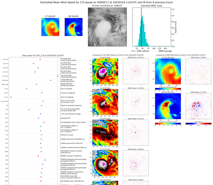
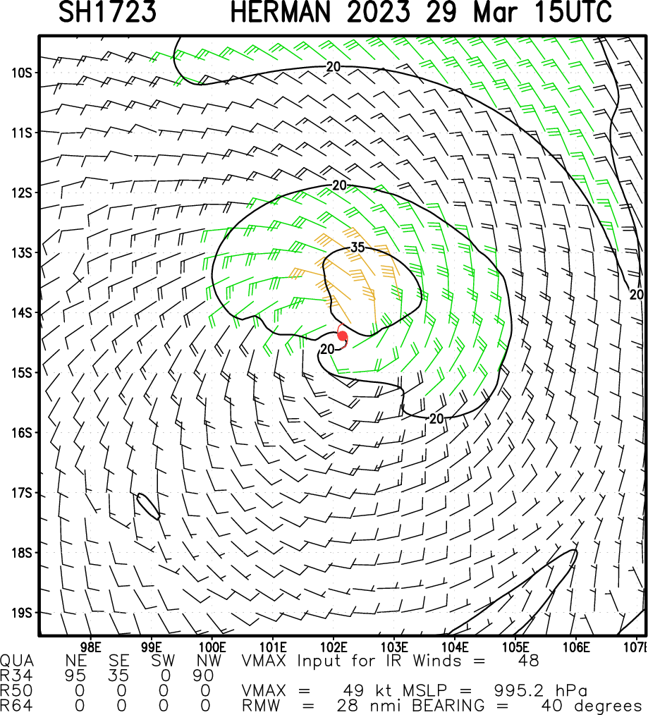
Multiplatform Satellite Surface Wind Analysis (Experimental)
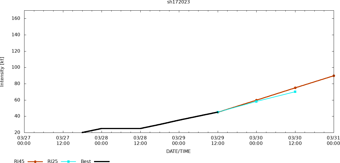
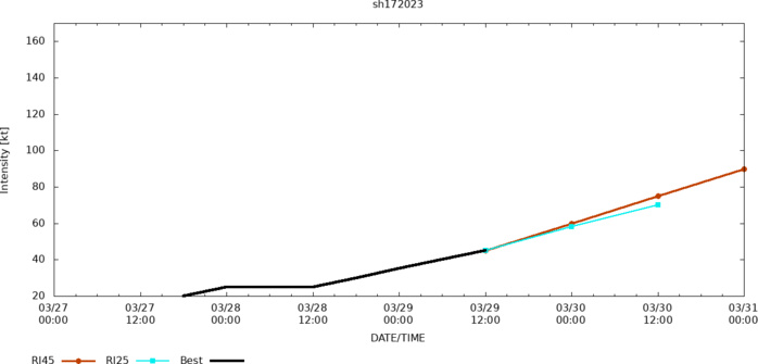
RIPA Forecast
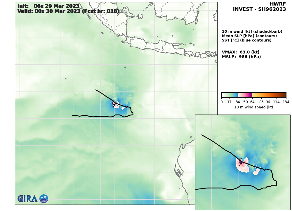
HWRF AT 29/06UTC: 63KNOTS AT +18H
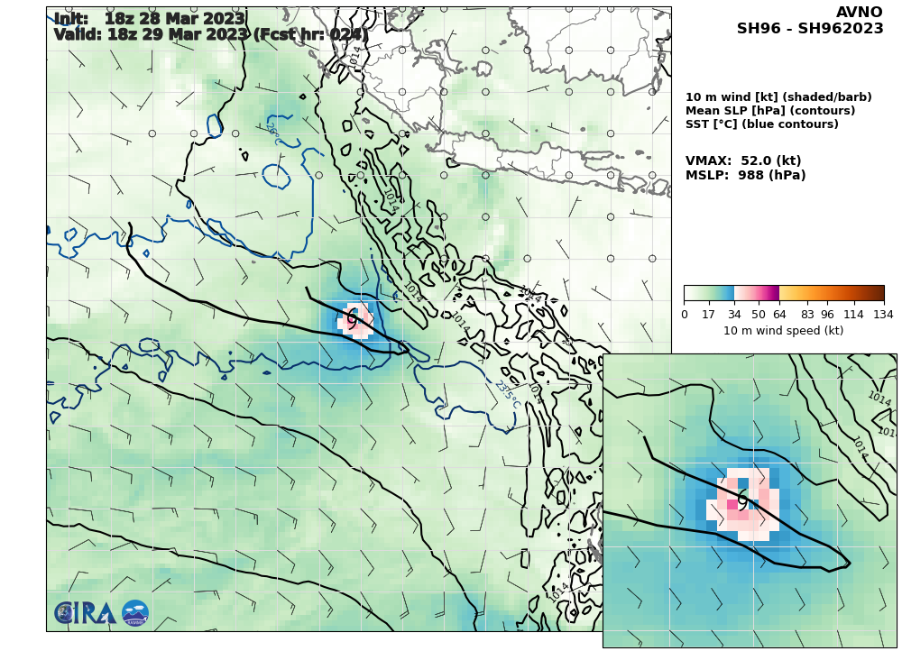
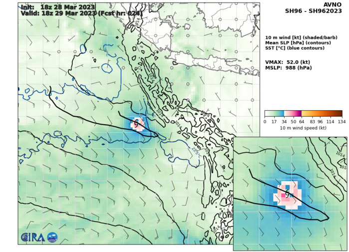
AVNO AT 29/06UTC: 52KNOTS AT +24H

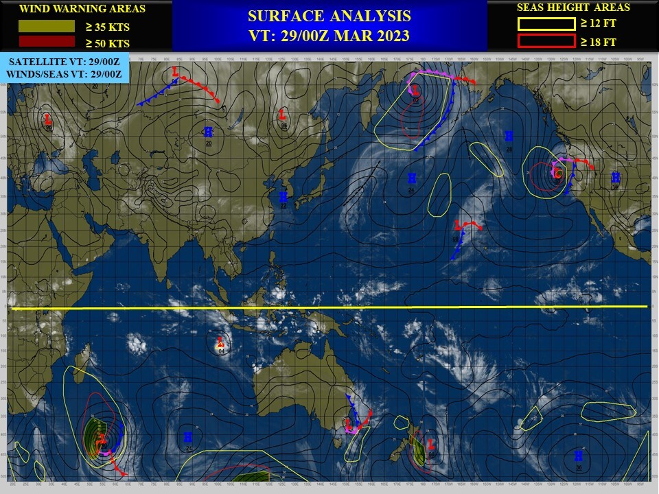
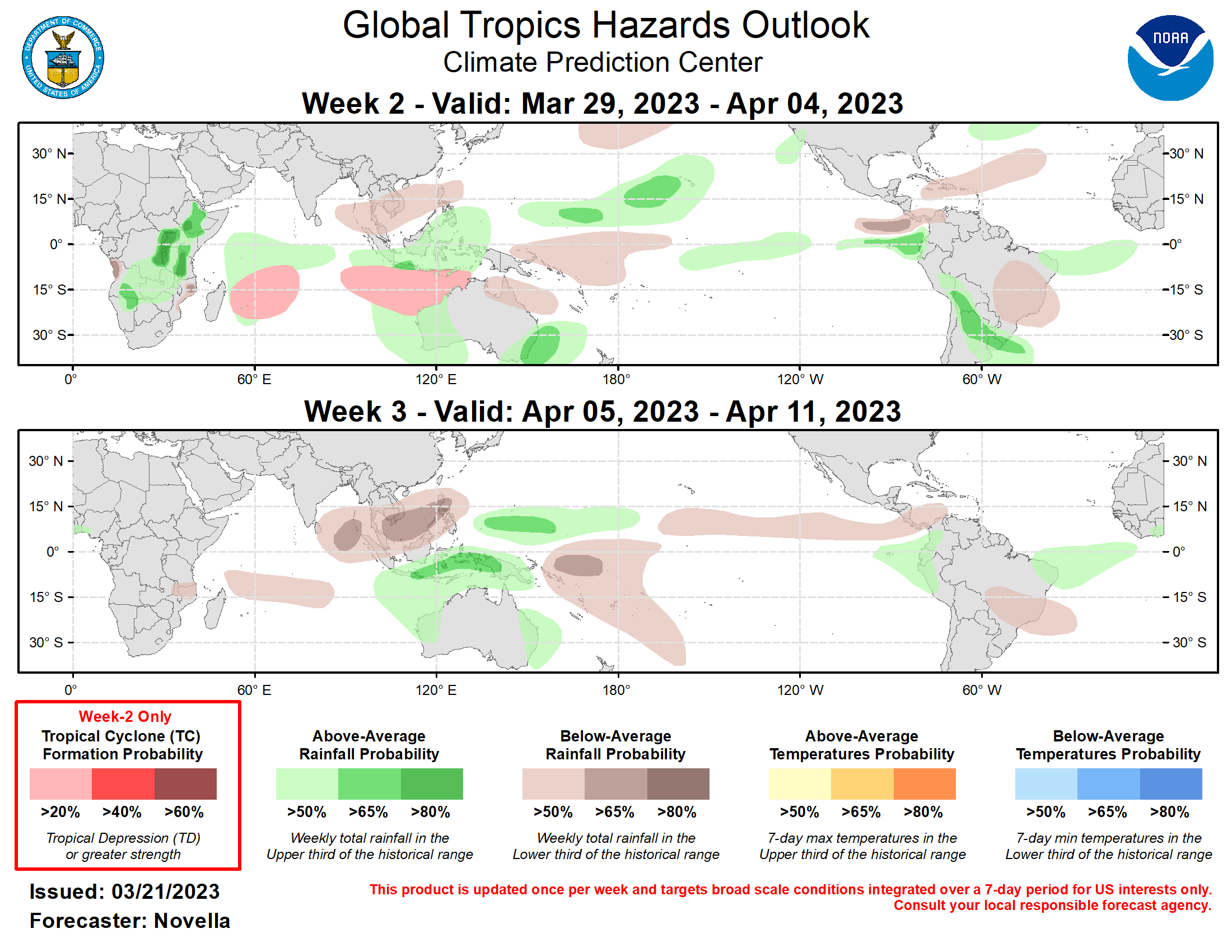
Last Updated - 03/28/23 Valid - 04/05/23 - 04/18/23 Following a robust Madden Julian Oscillation (MJO) across the Western Hemisphere earlier in March, the intraseasonal signal has since weakened as it moved over the Indian Ocean during the past week. The GEFS and ECMWF dynamical model ensembles are in good agreement regarding a weakened MJO signal for the next week followed by renewed strengthening across the Maritime Continent and Western Pacific in early April. This could lead to an extratropical response typical of La Nina, possibly leading to above (below) normal temperatures over the eastern (western) contiguous U.S. during April. The global tropics have remained quiet throughout much of March due to a highly suppressed convective envelope across the Indian and Pacific Oceans, with the only tropical cyclone (TC) formation being short-lived and weak Tropical Depression 9 over the Southern Indian Ocean on March 25. However, there are signs of additional TC activity over the Southern Indian Ocean during the next week, with the Joint Typhoon Warning Center monitoring two disturbances for potential development (96S and 97S) over the basin. By week-2, TC activity is forecast to shift closer to northwestern Australia as the MJO strengthens over the Maritime Continent and Western Pacific, with the suppressed phase moving back over the Indian Ocean. The GEFS and ECMWF ensembles both depict a TC possibly developing late in week-1 or early in week-2 and moving toward the Kimberley Coast of Australia. Therefore, moderate chances (40%) of TC formation is highlighted to the northwest of Australia through the Timor Sea. Upper-level conditions are favored to support continued increased chances of TC development through week-2, should the initial disturbance develop prior to the start of the period. Although enhanced convection is forecast over the Western North Pacific during week-2, the TC climatology for the period is still fairly low, precluding a related risk area for the region. However, increasing climatology combined with the MJO may lead to increased chances of TC development across the region by mid-April. Forecasts for above- and below-normal rainfall are based on a skill weighted blend of extended range dynamical models and historical MJO composites. Notably, above-normal rainfall is forecast across portions of the east-central contiguous U.S. during week-2 where frontal activity may trigger episodes of heavy, convective rainfall. Above-normal rainfall is also favored over the eastern equatorial Pacific through week-3, and this may adversely impact parts of Ecuador and northern Peru, which have experienced floods and landslides due to heavy rainfall received during March. The MJO signal shifting into the Western Pacific during weeks 2 and 3 supports increased chances of above-normal rainfall across northern Australia regardless of TC formation.
