Menu

2 week cyclonic development potential. 16/1830utc update


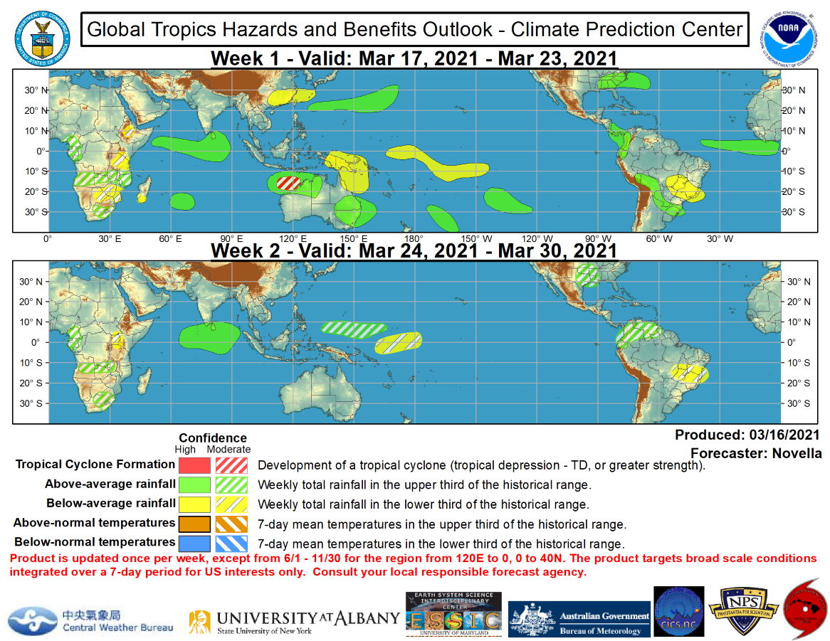
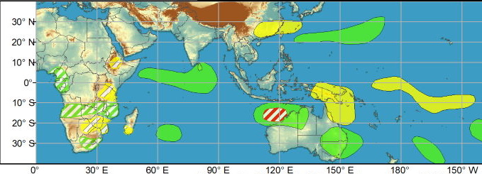
WEEK1: No tropical cyclones (TCs) formed during the last week. Since forming on 4 March, Subtropical Storm Habana remains over the southern Indian Ocean and the Joint Typhoon Warning Center (JTWC) forecasts Habana to eventually dissipate to the east of Mauritius by the start of week-1. In the southeastern Indian Ocean, there is agreement among the GEFS and ECMWF ensembles featuring an area of deepening low pressure off the Kimberley Coast of Australia by the upcoming weekend. Probabilistic TC tools continue to show some support for tropical cyclogenesis in the region, and a moderate confidence region is issued for week-1. Farther east across the South Pacific, there is model support for an area of deepening low pressure over French Polynesia during week-1; however, TC formation does not appear likely given the infrequency of TCs in the region and with the suppressed phase of the MJO anticipated to be over this part of the basin.


WEEK1: No tropical cyclones (TCs) formed during the last week. Since forming on 4 March, Subtropical Storm Habana remains over the southern Indian Ocean and the Joint Typhoon Warning Center (JTWC) forecasts Habana to eventually dissipate to the east of Mauritius by the start of week-1. In the southeastern Indian Ocean, there is agreement among the GEFS and ECMWF ensembles featuring an area of deepening low pressure off the Kimberley Coast of Australia by the upcoming weekend. Probabilistic TC tools continue to show some support for tropical cyclogenesis in the region, and a moderate confidence region is issued for week-1. Farther east across the South Pacific, there is model support for an area of deepening low pressure over French Polynesia during week-1; however, TC formation does not appear likely given the infrequency of TCs in the region and with the suppressed phase of the MJO anticipated to be over this part of the basin.
Issued at 16/1830UTC by NOAA.
In collaboration with the JTWC and several well known organizations.

 Archives: HERE

Cheers,
Patrick Hoareau
M974World
ILES SOEURS

Cyclone Class 4
 Cheers,PH.

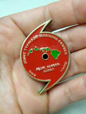
Joint Typhoon Warning Center
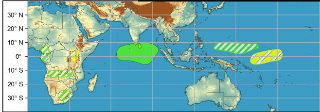
WEEK2: For week-2, the greatest potential for TC formation is over the Bay of Bengal associated with Rossby wave activity predicted late in the outlook period. While there is modest support in probabilistic TC tools, there continues to be large ensemble spread and poor run-to-run continuity in the deterministic guidance. Given the uncertainty at this lead, and that tropical cyclogenesis is not climatologically favored in the northern Indian Ocean during late March, there is insufficient confidence to post a TC formation area at this time but this region will be monitored in subsequent outlooks.
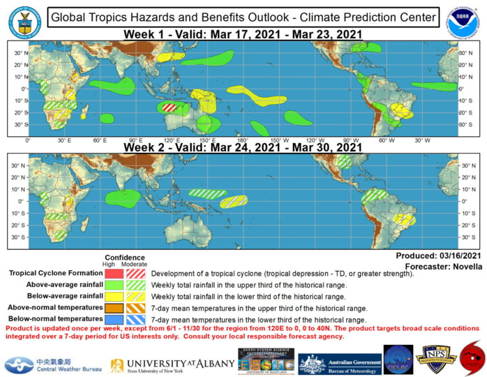

The precipitation outlook during the next two weeks is based on the consensus among the CFS, GEFS and ECMWF ensemble means, the low frequency state, MJO composites, and anticipated TC tracks. Enhanced precipitation is favored over the southeastern U.S. associated with a frontal system early in week-1. Above-normal precipitation is also favored to continue over portions of Central and South America where the additional precipitation is likely to exacerbate saturated ground conditions over flood affected areas of Columbia and Bolivia. Across the Pacific, below-normal precipitation is likely to persist across the central equatorial Pacific tied to the ongoing La Nina. Farther east, there is good model support for enhanced precipitation over the equatorial Indian Ocean through the end of March, with above-normal precipitation also favored over parts of eastern Australia during week-1. The enhanced convection over the Indian Ocean would be consistent with MJO activity.
Rédigé par PATRICK HOAREAU le Wednesday, March 17th 2021 à 10:10