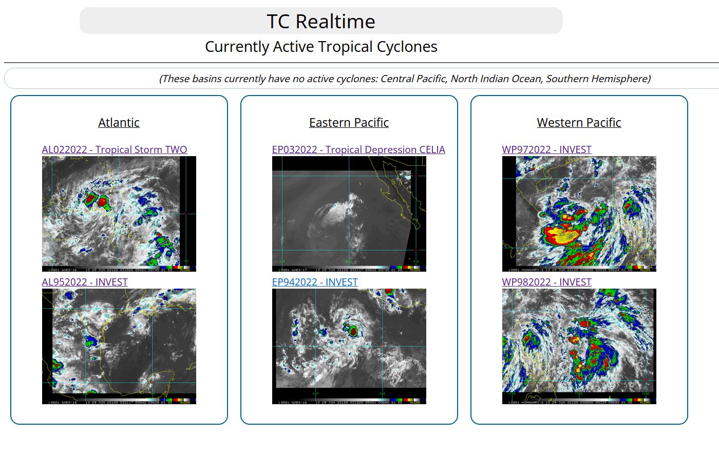
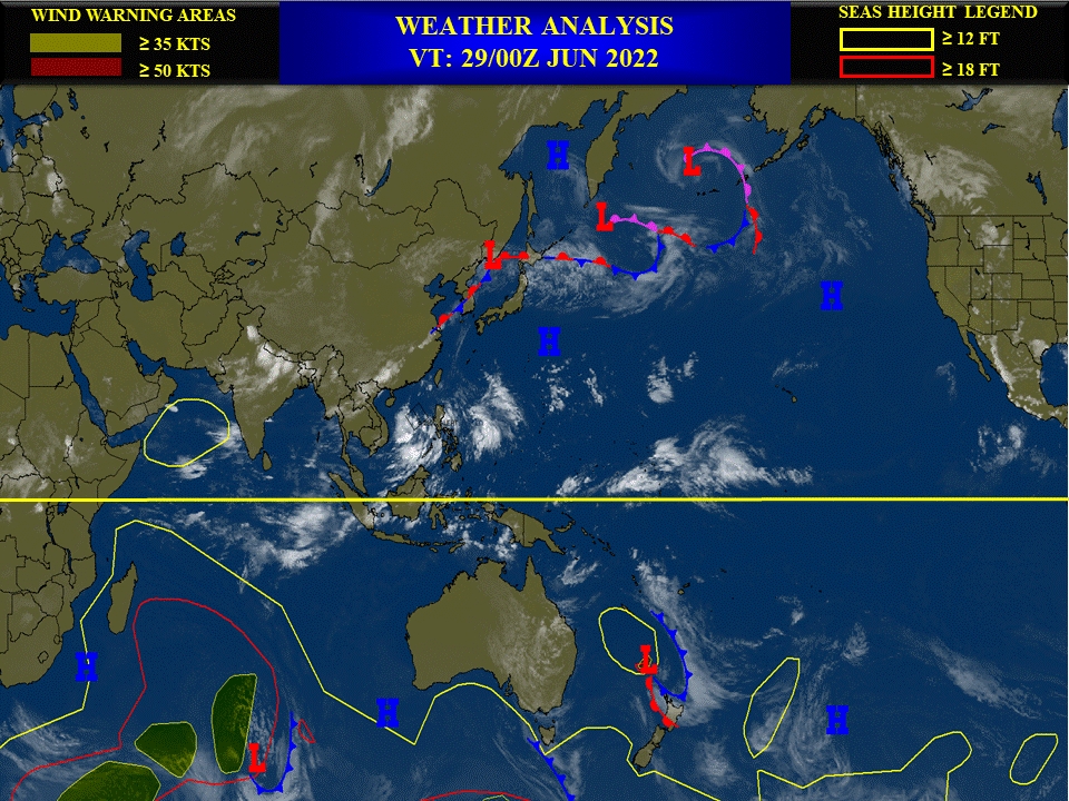
CLICK ON THE IMAGERIES BELOW TO GET THEM ENLARGED.
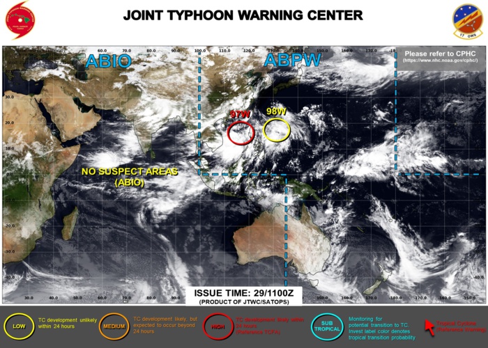
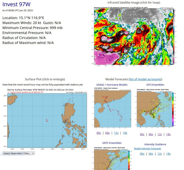
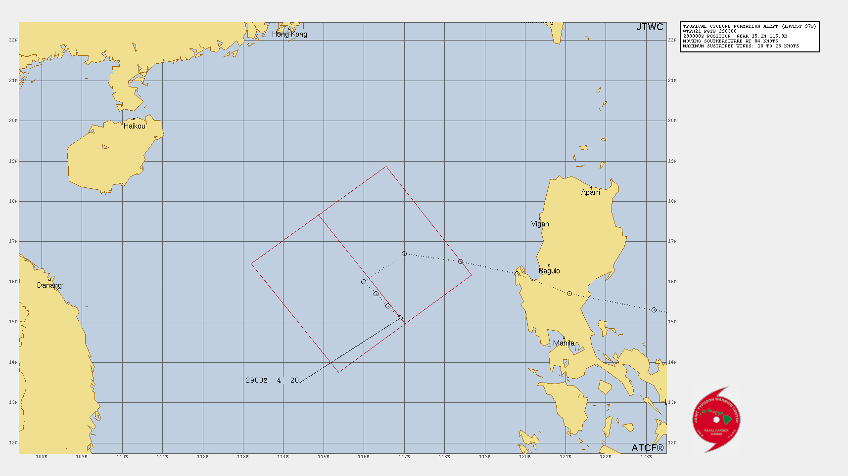
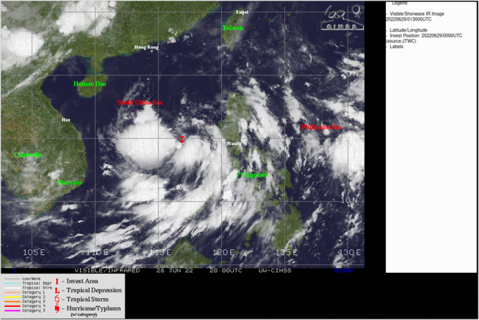
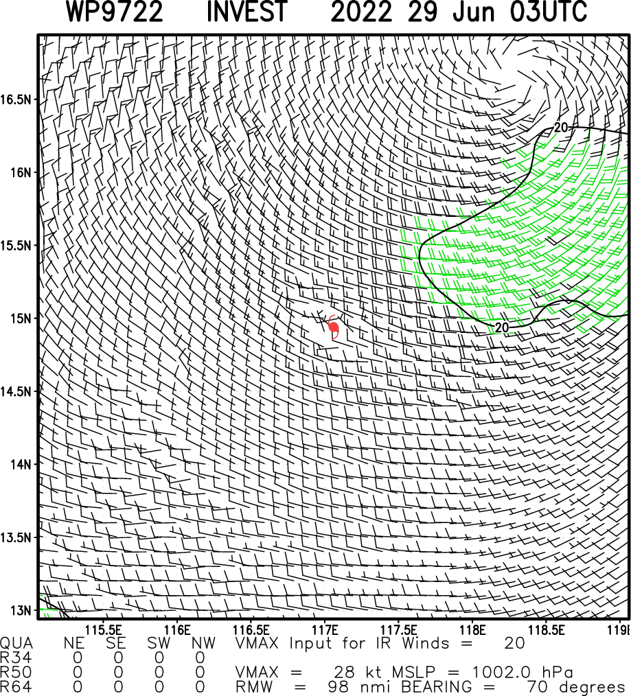
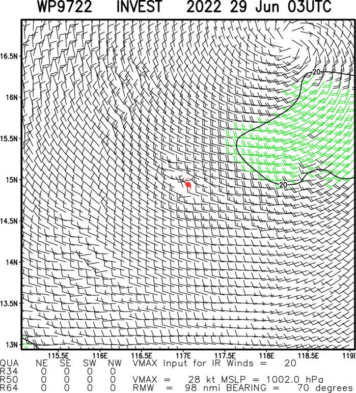
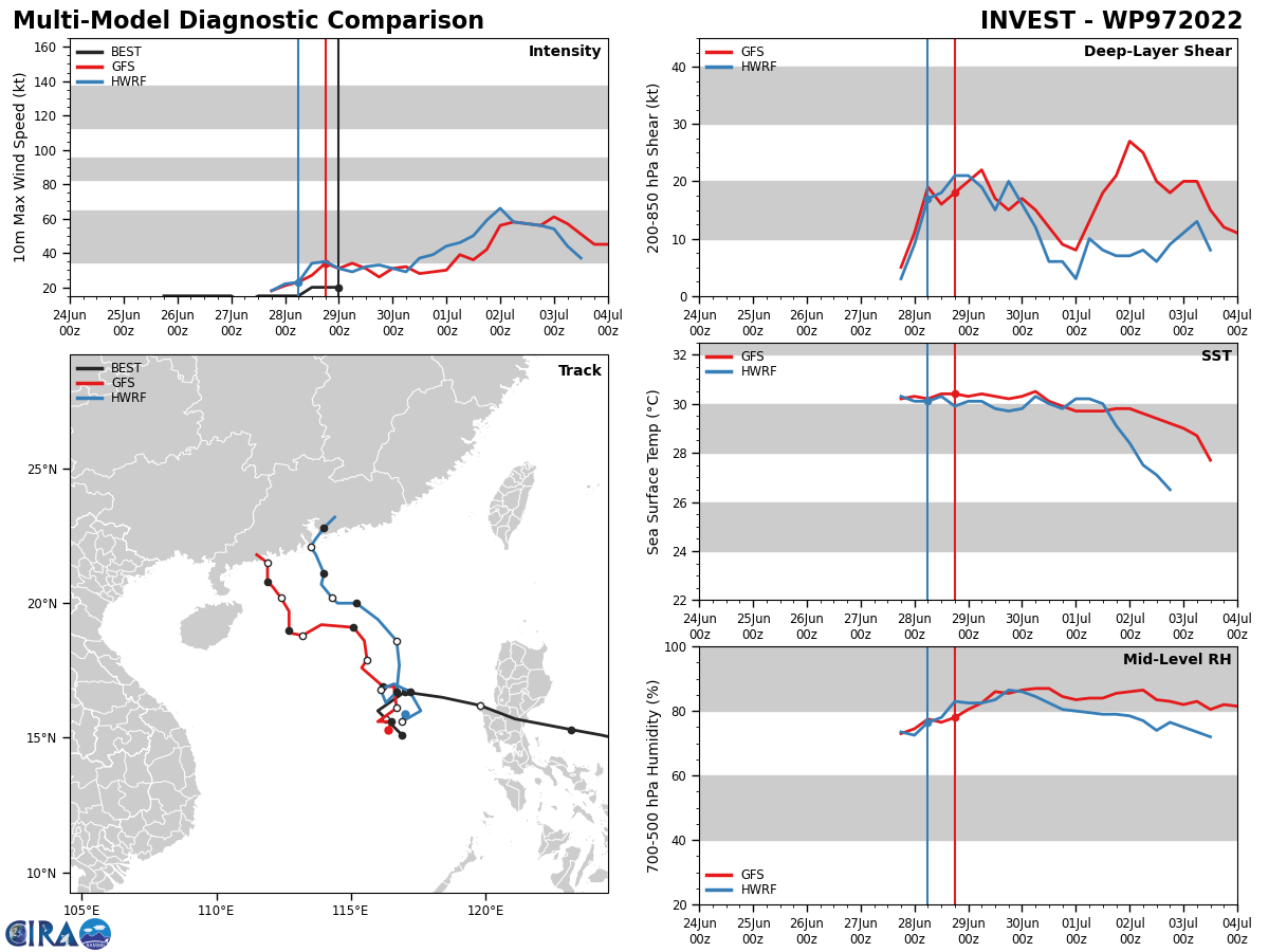
WESTERN NORTH PACIFIC: SOUTH CHINA SEA: INVEST 97W. TROPICAL CYCLONE FORMATION ALERT ISSUED AT 29/03UTC.
WP, 97, 2022062800,167N, 1170E, 15, 1005
WP, 97, 2022062806,160N, 1160E, 15, 1003
WP, 97, 2022062812,157N, 1163E, 20, 1000
WP, 97, 2022062818,154N, 1166E, 20, 999
WP, 97, 2022062900,151N, 1169E, 20, 999
WP, 97, 2022062806,160N, 1160E, 15, 1003
WP, 97, 2022062812,157N, 1163E, 20, 1000
WP, 97, 2022062818,154N, 1166E, 20, 999
WP, 97, 2022062900,151N, 1169E, 20, 999
CLICK TO ANIMATE.
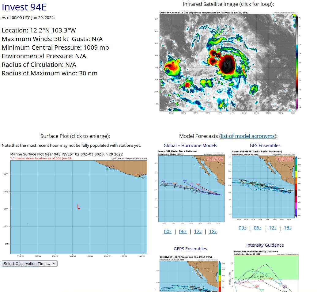
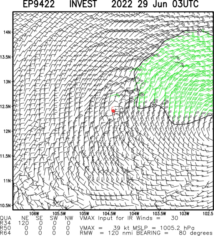
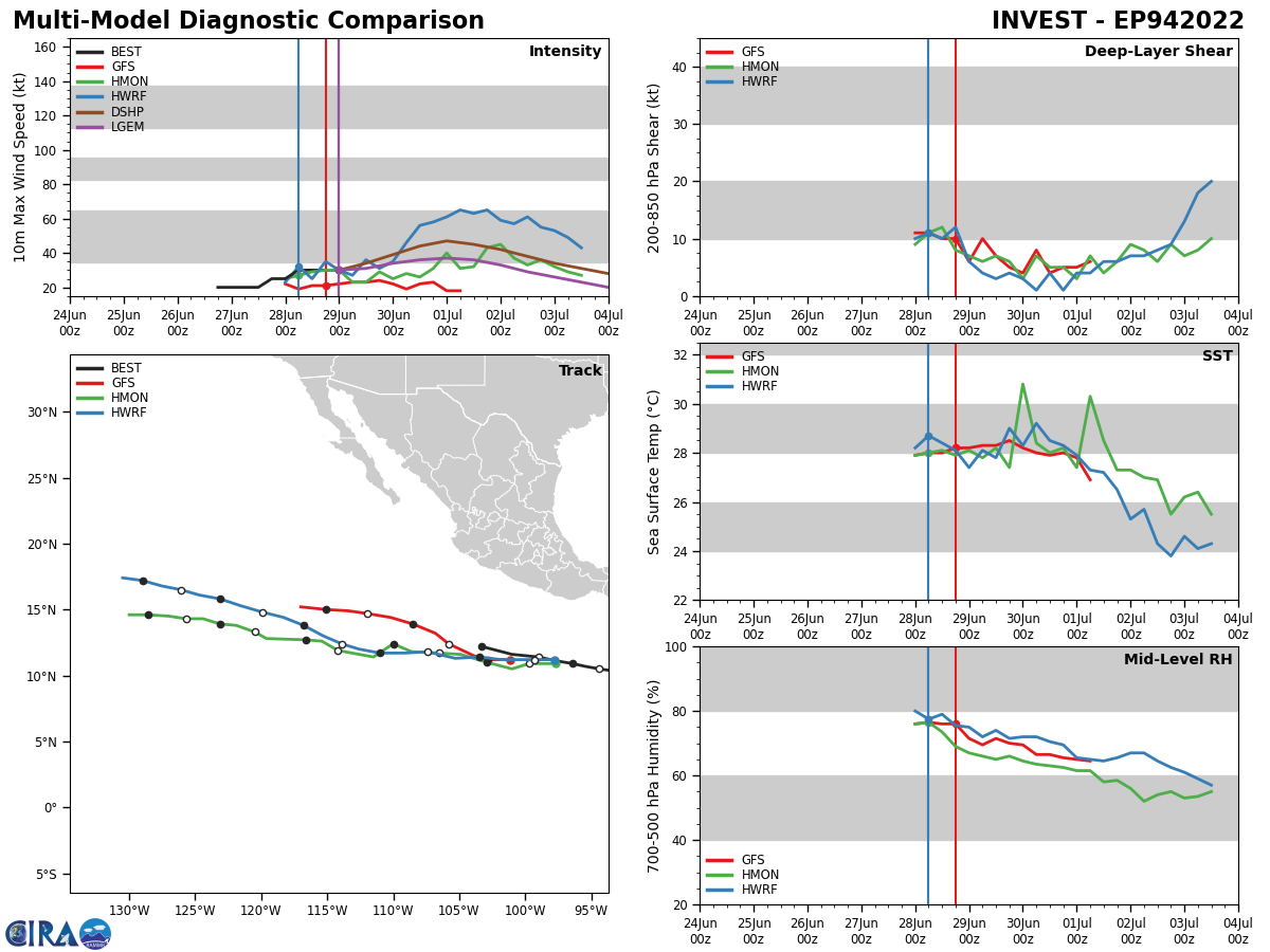
EASTERN NORTH PACIFIC: INVEST 94E. TROPICAL CYCLONE FORMATION ALERT ISSUED AT 29/02UTC.
EP, 94, 2022062800,109N, 964W, 25, 1010
EP, 94, 2022062806,111N, 976W, 30, 1009
EP, 94, 2022062812,114N, 990W, 30, 1009
EP, 94, 2022062818,116N, 1010W, 30, 1009
EP, 94, 2022062900,122N, 1033W, 30, 1009
EP, 94, 2022062806,111N, 976W, 30, 1009
EP, 94, 2022062812,114N, 990W, 30, 1009
EP, 94, 2022062818,116N, 1010W, 30, 1009
EP, 94, 2022062900,122N, 1033W, 30, 1009
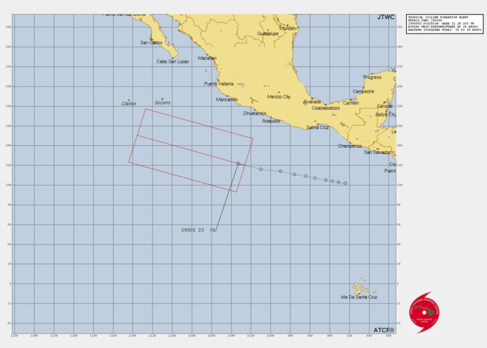
FORMATION OF A SIGNIFICANT TROPICAL CYCLONE IS POSSIBLE WITHIN A 120 NM RADIUS OF 12.1N 103.3W WITHIN THE NEXT 12 TO 24 HOURS. AVAILABLE DATA DOES NOT JUSTIFY ISSUANCE OF NUMBERED TROPICAL CYCLONE WARNINGS AT THIS TIME. WINDS IN THE AREA ARE ESTIMATED TO BE 18 TO 23 KNOTS. METSAT IMAGERY AT 290000Z INDICATES THAT A CIRCULATION CENTER IS LOCATED NEAR 12.1N 103.3W. THE SYSTEM IS MOVING WESTWARD AT 19 KM/H. 2. REMARKS: AN AREA OF CONVECTION (INVEST 94E) HAS PERSISTED NEAR 12.1N 103.3W, APPROXIMATELY 2660 KM SOUTHEAST OF SAN DIEGO, CALIFORNIA. ANIMATED MULTISPECTRAL SATELLITE IMAGERY (MSI) AND A 290052Z SSMIS 91GHZ IMAGE DEPICT A SMALL LOW PRESSURE SYSTEM WITH LOW LEVEL RAIN BANDS WRAPPING INTO A LOW-LEVEL CIRCULATION CENTER. UPPER LEVEL ANALYSIS INDICATES THE DISTURBANCE IS LOCATED IN AN AREA OF FAVORABLE (5-10 KNOTS) VERTICAL WIND SHEAR, GOOD POLEWARD OUTFLOW AND WARM SEA SURFACE TEMPERATURES (28-29C). GLOBAL MODELS ARE IN GENERAL AGREEMENT THAT INVEST 94E WILL TRACK GENERALLY WEST AS IT INTENSIFIES OVER THE EASTERN PACIFIC. MAXIMUM SUSTAINED SURFACE WINDS ARE ESTIMATED AT 18 TO 23 KNOTS. MINIMUM SEA LEVEL PRESSURE IS ESTIMATED TO BE NEAR 1010 MB. THE POTENTIAL FOR THE DEVELOPMENT OF A SIGNIFICANT TROPICAL CYCLONE WITHIN THE NEXT 24 HOURS IS UPGRADED TO HIGH.
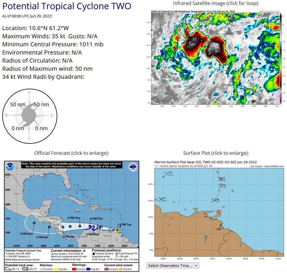
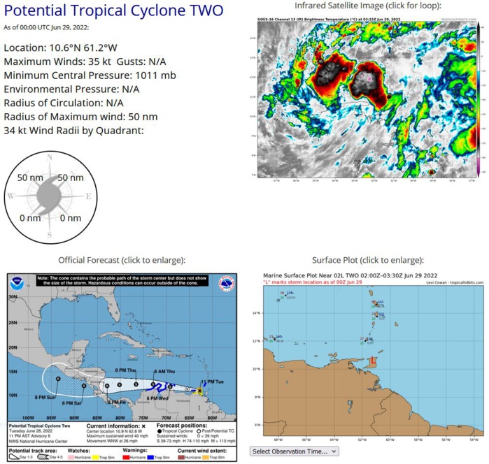
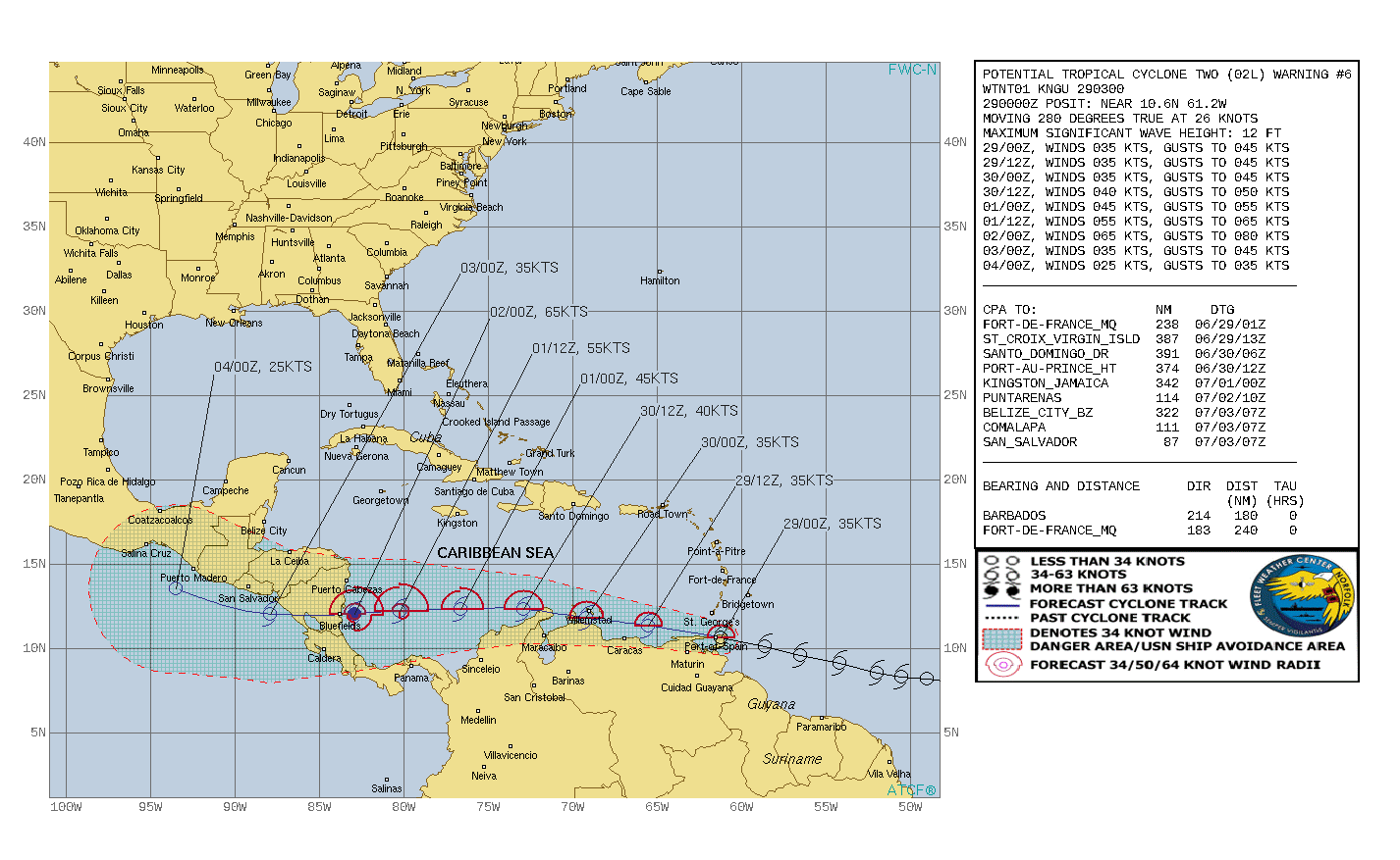
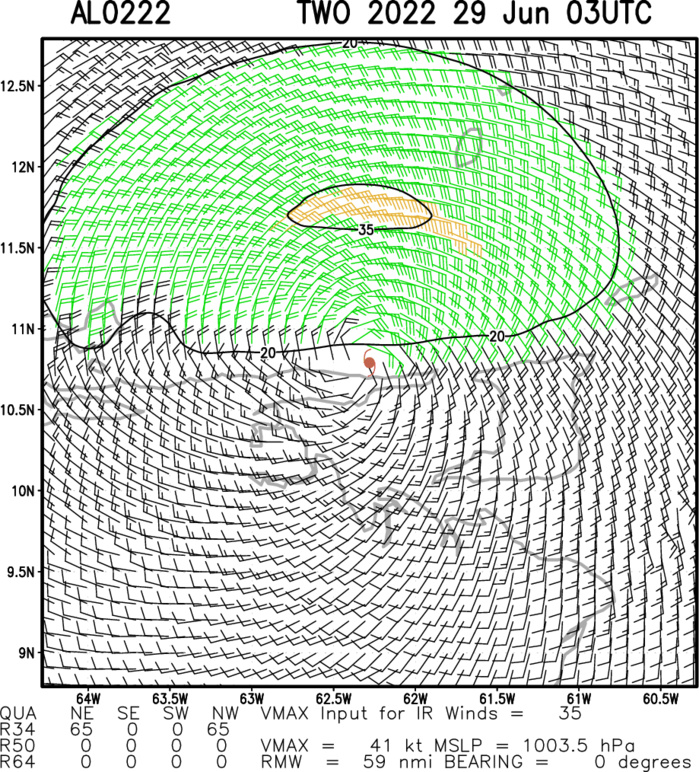
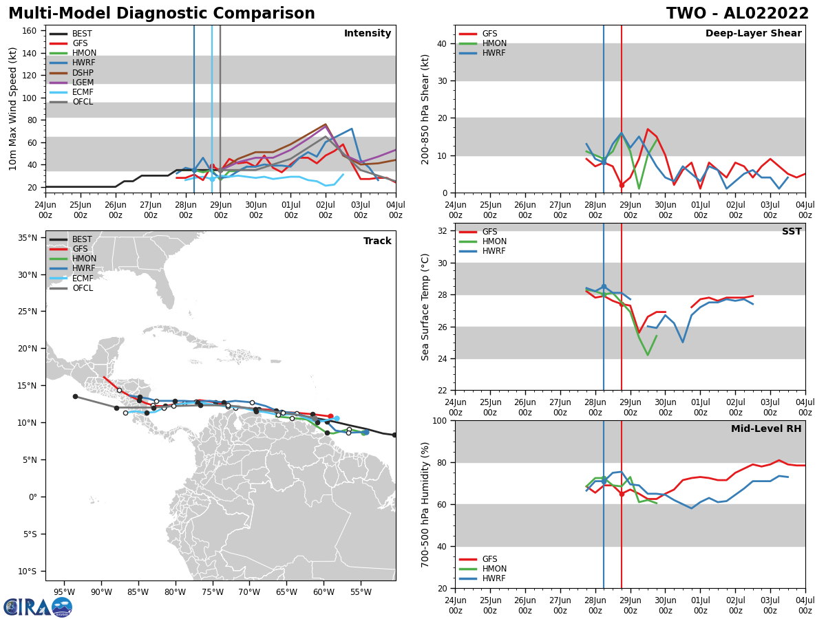
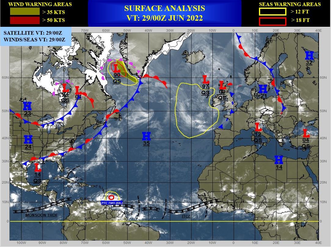
NORTH ATLANTIC/CARRIBEAN SEA: TC 02L. WARNING 6 ISSUED AT 29/03UTC. COMMENTS FROM NHC.
AL, 02, 2022062800,85N, 520W, 35, 1009
AL, 02, 2022062806,91N, 542W, 35, 1009
AL, 02, 2022062812,96N, 565W, 35, 1009
AL, 02, 2022062818,101N, 586W, 35, 1009
AL, 02, 2022062900,106N, 612W, 35, 1011
AL, 02, 2022062806,91N, 542W, 35, 1009
AL, 02, 2022062812,96N, 565W, 35, 1009
AL, 02, 2022062818,101N, 586W, 35, 1009
AL, 02, 2022062900,106N, 612W, 35, 1011

000 WTNT42 KNHC 290248 TCDAT2 Potential Tropical Cyclone Two Discussion Number 6 NWS National Hurricane Center Miami FL AL022022 1100 PM AST Tue Jun 28 2022 Satellite imagery suggests that the disturbance is slowly getting better organized, with gradually increasing convective banding in the northern semicircle. However, surface observations from Trinidad, Tobago, and Grenada indicate that the system has not yet developed a closed circulation. Therefore, it still has the status of a potential tropical cyclone. The initial intensity remains 35 kt based on the various surface observations. The disturbance is forecast to be in an environment of low shear and warm sea surface temperatures if it remains offshore, and this should lead the system to become a tropical cyclone in 12-24 hr. Strengthening is likely to be slow until the system moves away from the coast of South America after 36 h, at which time a faster development appears likely. The new intensity forecast is similar to the previous forecast and calls for the system to reach hurricane strength over the southwestern Caribbean Sea by the 72 h point. Later in the forecast period, the global models still suggest that the cyclone's low-level circulation will remain intact after crossing Central America and this is also shown by the NHC forecast. The system is moving a little faster with the initial motion now a somewhat uncertain 285/23 kt. A general westward motion near or just north of the coast of South America with some decrease in forward speed is expected during the next day or two due to the presence of a low- to mid-level ridge to the north. A south of west motion may occur for a time while the system is over the southwestern Caribbean Sea. The new forecast track is similar to the previous track is lies close to the various consensus models.
