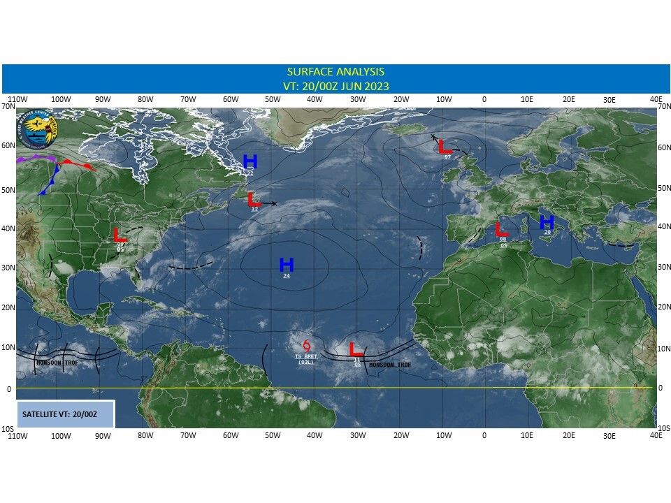
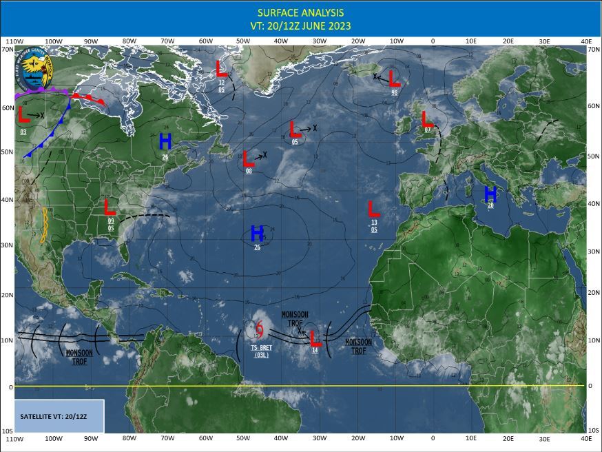
CLICK ON THE IMAGERIES BELOW TO GET THEM ENLARGED
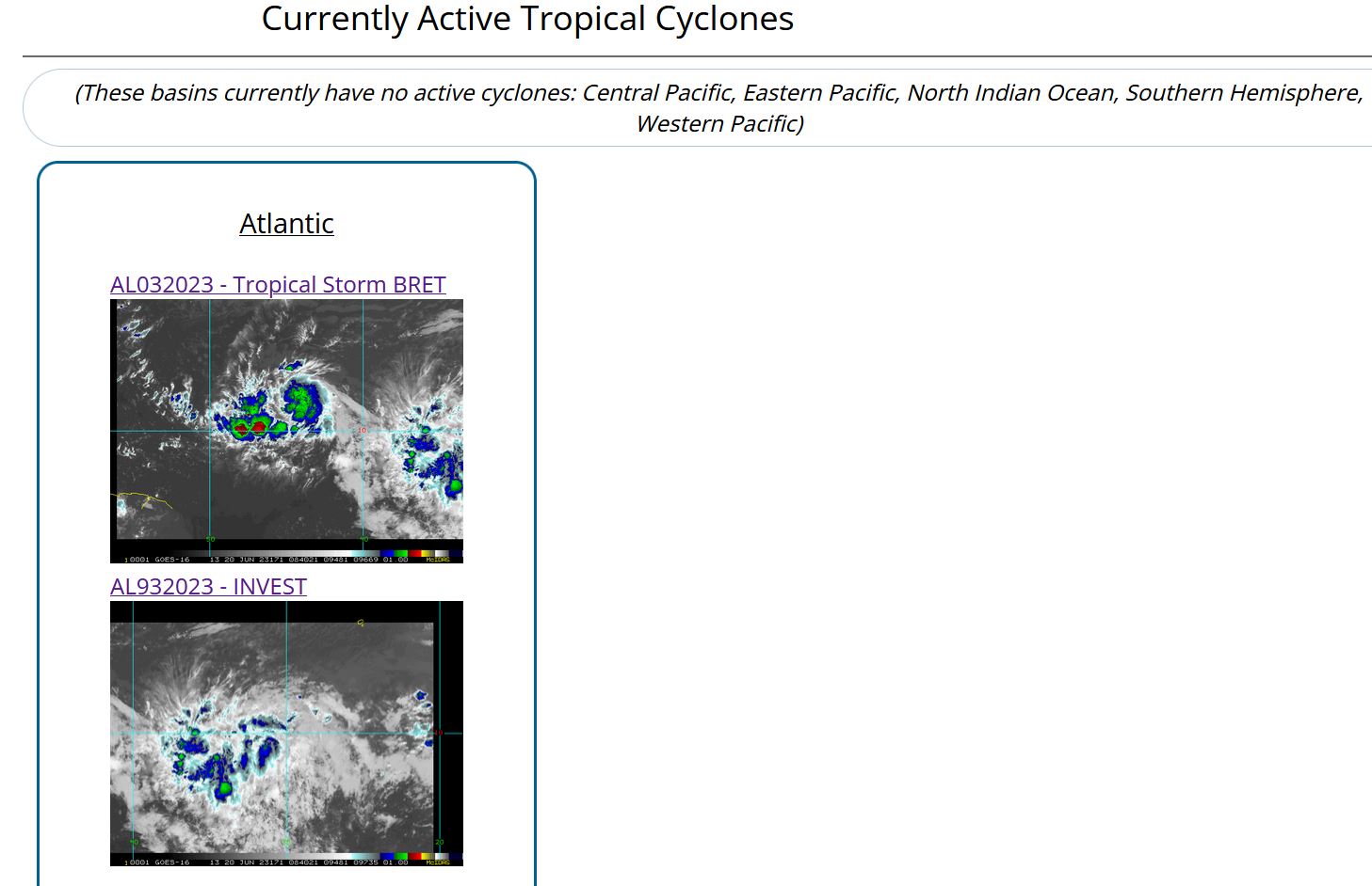
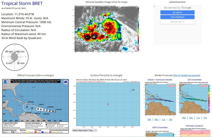
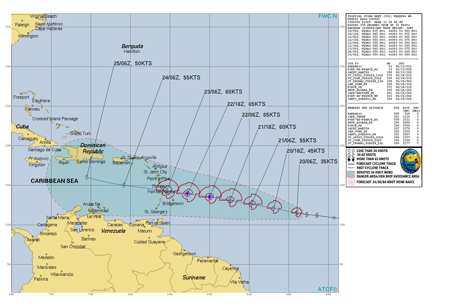
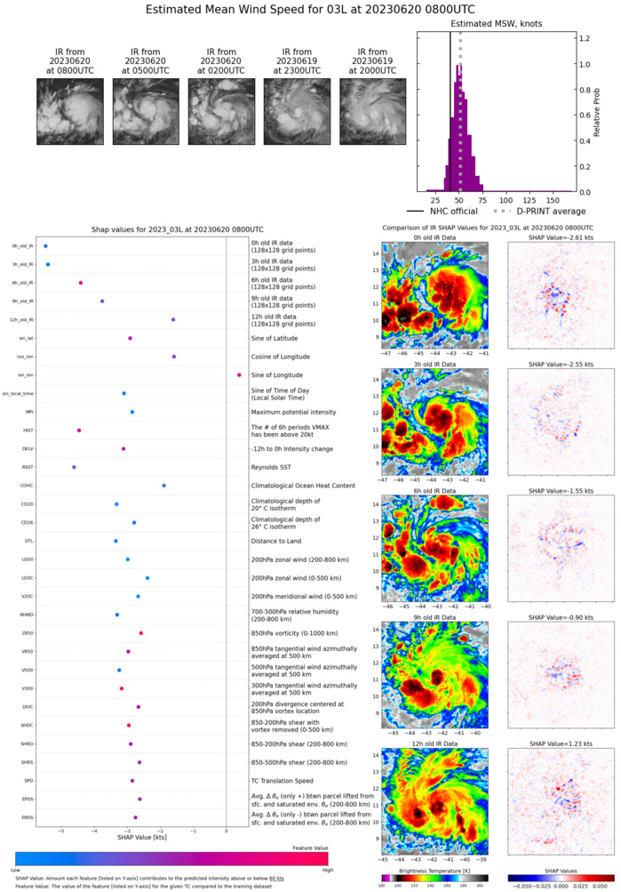
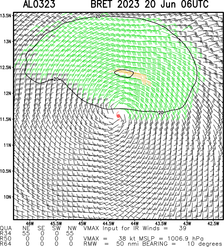
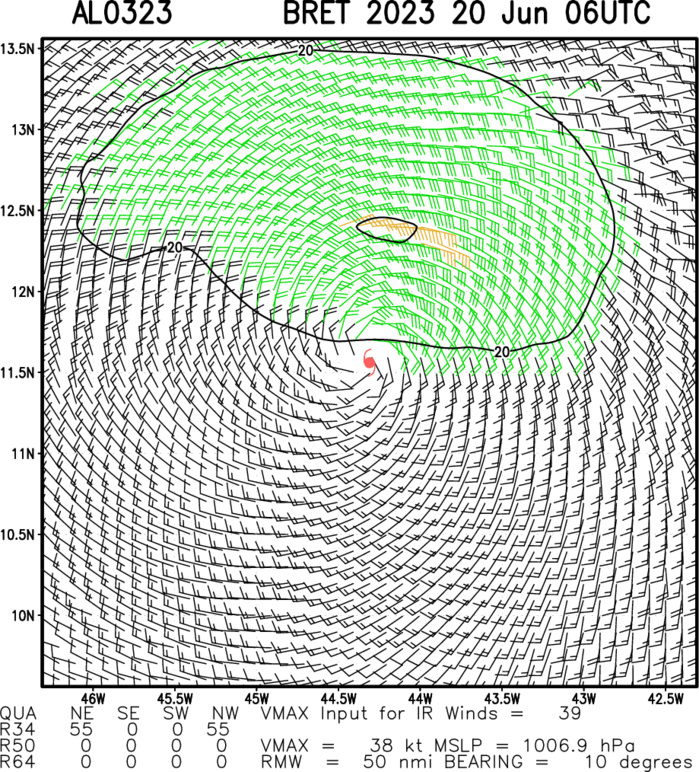
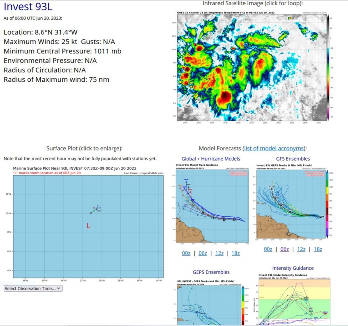
NORTH ATLANTIC: TS 03L(BRET). ESTIMATED LOCATION AND INTENSITY AT 200600UTC.
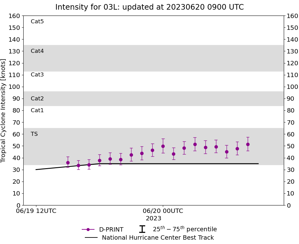
WARNING 4 ISSUED AT 200900UTC. CURRENT ESTIMATED INTENSITY IS 35 KNOTS AT 200600UTC: + 5 KNOTS OVER 24H.
0323061900 104N 357W 25
0323061906 107N 373W 30
0323061912 109N 393W 30
0323061918 112N 414W 35
0323062000 113N 427W 35
0323062006 115N 440W 35
0323061906 107N 373W 30
0323061912 109N 393W 30
0323061918 112N 414W 35
0323062000 113N 427W 35
0323062006 115N 440W 35
TC Warning Graphic AND NHC DISCUSSION

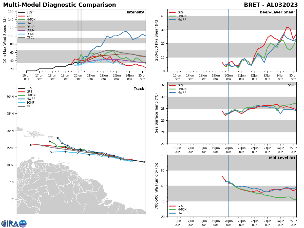
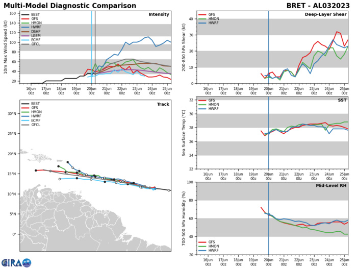
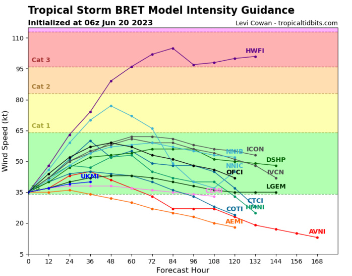
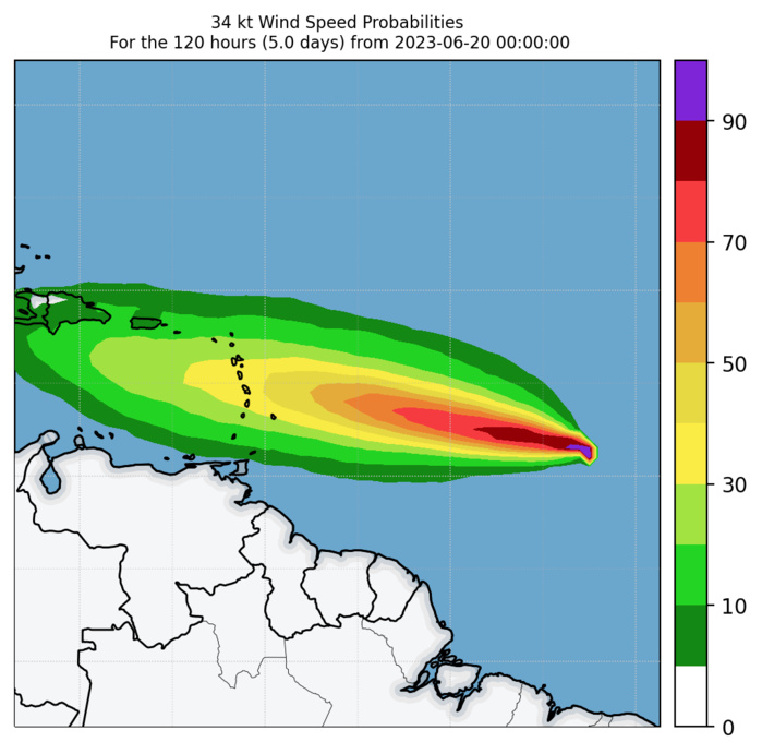
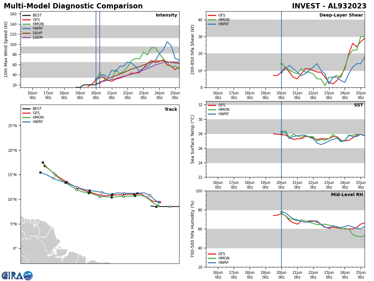
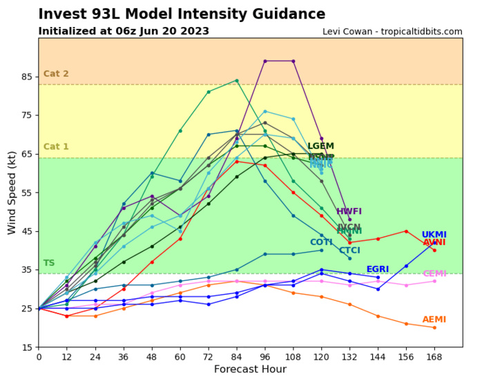
Tropical Storm Bret Discussion Number 4 NWS National Hurricane Center Miami FL AL032023 500 AM AST Tue Jun 20 2023 Although Bret remains a well-organized tropical cyclone on satellite imagery, its overall appearance has changed little since yesterday evening. The cloud pattern consists of a developing CDO with some banding features mainly over the eastern portion of the circulation. Cirrus motions show that the upper-level anticyclonic outflow pattern remains well-defined. Subjective Dvorak intensity estimates from TAFB and SAB remain at 35 kt, and objective ADT estimates from UW-CIMMS are also near this value. Therefore, the advisory intensity is held at 35 kt at this time. Bret continues to move slightly north of due west or at about 280/15 kt. A mid-level high pressure area is expected to remain positioned to the north of the tropical cyclone for the next few days. Thus, little change to the motion is likely through 72-96 hours. In the latter part of the forecast period, a mid-tropospheric trough near the Florida peninsula should cause the deep layer ridge to weaken somewhat. However, it is assumed that the cyclone will be weakening by that time and steered more by the low-level easterlies. There continues to be a significant spread in the 3-5 day track model guidance, probably due in large part to differences in the predicted intensity of Bret. The official track forecast is similar to the previous one except a little farther to the south near the end of the period. The simple and corrected consensus model solutions are even farther to the south. Both the atmospheric and oceanic environment look conducive for strengthening during the next couple of days with low shear and abnormally warm ocean waters. Therefore, the forecast continues to call for Bret to become a hurricane in a couple of days. By 72 hours, however, vertical shear is predicted to increase in association with an upper-level trough over the eastern Caribbean and drier mid-level air should begin to get entrained into the system. This will likely cause a weakening trend to commence after Bret moves into the Caribbean as suggested by the global models. The official intensity forecast is similar to the previous NHC prediction and is above the model consensus and the SHIPS/LGEM guidance. KEY MESSAGES: 1. Bret is forecast to initially strengthen and then move across the Lesser Antilles near hurricane intensity on Thursday and Friday, bringing a risk of flooding from heavy rainfall, strong winds, and dangerous storm surge and waves. 2. Given the larger than usual uncertainty in the track forecast, it is too early to specify the location and magnitude of where these hazards could occur. However, everyone in the Lesser Antilles, Puerto Rico, and the Virgin Islands should closely monitor updates to the forecast for Bret and have their hurricane plan in place.


