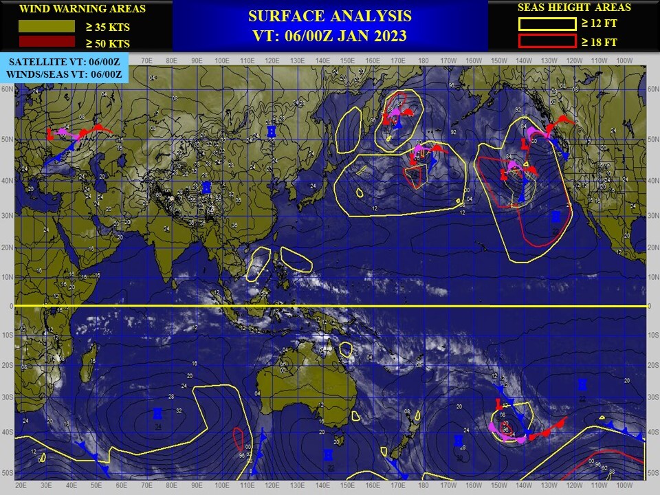
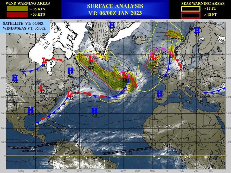
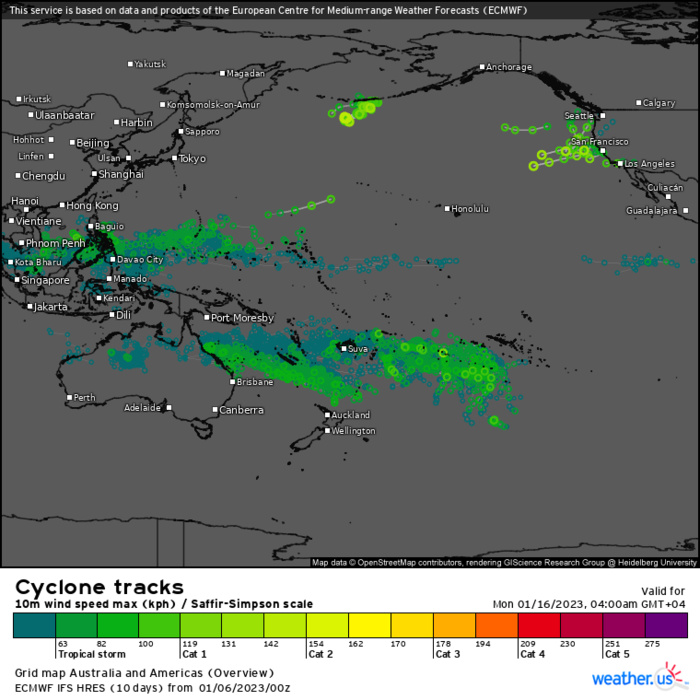
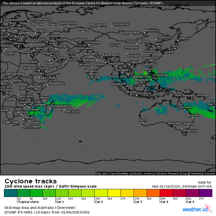
CLICK ON THE IMAGERIES BELOW TO GET THEM ENLARGED
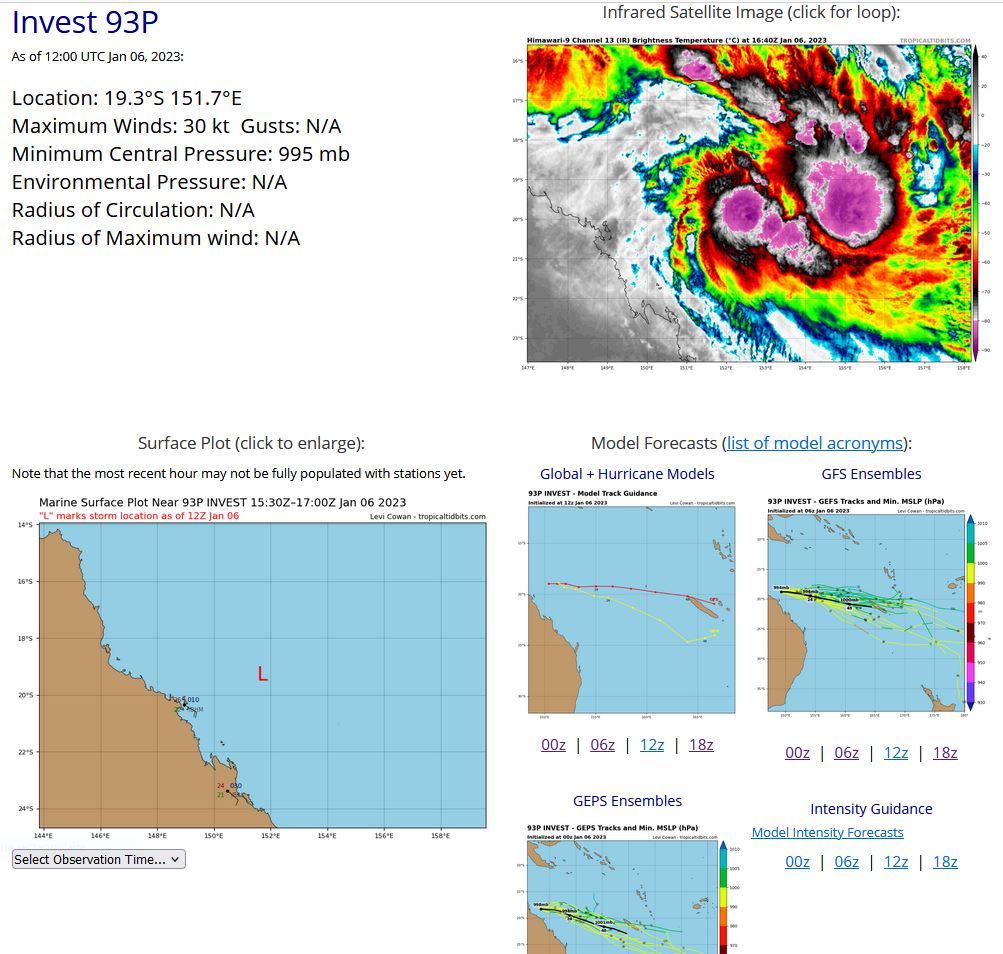
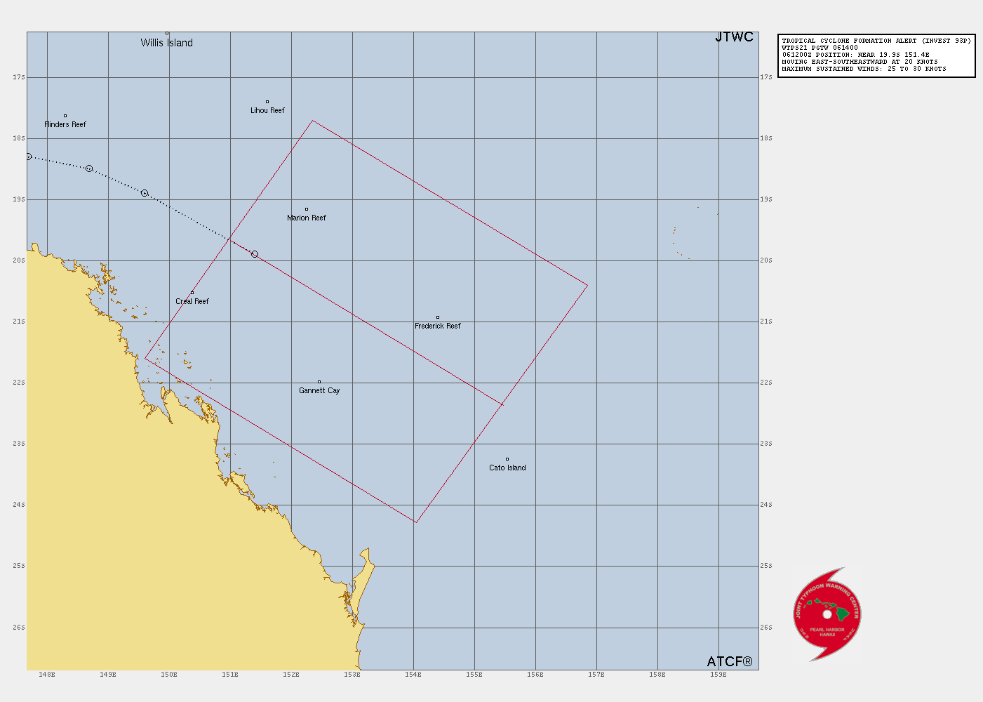
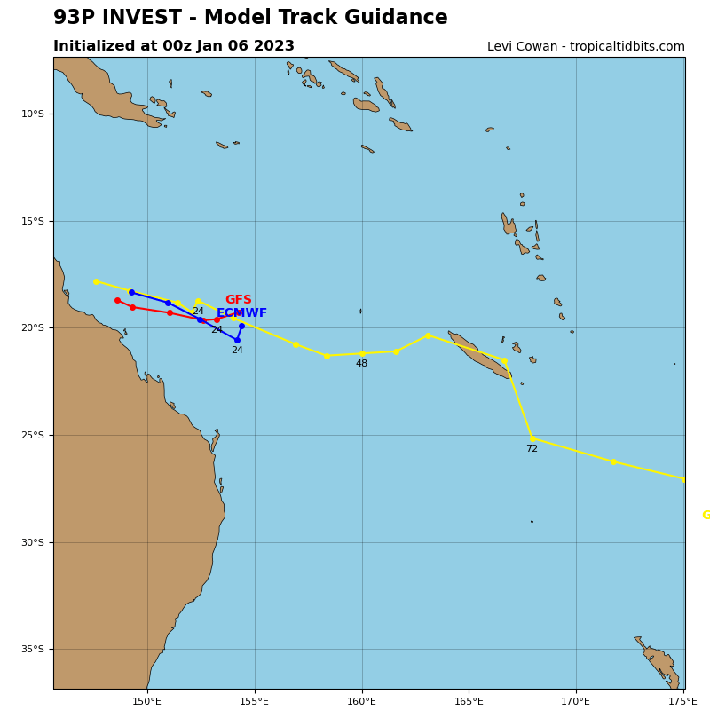
SOUTH PACIFIC OCEAN: INVEST 93P. ESTIMATED LOCATION AND INTENSITY AT 06/12UTC.
SH, 93, 2023010500,182S, 1433E, 15, 999, DB
SH, 93, 2023010506,181S, 1446E, 20, 998, DB
SH, 93, 2023010512,180S, 1460E, 20, 998, DB
SH, 93, 2023010518,183S, 1477E, 25, 998, TD
SH, 93, 2023010600,185S, 1487E, 25, 998, TD
SH, 93, 2023010606,189S, 1496E, 25, 998, TD
SH, 93, 2023010612,199S, 1514E, 30, 995, TD
SH, 93, 2023010506,181S, 1446E, 20, 998, DB
SH, 93, 2023010512,180S, 1460E, 20, 998, DB
SH, 93, 2023010518,183S, 1477E, 25, 998, TD
SH, 93, 2023010600,185S, 1487E, 25, 998, TD
SH, 93, 2023010606,189S, 1496E, 25, 998, TD
SH, 93, 2023010612,199S, 1514E, 30, 995, TD
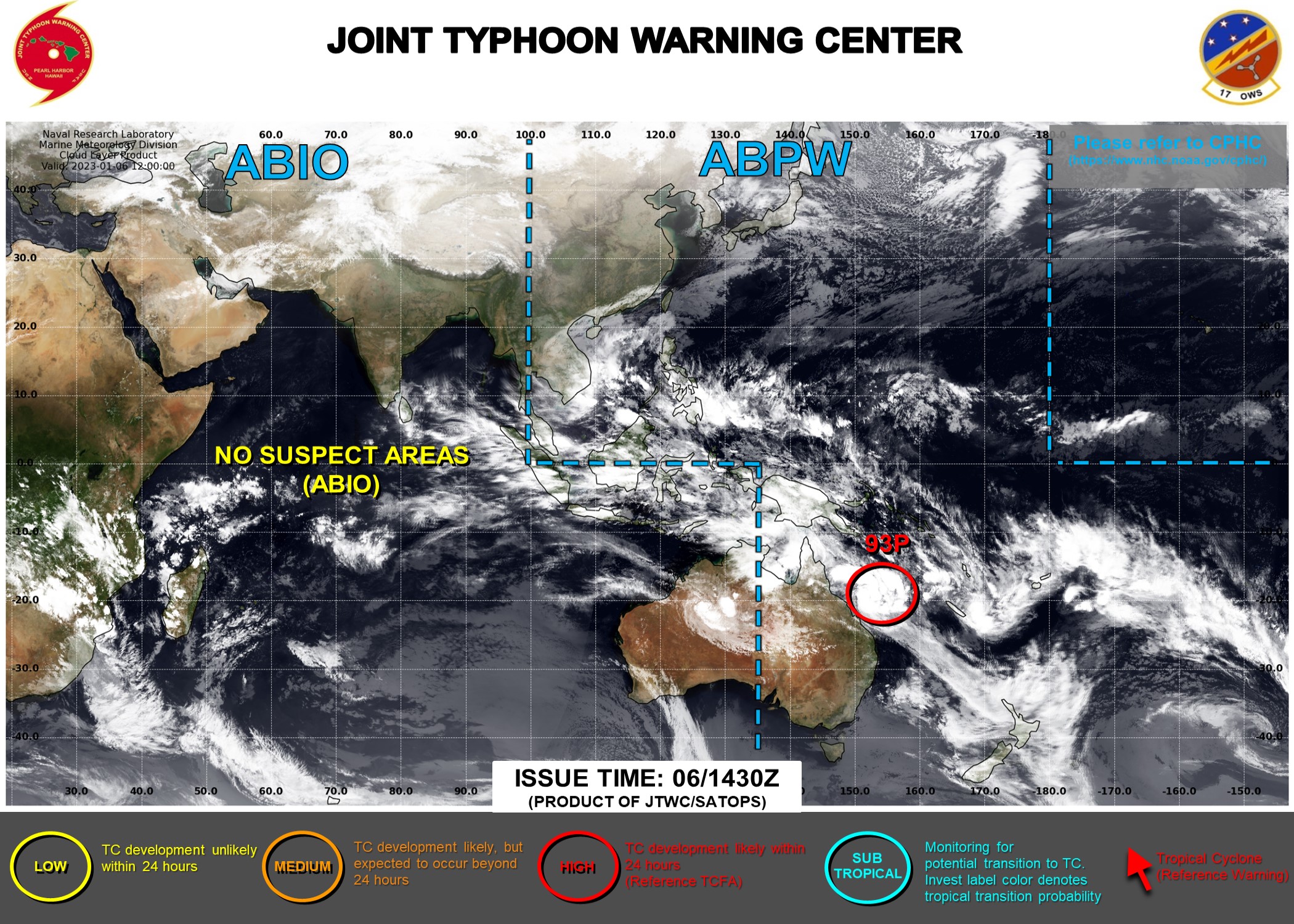
TROPICAL CYCLONE FORMATION ALERT ISSUED AT 06/1430UTC.

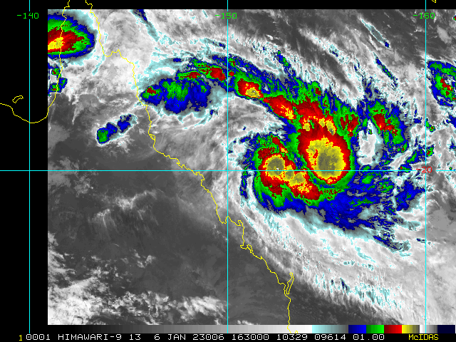
THE AREA OF CONVECTION (INVEST 93P) PREVIOUSLY LOCATED NEAR 18.9S 149.6E IS NOW LOCATED NEAR 19.9S 151.4E, APPROXIMATELY 308 NM NORTHWEST OF CATO ISLAND, AUSTRALIA. ENHANCED INFRARED SATELLITE IMAGERY DEPICTS BROAD, FRAGMENTED BUT CONSOLIDATING CONVECTIVE BAND WRAPPING INTO THE LEVEL CIRCULATION (LLC) THAT IS EMBEDDED ALONG THE MONSOON TROUGH. ENVIRONMENTAL ANALYSIS INDICATE THAT 93P IS IN A MARGINALLY FAVORABLE ENVIRONMENT WITH STRONG POLEWARD OUTFLOW ALOFT AND WARM (28C) SEA SURFACE TEMPERATURE OFFSET BY MEDIUM TO HIGH (20-25KT) VERTICAL WIND SHEAR. GLOBAL MODELS ARE IN GOOD AGREEMENT THAT 93P WILL TRACK SOUTHEASTWARD AND GRADUALLY INTENSIFY OVER THE NEXT 12-48 HOURS. MAXIMUM SUSTAINED SURFACE WINDS ARE ESTIMATED AT 25 TO 30 KNOTS. MINIMUM SEA LEVEL PRESSURE IS ESTIMATED TO BE NEAR 995 MB. THE POTENTIAL FOR THE DEVELOPMENT OF A SIGNIFICANT TROPICAL CYCLONE WITHIN THE NEXT 24 HOURS IS UPGRADED TO HIGH.
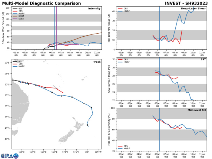
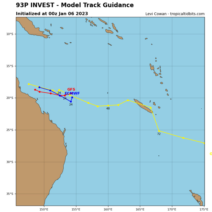
GLOBAL MODELS ARE IN GOOD AGREEMENT THAT 93P WILL TRACK SOUTHEASTWARD AND GRADUALLY INTENSIFY OVER THE NEXT 12-48 HOURS.
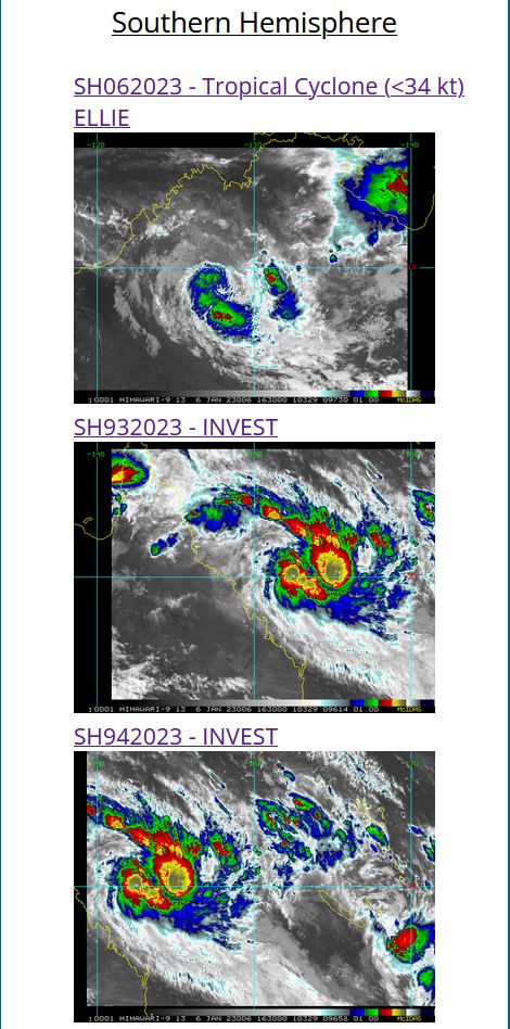
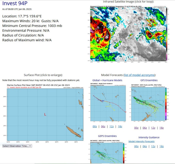
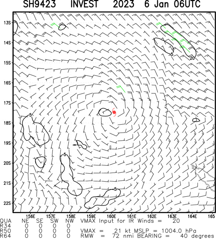
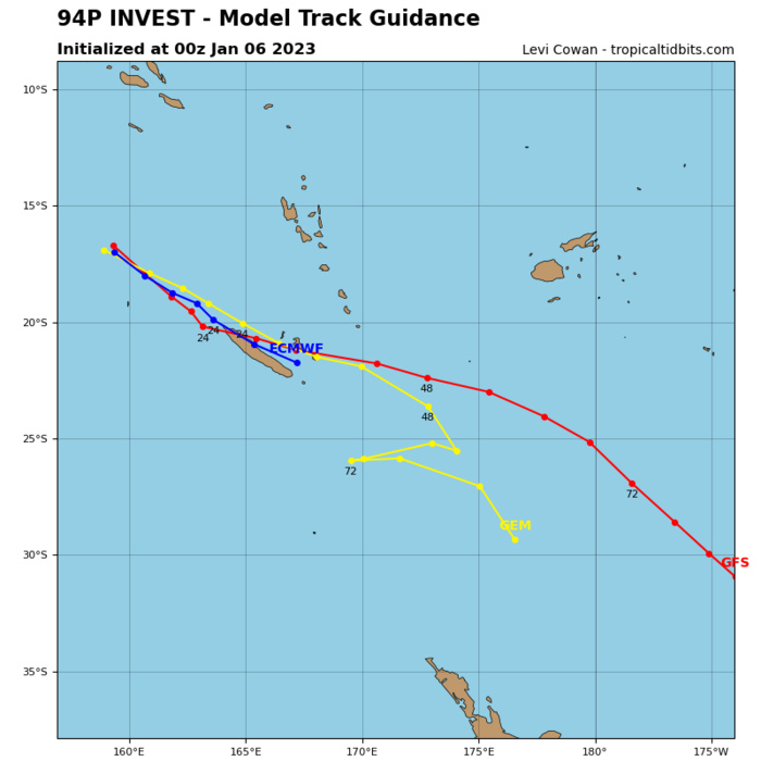
SOUTH PACIFIC OCEAN: INVEST 94P. ESTIMATED LOCATION AND INTENSITY AT 06/06UTC.
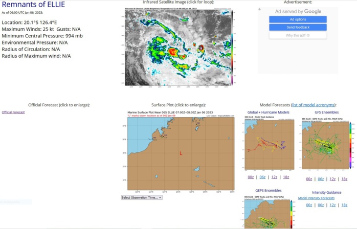
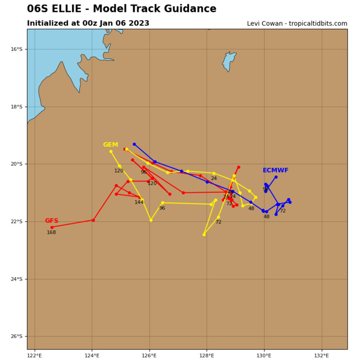
SOUTH INDIAN OCEAN: OVER-LAND REMNANTS OF TC 06S(ELLIE). ESTIMATED LOCATION AND INTENSITY AT 06/06UTC.
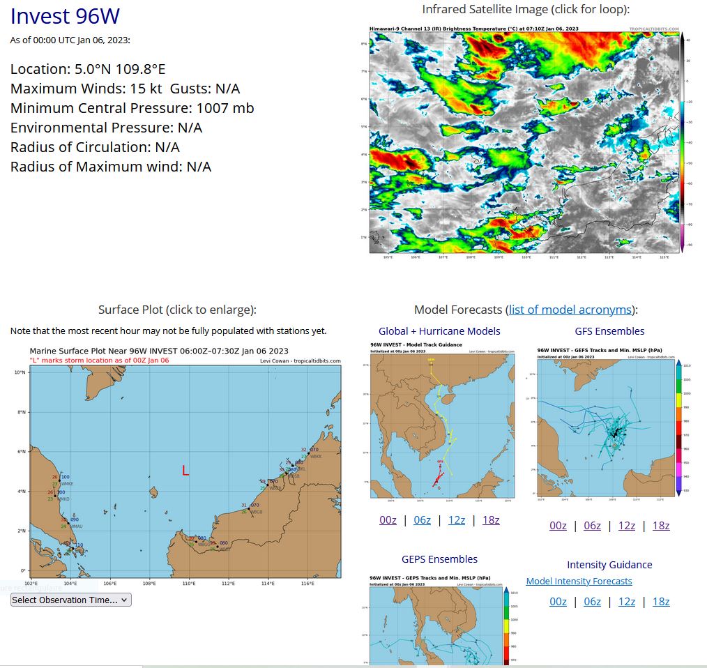
WESTERN NORTH PACIFIC: INVEST 96W. ESTIMATED LOCATION AND INTENSITY AT 06/00UTC.
WP, 96, 2023010506,45N, 1126E, 15, 1007, DB
WP, 96, 2023010512,46N, 1113E, 15, 1007, DB
WP, 96, 2023010518,47N, 1105E, 15, 1007, DB
WP, 96, 2023010600,50N, 1098E, 15, 1007, DB
WP, 96, 2023010512,46N, 1113E, 15, 1007, DB
WP, 96, 2023010518,47N, 1105E, 15, 1007, DB
WP, 96, 2023010600,50N, 1098E, 15, 1007, DB
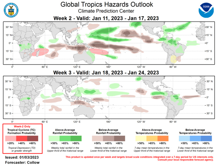
Last Updated - 01/03/23 Valid - 01/11/23 - 01/24/23 An active MJO signal is noted across the western Pacific. Despite some interference with enhanced Rossby Wave activity, eastward propagation of the intraseasonal signal is evident with the MJO beginning to destructively interfere with the La Nina base state. Dynamical models are in strong agreement regarding continued eastward propagation of the enhanced convective envelope into the Western Hemisphere. The ECMWF ensemble is faster with the propagation compared to the GEFS, showing the intraseasonal signal reaching the Indian Ocean during week-3 in its ensemble mean. While MJO propagation into phases 8 and 1 may ultimately favor a relatively cooler pattern to develop across much of the continental U.S., the dynamical models continue to persist above normal temperatures across the country through at least mid-January. No new tropical cyclones (TCs) formed across the globe during the past week. As the MJO propagates across the Pacific during the next week, TC formation is increasingly possible in the Southern Hemisphere to the north of Australia. By late week-1 and into week-2, the highest chances of TC formation are predicted to shift further east to the southwest Pacific, although increasing upper-level convergence associated with the suppressed phase of the MJO is likely to decrease TC development chances after about day-10. Therefore, only a slight risk (20% chance) for TC development is indicated across the Coral Sea extending through Vanuatu for week-2. While there are some weak signals for TC development across the western North Pacific, climatology and the incoming suppressed convective envelope preclude having a designated formation hazard across the basin. Depending on the phase speed of the convective envelope, enhanced convection may begin to reach the western Indian Ocean by the end of week-2. This supports the inclusion of another slight risk (20% chance) for TC formation area near and extending east of Madagascar during week-2. Chances for above-normal rainfall are forecast to increase across much of the North Pacific due to the MJO destructively interfering with La Nina, with elevated chances for below-normal rainfall shifting south of the equator. The South Pacific Convergence Zone is forecast to become more active during the next week leading to above normal rainfall over parts of the Southwest Pacific. Enhanced atmospheric river activity is forecast to continue to elevate chances of above-normal rainfall across the northeast Pacific and west coast of the contiguous U.S. By week-3, the suppressed phase of the MJO is forecast to reach the Pacific, reducing the chances of above-normal rainfall compared to week-2, with predominantly weak signals in the guidance regarding elevated above- and below-normal rainfall probabilities. Above-normal temperatures are likely across Northern Argentina, Paraguay, Uruguay, and southern Brazil, especially early in the week-2 period, with some areas having maximum temperatures exceed 95 deg F.
