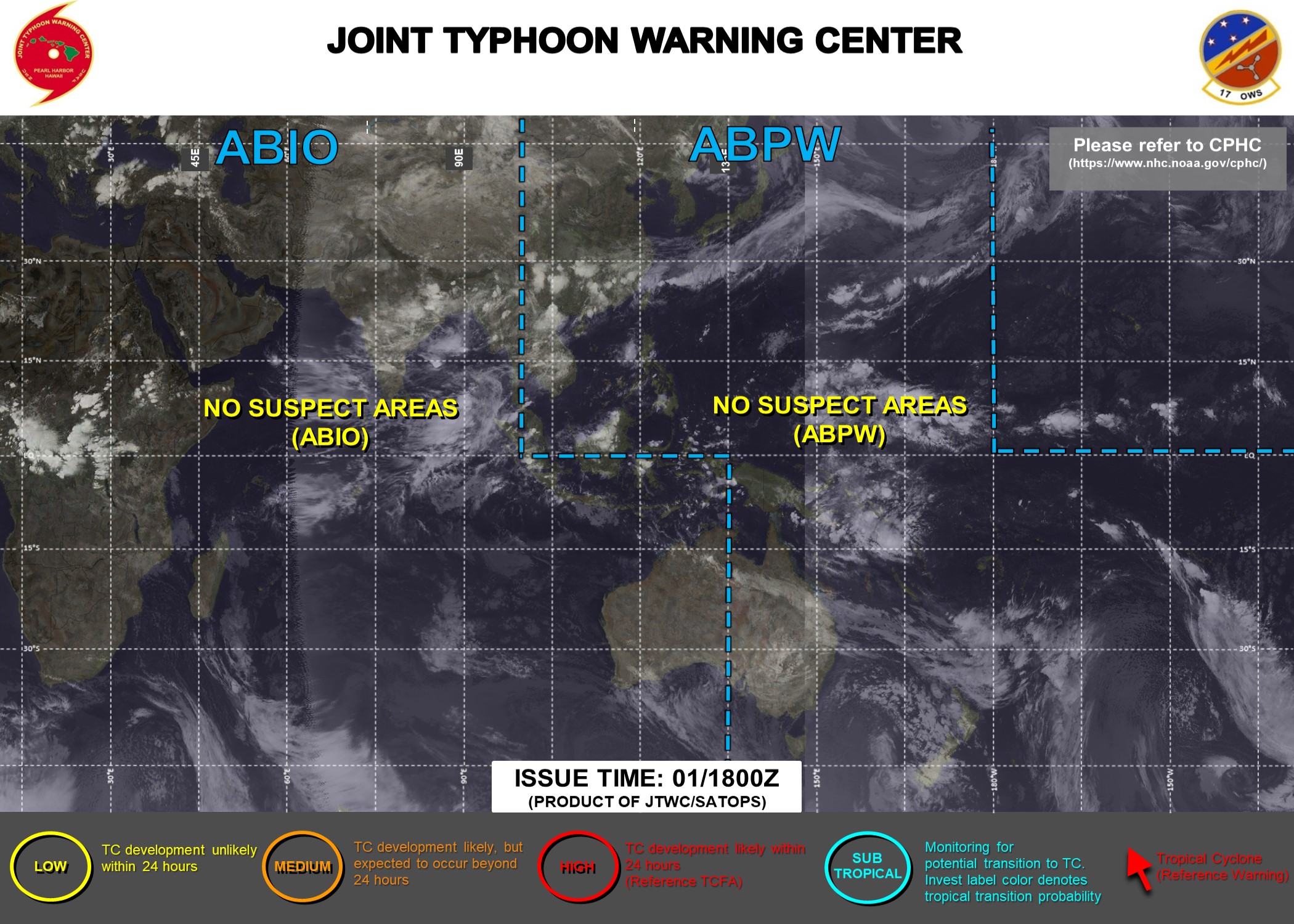
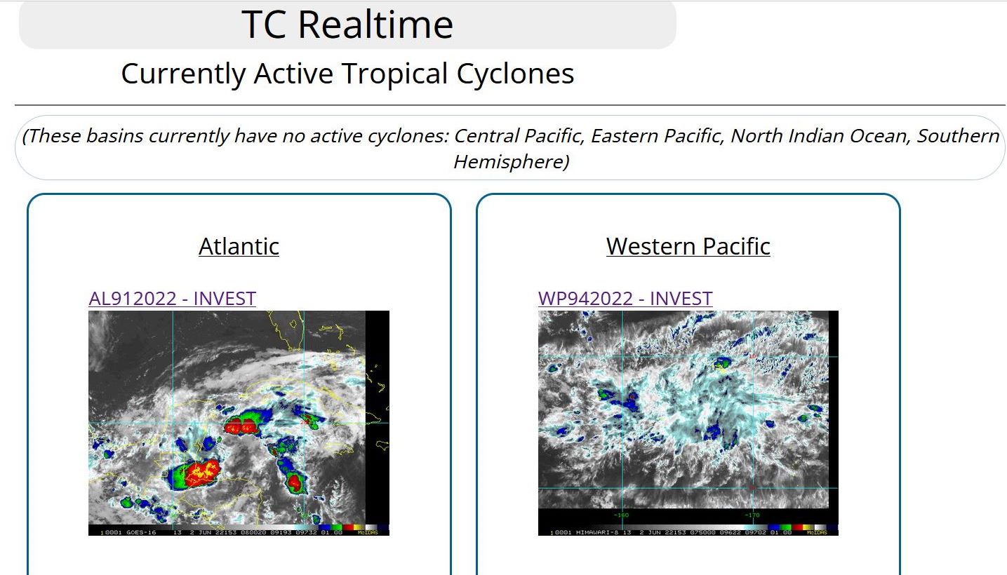
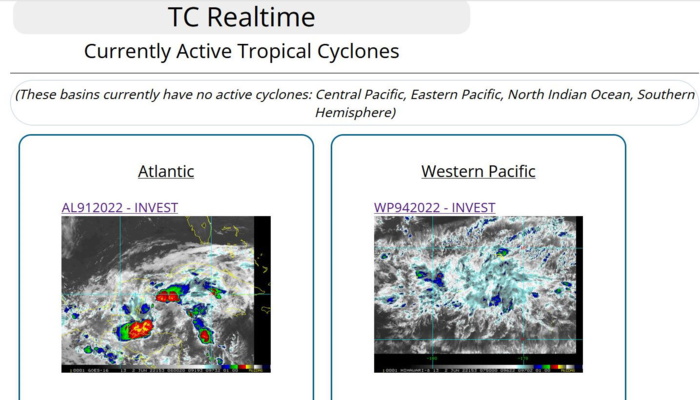
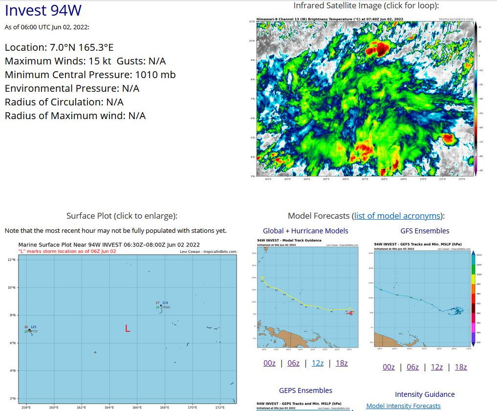
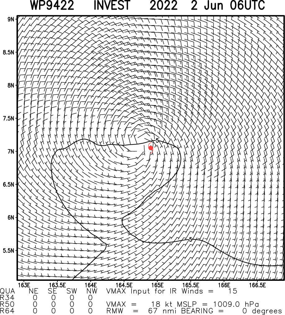
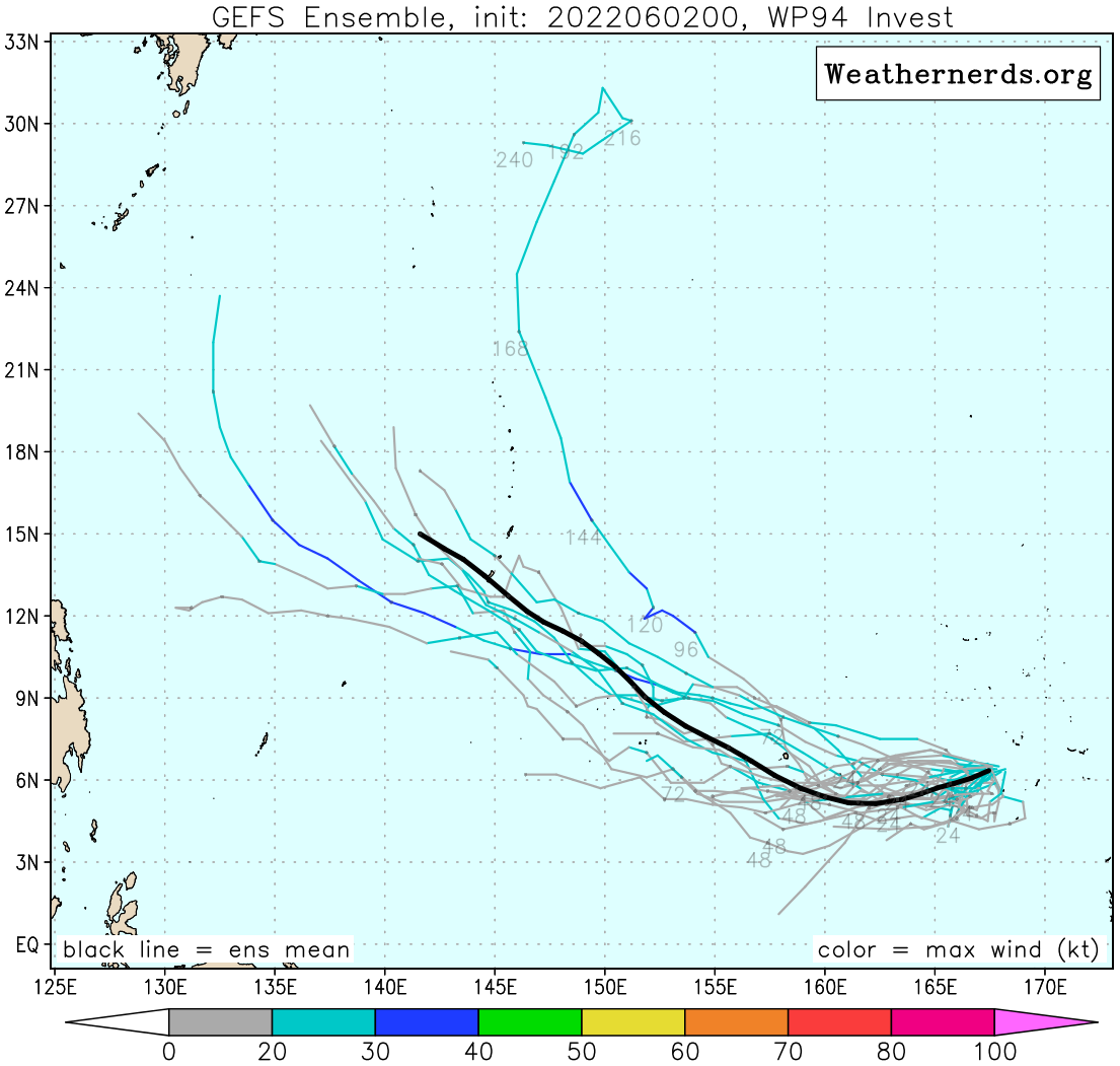
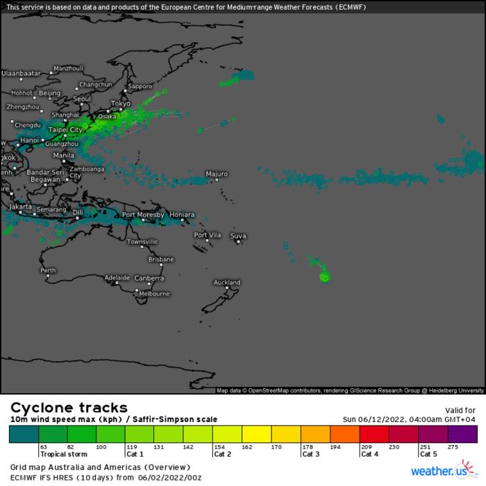
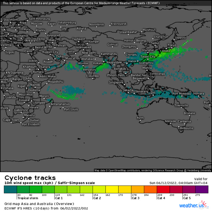
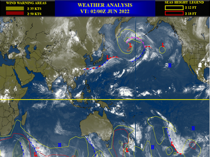
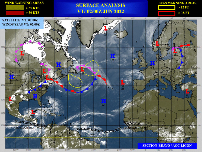
WESTERN NORTH PACIFIC OCEAN: INVEST 94W. LOCATION AND MAXIMUM WINDS ESTIMATED AT 02/06UTC. NO SIGNIFICANT DEVELOPMENT EXPECTED WITHIN THE NEXT 24H AT THE MOMENT. CLICK ON THE IMAGERIES BELOW TO GET THEM ENLARGED.
WP, 94, 2022060112,69N, 1712E, 15
WP, 94, 2022060118,70N, 1692E, 15
WP, 94, 2022060200,70N, 1670E, 15
WP, 94, 2022060206,70N, 1653E, 15
WP, 94, 2022060118,70N, 1692E, 15
WP, 94, 2022060200,70N, 1670E, 15
WP, 94, 2022060206,70N, 1653E, 15
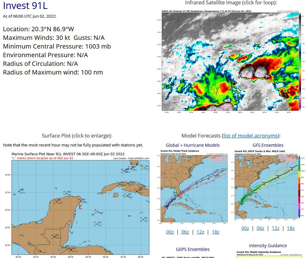
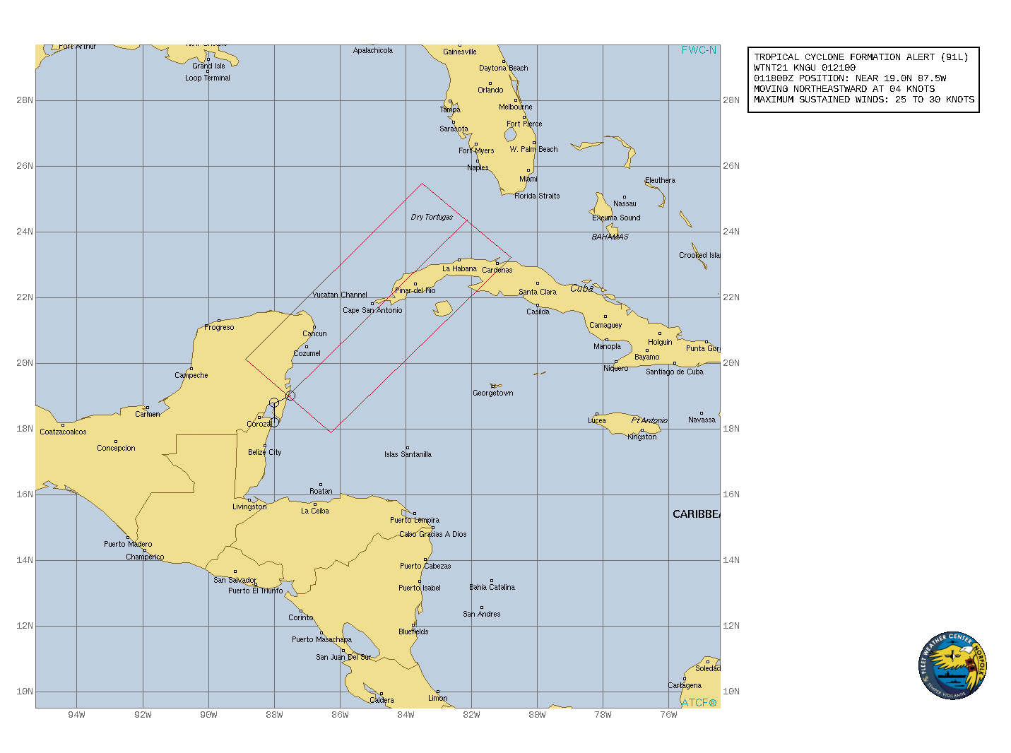
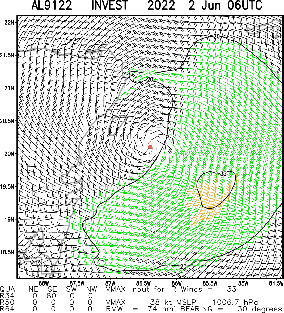
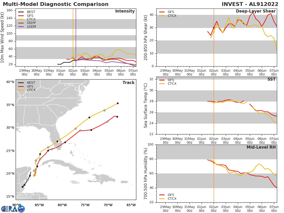
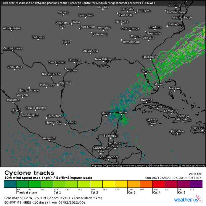
NORTH ATLANTIC OCEAN/YUCATAN CHANNEL: INVEST 91L. LOCATION AND MAXIMUM WINDS ESTIMATED AT 02/06UTC. TROICAL CYCLONE FORMATION ALERT ISSUED AT 01/21UTC.CLICK ON THE IMAGERIES BELOW TO GET THEM ENLARGED.
AL, 91, 2022053118,172N, 887W, 20
AL, 91, 2022060100,176N, 883W, 20
AL, 91, 2022060106,181N, 879W, 25
AL, 91, 2022060112,186N, 876W, 25
AL, 91, 2022060118,191N, 873W, 25
AL, 91, 2022060200,196N, 871W, 30
AL, 91, 2022060206,203N, 869W, 30
AL, 91, 2022060100,176N, 883W, 20
AL, 91, 2022060106,181N, 879W, 25
AL, 91, 2022060112,186N, 876W, 25
AL, 91, 2022060118,191N, 873W, 25
AL, 91, 2022060200,196N, 871W, 30
AL, 91, 2022060206,203N, 869W, 30
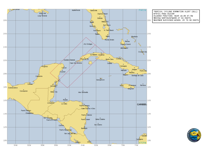
WTNT21 KNGU 012100 SUBJ/TROPICAL CYCLONE FORMATION ALERT (91L)// RMKS/ 1. FORMATION OF A TROPICAL CYCLONE IS POSSIBLE WITHIN 185 KM EITHER SIDE OF A LINE FROM 19.0N 87.6W TO 24.4N 82.1W WITHIN THE NEXT 24 HOURS. AVAILABLE DATA DOES NOT JUSTIFY ISSUANCE OF NUMBERED TROPICAL CYCLONE WARNINGS AT THIS TIME. WINDS IN THE AREA ARE ESTIMATED TO BE 25 TO 30 KNOTS. METSAT IMAGERY AT 011800Z INDICATES THAT A CIRCULATION CENTER IS LOCATED NEAR 19.0N 87.5W. THE SYSTEM IS MOVING NORTHEASTWARD AT 07 KM/H. 2. THE POTENTIAL FOR THE DEVELOPMENT OF A SIGNIFICANT TROPICAL CYCLONE WITHIN THE NEXT 24 HOURS IS HIGH. AN ELONGATED (WEST TO EAST) AREA OF LOW PRESSURE, LOCATED NEAR THE EAST COAST OF THE YUCATAN PENINSULA, IS PRODUCING A LARGE AREA OF DISORGANIZED SHOWERS AND THUNDERSTORMS OVER THE NORTHWESTERN CARRIBBEAN SEA AND THE YUCATAN CHANNEL. SUSTAINED EASTERLY WINDS OF 25-30 KTS RESIDE IN THE NORTHEASTERN PERIPHERY OF THE BROAD SURFACE CIRCULATION. ALTHOUGH STRONG UPPER-LEVEL WINDS ARE FORECAST TO INHIBIT SIGNIFICANT DEVELOPMENT, A TROPICAL DEPRESSION IS LIKELY TO FORM DURING THE NEXT 24 HOURS WHILE IT MOVES NORTHEASTWARD OVER THE YUCATAN CHANNEL AND INTO THE SOUTHEASTERN GULF OF MEXICO. 3.THIS ALERT WILL BE REISSUED, UPGRADED TO WARNING OR CANCELLED BY 022100Z.//
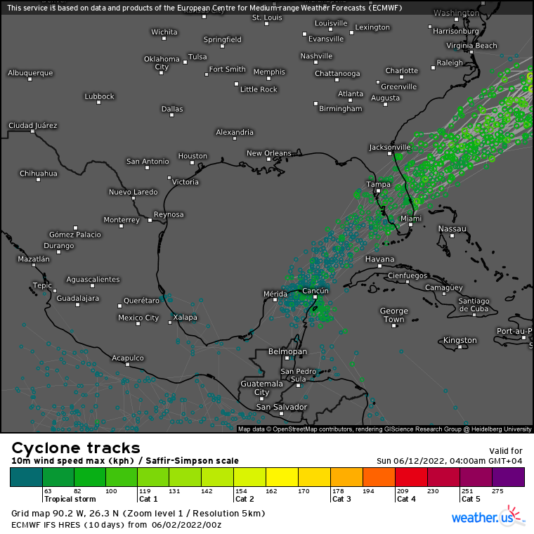
ECMWF ENSEMBLE AT 02/00UTC UP TO +240H.
ECMWF ENSEMBLE AT 02/00UTC UP TO +240H.
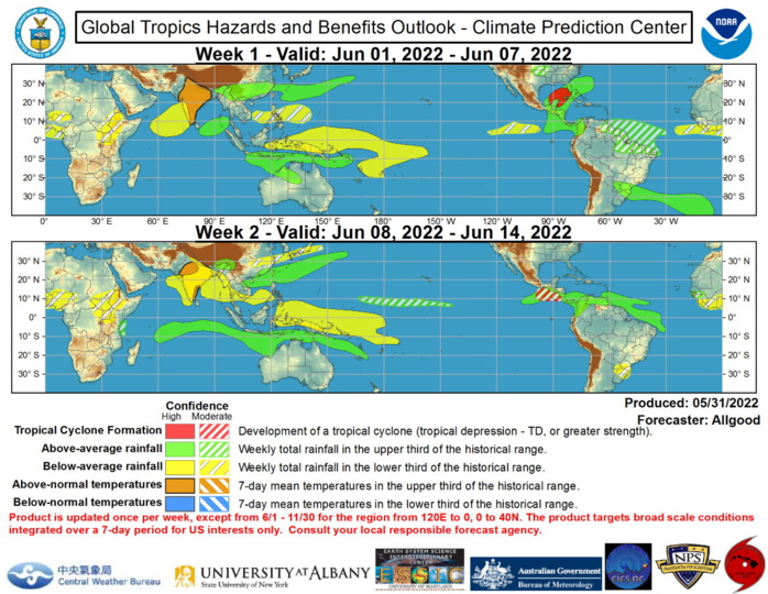
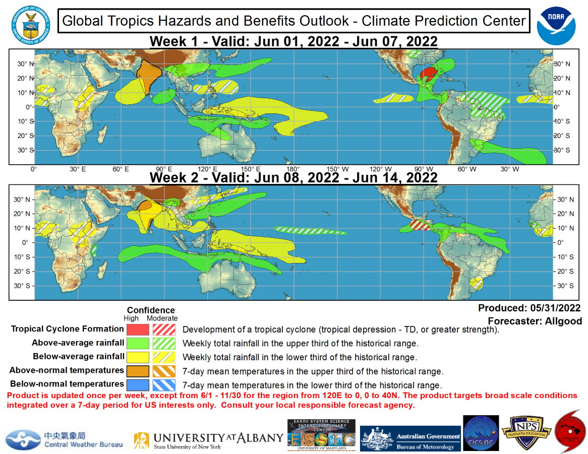
Global Tropics Hazards and Benefits Outlook Discussion Last Updated: 05.31.22 Valid: 06.01.22 - 06.14.22 The CPC upper-level velocity potential based Madden-Julian Oscillation (MJO) index and the RMM-based MJO index have both exhibited high amplitude and eastward propagation over the past several days, suggestive of an enhanced intraseasonal convective envelope over the West Pacific. Time-longitude analyses of various atmospheric variables reveal a coherent series of strong Kelvin waves that have been circumnavigating the globe during most of May. Recently, a strong convectively coupled Kelvin wave that crossed the Pacific during mid-May, and helped spark the development of Hurricane Agatha over the East Pacific, crossed the Western Hemisphere and has now returned to the West Pacific. Constructive interference among this feature, weak Rossby wave activity, and the low frequency La Nina response has resulted in a broad region of enhanced divergence aloft, with a Wave-1 pattern globally that aliases well with MJO events. More recently, the Kelvin wave has begun to separate from the standing enhanced signal over the Maritime Continent as it traverses the Pacific. Dynamical model MJO index forecasts depict a fairly fast progression across the Pacific, with enhanced convection returning to the East Pacific and Western Hemisphere, where both the GEFS and ECMWF suggest a slowdown of the signal. This slowdown may be due to Kelvin wave activity promoting an enhancement of the Central American Gyre (CAG), as well as model forecasted tropical cyclone activity over both the western Atlantic and eastern Pacific basins. Other climate signals are impacting the overall pattern as well, including a well-defined Meiyu Front extending from eastern Asia into the northwestern Pacific, and a delayed monsoon onset over South Asia promoting dryness and excessive heat. One tropical cyclone (TC) formed during the past week. Hurricane Agatha formed on 28 May over the East Pacific, and strengthened to Category-2 intensity on the Saffir-Simpson scale before making landfall near Puerto Angel in southern Mexico. Hurricane Agatha was the earliest Category-2 TC to strike Mexico's Pacific coast. Looking ahead, there is a moderate to high potential for tropical cyclogenesis over the Gulf of Mexico or far western Caribbean in association with the CAG and the remnants of Hurricane Agatha. The National Hurricane Center (NHC) currently has a 70-percent chance of tropical depression formation over the next 5 days. Dynamical model forecasts show a general northeastward track of any system that develops in this region, which could bring tropical cyclone related impacts to Florida or other parts of the U.S. Southeast. During Week-2, additional KW activity and the enhanced CAG may promote new TC development over the East Pacific, with dynamical models favoring development over the far eastern part of the basin, near where Hurricane Agatha made landfall. Elsewhere, tropical cyclone development potential is fairly low, though brief cyclogenesis from Mesoscale Convective Systems (MCS) activity along the Meiyu front is possible, though any such system would be brief and rapidly move northeastward over the northwestern Pacific. The precipitation outlook for the next two weeks is based on a consensus of dynamical model forecasts, the ongoing La Nina response, Kelvin wave activity, and ongoing CAG and Meiyu front activity. Enhanced convection over the next two weeks will be primarily off-equator across the Maritime Continent, with late season enhanced precipitation across northern Australia, and widespread heavy rainfall along the Meiyu front across parts of East Asia, the northern Philippines, and Taiwan, and suppressed rainfall to the north and south of this feature. A delayed monsoon onset across South Asia remains favored, with areas of dryness and extreme temperatures likely across portions of India. Across the CONUS, potential tropical cyclone activity may bring excessive rainfall to portions of Florida and the extreme coastal Carolinas.
