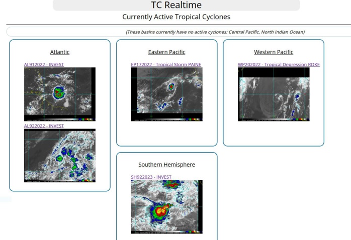
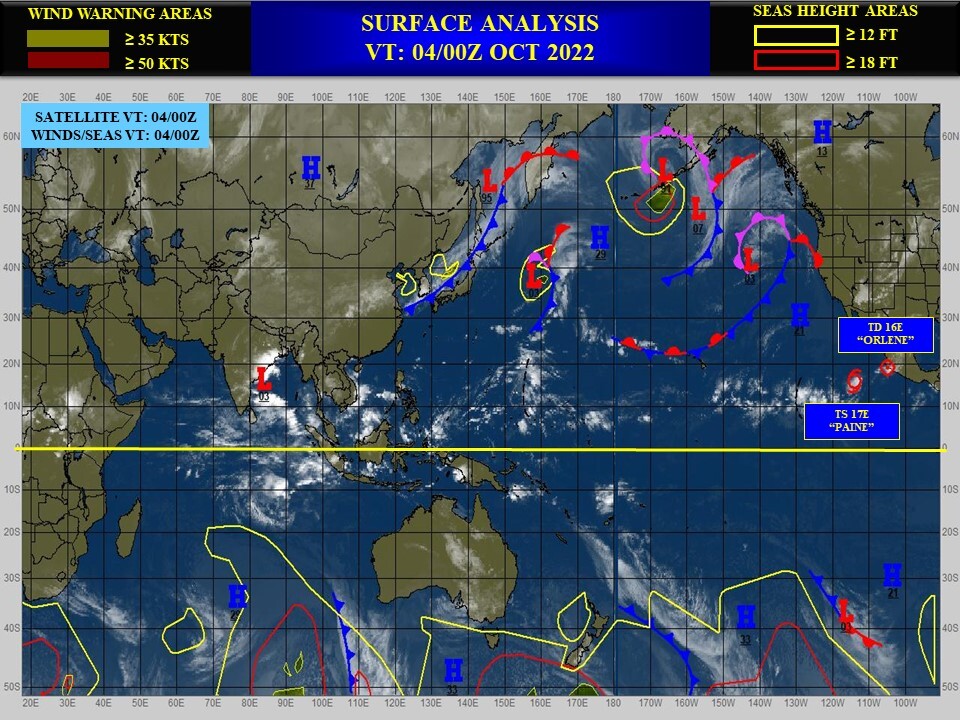
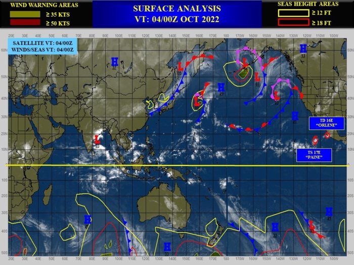
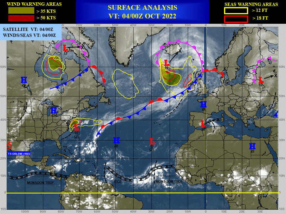
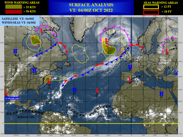
CLICK ON THE IMAGERIES BELOW TO GET THEM ENLARGED
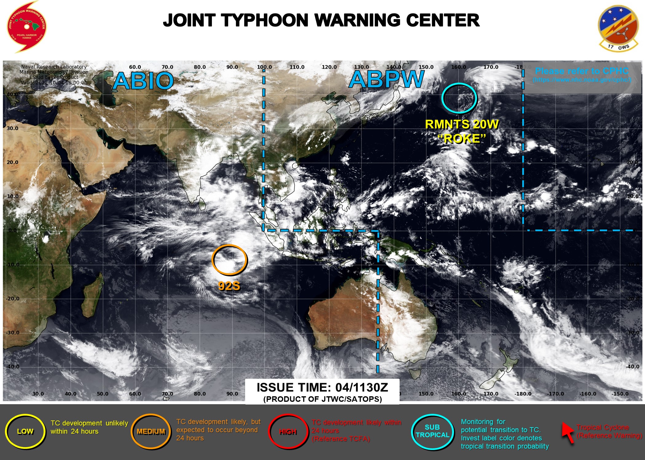
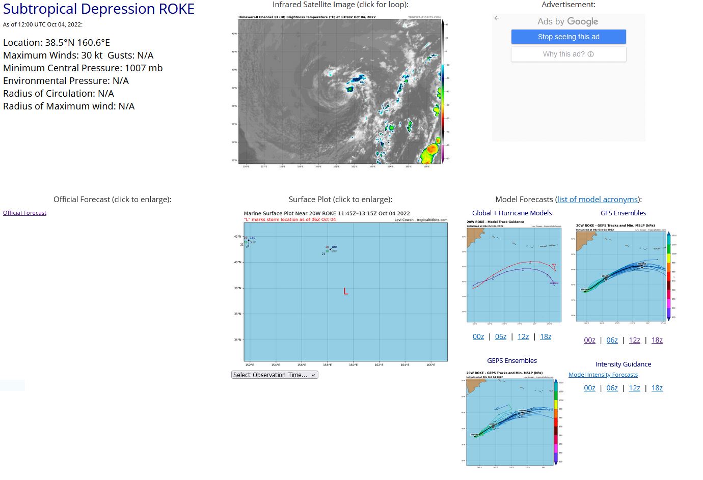
WESTERN NORTH PACIFIC: REMNANTS OF 20W(ROKE). ESTIMATED LOCATION AND INTENSITY AT 04/12UTC.ADVISORY(ABPW) ISSUED AT 04/06UTC.
WP, 20, 2022100306,370N, 1589E, 40, 995, SS
WP, 20, 2022100312,375N, 1585E, 40, 993, SS
WP, 20, 2022100318,379N, 1578E, 40, 993, SS
WP, 20, 2022100400,373N, 1583E, 40, 993, SS
WP, 20, 2022100406,377N, 1594E, 40, 996, SS
WP, 20, 2022100412,385N, 1606E, 30, 1007, SD
WP, 20, 2022100312,375N, 1585E, 40, 993, SS
WP, 20, 2022100318,379N, 1578E, 40, 993, SS
WP, 20, 2022100400,373N, 1583E, 40, 993, SS
WP, 20, 2022100406,377N, 1594E, 40, 996, SS
WP, 20, 2022100412,385N, 1606E, 30, 1007, SD
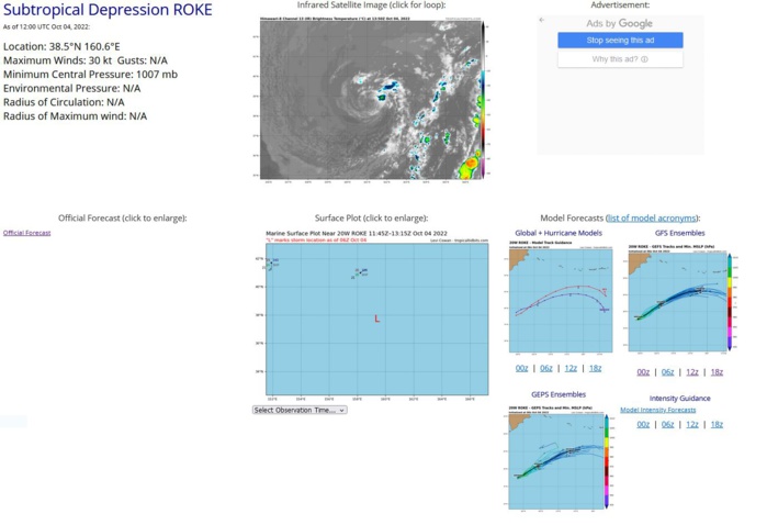
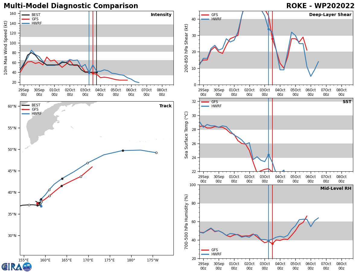
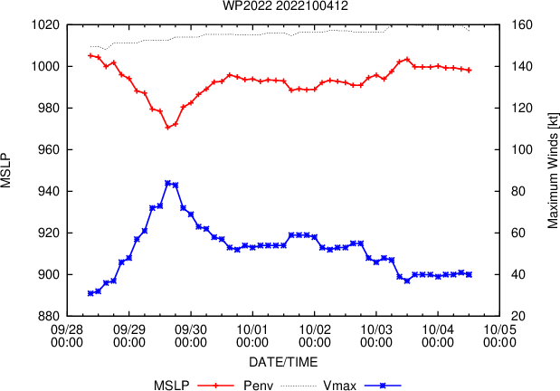
THE AREA OF CONVECTION (REMNANTS 20W) PREVIOUSLY LOCATED NEAR 37.0N 154.8E IS NOW LOCATED NEAR 36.8N 158.1E, APPROXIMATELY 930 NM SOUTH OF PETROPAVLOVSK, RUSSIA. THE SYSTEM IS CURRENTLY CLASSIFIED AS A SUBTROPICAL STORM, GENERALLY CHARACTERIZED AS HAVING BOTH TROPICAL AND MID-LATITUDE CYCLONE FEATURES. ANIMATED MULTISPECTRAL SATELLITE IMAGERY AND A 040456Z SSMIS 91GHZ PASS REVEAL BROAD, SHALLOW CONVECTIVE BANDING WRAPPING INTO A FULLY EXPOSED LOW LEVEL CIRCULATION (LLC). THE SYSTEM IS VERTICALLY STACKED AND CURRENTLY EMBEDDED UNDER A DEEP SUBTROPICAL TROUGH WITH WEAK BAROCLINICITY. SEA SURFACE TEMPERATURES AROUND THE SYSTEM ARE COOL AT 25-26C. GLOBAL MODELS ARE IN GENERAL AGREEMENT THAT THE SYSTEM WILL MAINTAIN ITS ASYMMETRIC WINDFIELD AS IT REMAINS QUASI-STATIONARY BEFORE DISSIPATING IN AN APPROACHING FRONTAL BOUNDARY WITHIN THE NEXT 24- 36 HOURS. MAXIMUM SUSTAINED SURFACE WINDS ARE ESTIMATED AT 40 TO 45 KNOTS. MINIMUM SEA LEVEL PRESSURE IS ESTIMATED TO BE NEAR 999 MB. FOR HAZARDS AND WARNINGS, REFERENCE THE FLEET WEATHER CENTER SAN DIEGO HIGH WINDS AND SEAS PRODUCT OR REFER TO LOCAL WMO DESIGNATED FORECAST AUTHORITY. THE POTENTIAL FOR THE DEVELOPMENT OF A SIGNIFICANT TROPICAL CYCLONE WITHIN THE NEXT 24 HOURS REMAINS LOW.
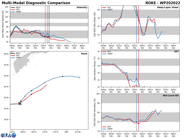
GLOBAL MODELS ARE IN GENERAL AGREEMENT THAT THE SYSTEM WILL MAINTAIN ITS ASYMMETRIC WINDFIELD AS IT REMAINS QUASI-STATIONARY BEFORE DISSIPATING IN AN APPROACHING FRONTAL BOUNDARY WITHIN THE NEXT 24- 36 HOURS.
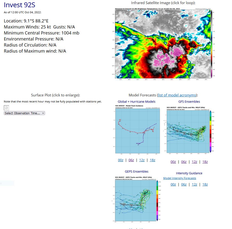
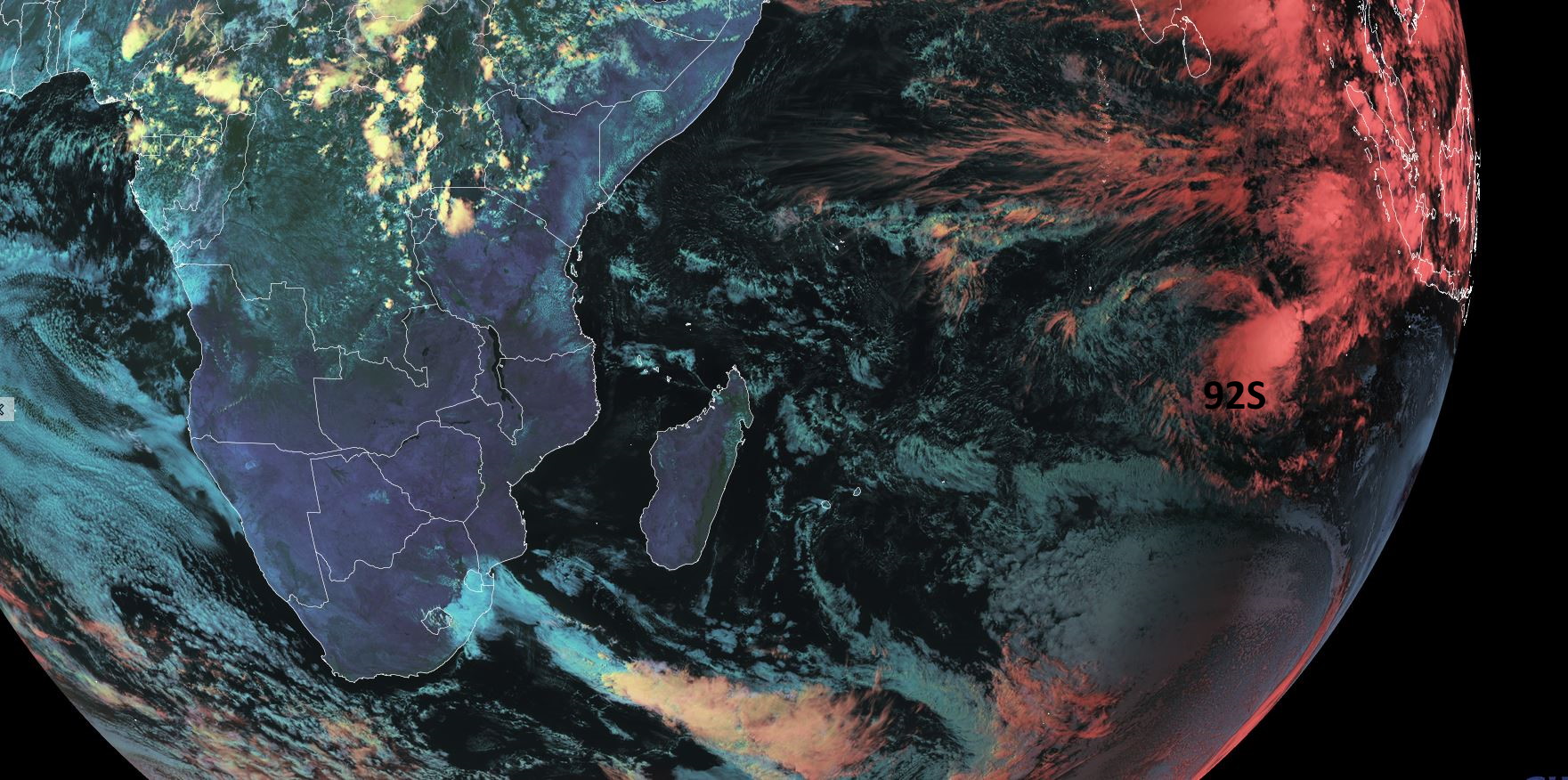
SOUTH INDIAN OCEAN: INVEST 92S. ESTIMATED LOCATION AND INTENSITY AT 04/12UTC. ADVISORY(ABIO) ISSUED AT 04/1130UTC.
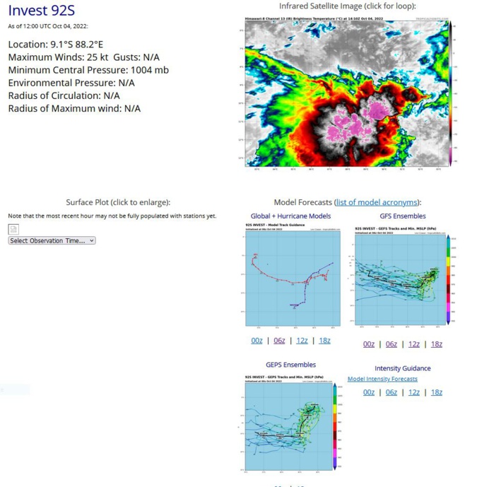
THE AREA OF CONVECTION (INVEST 92S) PREVIOUSLY LOCATED NEAR 7.6S 89.3E IS NOW LOCATED NEAR 8.8S 88.8E, APPROXIMATELY 980NM EAST OF DIEGO GARCIA. ANIMATED MULTISPECTRAL SATELLITE IMAGERY INDICATES LOW- LEVEL CLOUD LINES WRAPPING INTO A PARTIALLY-EXPOSED, DEFINED LOW-LEVEL CIRCULATION CENTER (LLCC) WITH FLARING DEEP CONVECTION OVER THE SOUTHERN SEMICIRCLE. A 040750Z AMSR2 89GHZ COLOR COMPOSITE MICROWAVE IMAGE REVEALS A BROAD, DEFINED LLCC WITH FRAGMENTED DEEP CONVECTIVE BANDING OVER THE SOUTHERN SEMICIRCLE. A 040345Z ASCAT-C IMAGE SHOWS A SWATH OF 20 TO 25 KNOT WINDS ALONG THE SOUTHERN FLANK OF THE CIRCULATION. UPPER-LEVEL ANALYSIS INDICATES A MARGINALLY-FAVORABLE ENVIRONMENT WITH STRONG VERTICAL WIND SHEAR (25 TO 30 KNOTS) OFFSET BY ROBUST POLEWARD OUTFLOW. GLOBAL MODELS INDICATE A WESTWARD TO WEST- SOUTHWESTWARD TRACK OVER THE NEXT 2 DAYS WITH GRADUAL INTENSIFICATION. MAXIMUM SUSTAINED SURFACE WINDS ARE ESTIMATED AT 20 TO 25 KNOTS. MINIMUM SEA LEVEL PRESSURE IS ESTIMATED TO BE NEAR 1004 MB. THE POTENTIAL FOR THE DEVELOPMENT OF A SIGNIFICANT TROPICAL CYCLONE WITHIN THE NEXT 24 HOURS IS UPGRADED TO MEDIUM.
SH, 92, 2022100318,71S, 893E, 20, 1006, DB
SH, 92, 2022100400,78S, 892E, 20, 1005, DB
SH, 92, 2022100406,86S, 889E, 25, 1004, TD
SH, 92, 2022100412,91S, 882E, 25, 1005, TD
SH, 92, 2022100400,78S, 892E, 20, 1005, DB
SH, 92, 2022100406,86S, 889E, 25, 1004, TD
SH, 92, 2022100412,91S, 882E, 25, 1005, TD
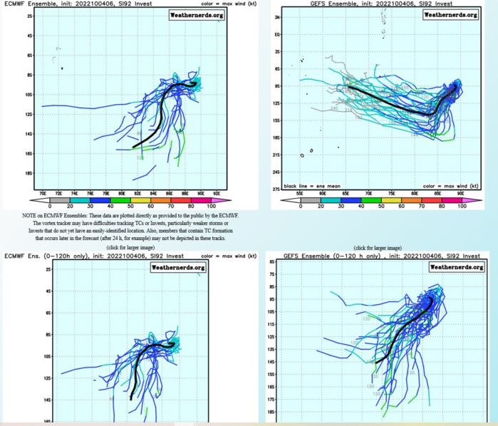
GLOBAL MODELS INDICATE A WESTWARD TO WEST- SOUTHWESTWARD TRACK OVER THE NEXT 2 DAYS WITH GRADUAL INTENSIFICATION.
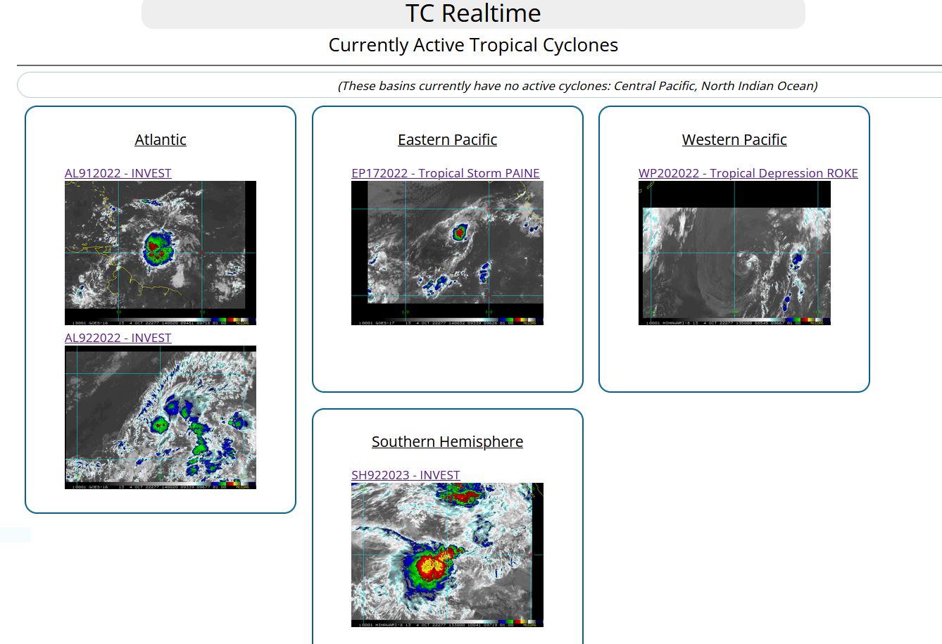
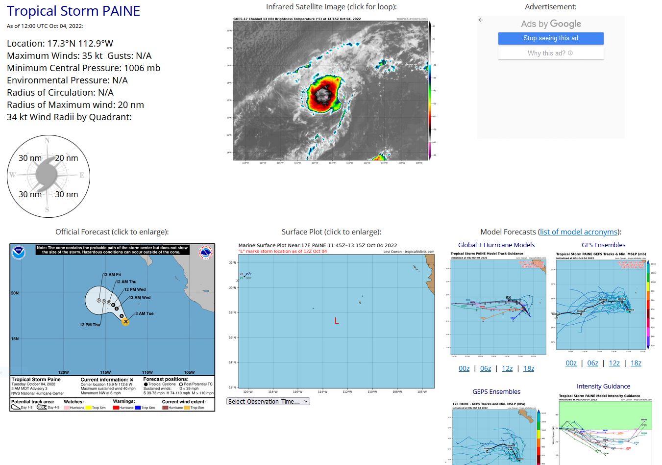
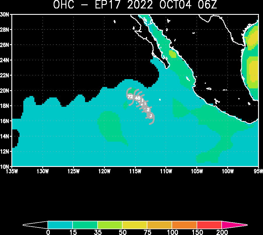
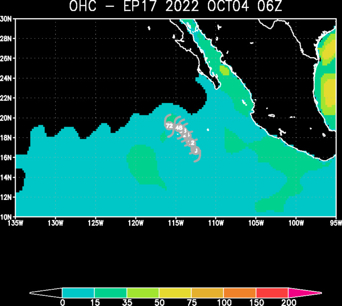
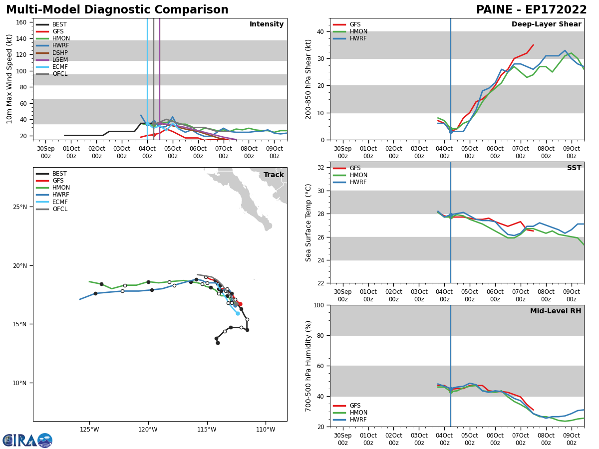
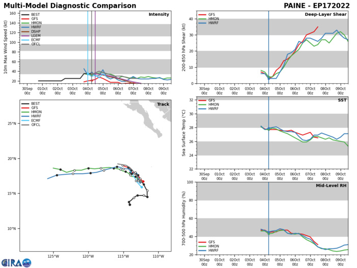
EASTERN NORTH PACIFIC: TS 17E(PAINE). ESTIMATED LOCATION AND INTENSITY AT 04/12UTC. NHC COMMENTS.
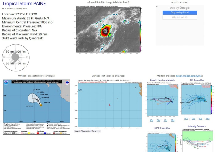
Tropical Storm Paine Discussion Number 4 NWS National Hurricane Center Miami FL EP172022 900 AM MDT Tue Oct 04 2022 Deep convection continues to burst around the western portion of Paine's circulation. Infrared and early-light visible satellite imagery suggests that there has been some increase in convective banding, and that the center is slightly more embedded within the colder cloud tops. Despite the slight increase in organization, subjective and objective Dvorak classifications have not changed much and still support an initial intensity of 35 kt. Hopefully scatterometer data will provide additional information on the size and intensity of Paine this afternoon. Paine still has a very brief window of opportunity in which to intensify. The deep-layer shear is forecast to remain low today, but is expected to increase significantly tonight and Wednesday. Therefore, some slight strengthening is predicted, followed by gradual weakening due to the unfavorable upper-level environment and an increasing dry mid-level air mass. Paine is expected to become a remnant low in about 48 hours, and dissipate around day 3. The cyclone is moving northwestward or 325/6 kt. Paine should continue northwestward for the 24-36 hours around the western side of a mid-level ridge. After that time, a bend to the west-northwest and west is predicted as Paine becomes increasingly shallow and is steered by the low-level tradewind flow. The latest NHC track forecast is similar to the previous advisory and lies near the simple consensus aids. $$ Forecaster Brown
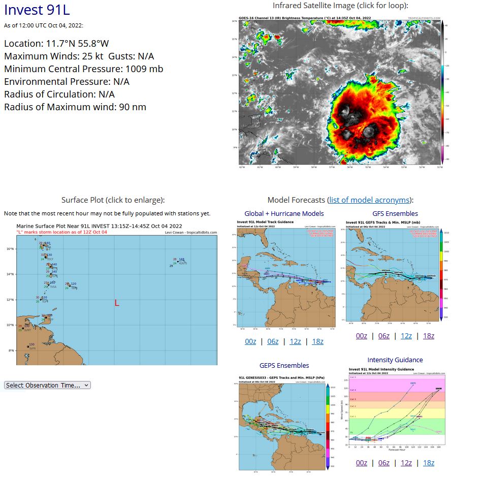
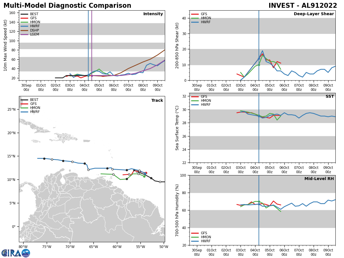
NORTH ATLANTIC: INVEST 91L. ESTIMATED LOCATION AND INTENSITY AT 04/12UTC. NHC COMMENTS.
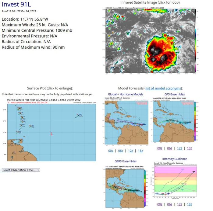
East of the Windward Islands: Showers and thunderstorms associated with a tropical wave located a few hundred miles east of the southern Windward Islands have increased a little this morning, but there are not yet any signs of significant organization. The wave is forecast to move westward at about 15 mph, crossing the Windward Islands tonight and early Wednesday. Some slow development is possible while the wave continues westward, and a tropical depression could form by late this week or this weekend over the central or western Caribbean Sea. Interests in the Windward Islands, the ABC Islands, and the northern coast of Venezuela should monitor the progress of this system. An Air Force Reserve Hurricane Hunter aircraft is scheduled to investigate this system this afternoon, if necessary. * Formation chance through 48 hours...low...20 percent. * Formation chance through 5 days...medium...40 percent. Forecaster Berg
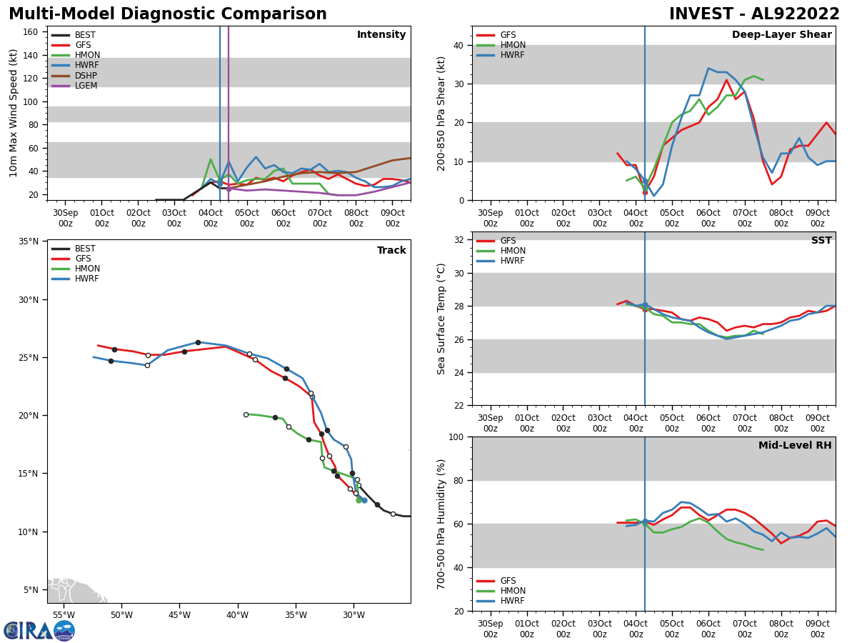
NORTH ATLANTIC: INVEST 92L. ESTIMATED LOCATION AND INTENSITY AT 04/12UTC. NHC COMMENTS.
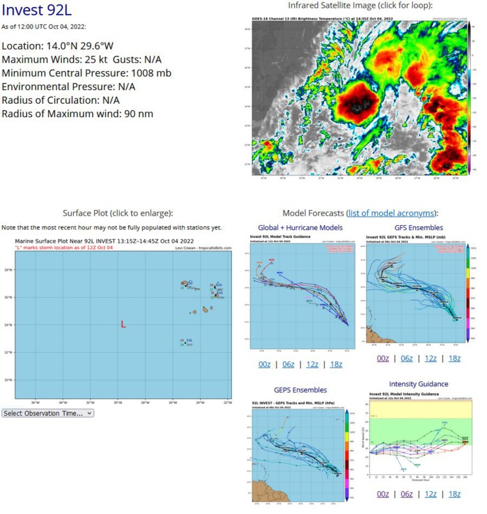
Eastern Tropical Atlantic: A broad low pressure system located a few hundred miles west-southwest of the Cabo Verde Islands continues to produce a large area of showers and thunderstorms. Environmental conditions are currently conducive for development, and a tropical depression is likely to form during the next day or so while moving northwestward at about 10 mph over the eastern tropical Atlantic. Upper-level winds are expected to become less conducive for development by Wednesday and Thursday. * Formation chance through 48 hours...high...80 percent. * Formation chance through 5 days...high...80 percent.
