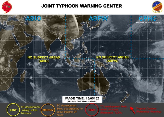
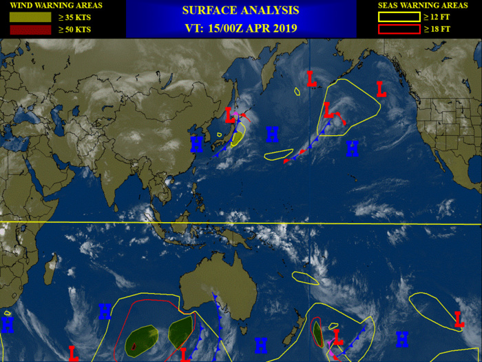
06UTC: some respite...calm tropics Good Bye Bob...
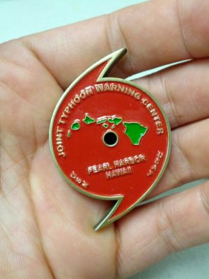
JTWC is turning 60!
Rédigé par PATRICK HOAREAU le Monday, April 15th 2019 à 12:36
Les News
3 Week Tropical Cyclone Formation Probability//03/10/26
03/12/2026
- PATRICK HOAREAU
A new version (V8.2) of the AMSR2 winds for Tropical Cyclones (TC-winds) has been released
03/06/2026
- PATRICK HOAREAU
3 Week Tropical Cyclone Formation Probability//03/03/26
03/04/2026
- PATRICK HOAREAU
Pluviométrie pour la saison estivale 2025/26 à MAURICE et à RODRIGUES, update le 27/02/26
02/27/2026
- PATRICK HOAREAU
3 Week Tropical Cyclone Formation Probability//12/30/25
12/31/2025
- PATRICK HOAREAU
2021 STORM YEAR JTWC TROPICAL ACTIVITY TIMELINE
12/23/2025
- PATRICK HOAREAU

Liens utiles
A new version (V8.2) of the AMSR2 winds for Tropical Cyclones (TC-winds) has been released
3 Week Tropical Cyclone Formation Probability//03/03/26
3 Week Tropical Cyclone Formation Probability//12/30/25
2021 STORM YEAR JTWC TROPICAL ACTIVITY TIMELINE
Difference in tropical cyclone activity across the JTWC AOR between El Niño and La Niña months
S'identifier


