CLICK ON THE IMAGERIES BELOW TO GET THEM ENLARGED
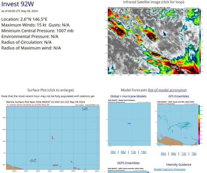
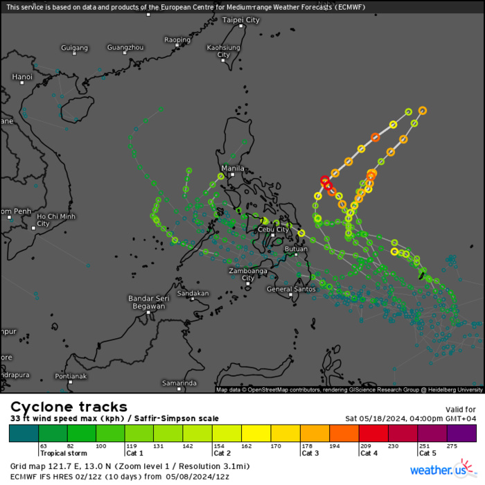
WESTERN NORTH PACIFIC: INVEST 92W. ESTIMATED LOCATION AND INTENSITY AT 09/00UTC. INTENSITY IS 15 KNOTS.
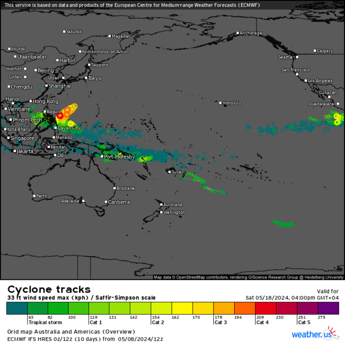
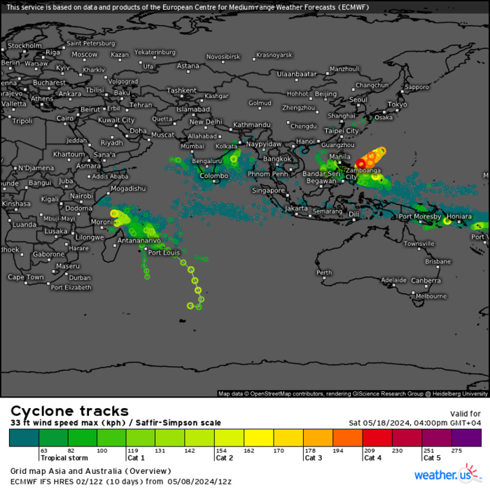
ECMWF Storm Tracks (Ensemble) : 05/08 12UTC+ 10 DAY
ECMWF Storm Tracks (Ensemble) : 05/08 12UTC+ 10 DAY
ECMWF Storm Tracks (Ensemble) : 05/08 12UTC+ 10 DAY
Last Updated - 05/07/24 3 WEEK TROPICAL CYCLONE FORMATION PROBABILITY
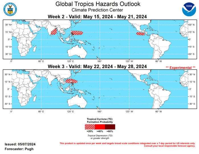
GTH Outlook Discussion Last Updated - 05/07/24 Valid - 05/15/24 - 05/28/24 According to the RMM-based MJO index, the MJO amplitude increased during late April with recent eastward propagation from the Indian Ocean to the Maritime Continent. The observed 200-hPa velocity potential anomaly field depicts a coherent wave-1 pattern with anomalous divergence (convergence) centered over the Maritime Continent and West Pacific (Atlantic). This spatial pattern of 200-hPa velocity potential anomalies has also shown an eastward propagation during the past week which is consistent with an MJO. The GEFS and ECMWF models generally agree on an MJO propagating rapidly east over the Western Hemisphere during the next two weeks. Also, there is expected to be a Kelvin wave out ahead of this MJO and an equatorial Rossby wave shifting west from the Pacific to the Indian Ocean during mid-May. The multiple modes of subseasonal variability are complicating the RMM-based index forecast from the dynamical models. Following a few weeks of no tropical cyclones (TCs) over the southern Indian Ocean, the recent strengthening MJO may have contributed to the development of Tropical Cyclone Hidaya across the western Indian Ocean on May 1. Heavy rainfall, associated with Hidaya, triggered more flooding across Kenya and Tanzania. During May, the Southern Hemisphere typically becomes much less active with TCs while the West and East Pacific basins begin to ramp up especially later in the month. The large-scale environment across the East Pacific is expected to be briefly favorable for TC development (20 to 40 percent chance) from May 15 to 21, following the passage of the Kelvin wave and MJO. The number of GFS and ECMWF ensemble members featuring TC development in this region has increased the past two days. An equatorial Rossby wave along with dynamical model output supports at least a 20 to percent chance of TC genesis in the Bay of Bengal from May 15 to 21. Based on dynamical models, a 20 to 40 percent chance of TC development is also posted for the West Pacific from May 15 to 21 and this favored area expands to include the South China Sea one week later.
