WEEK 1: 20/26 OCTOBER 2021
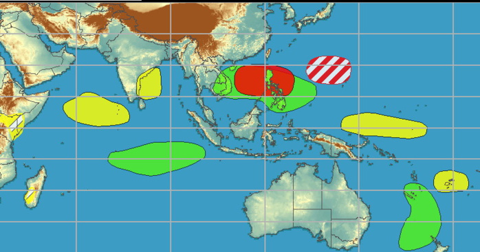
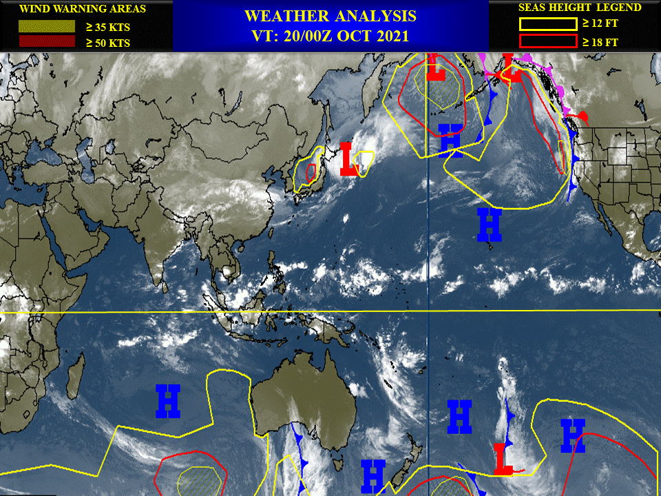
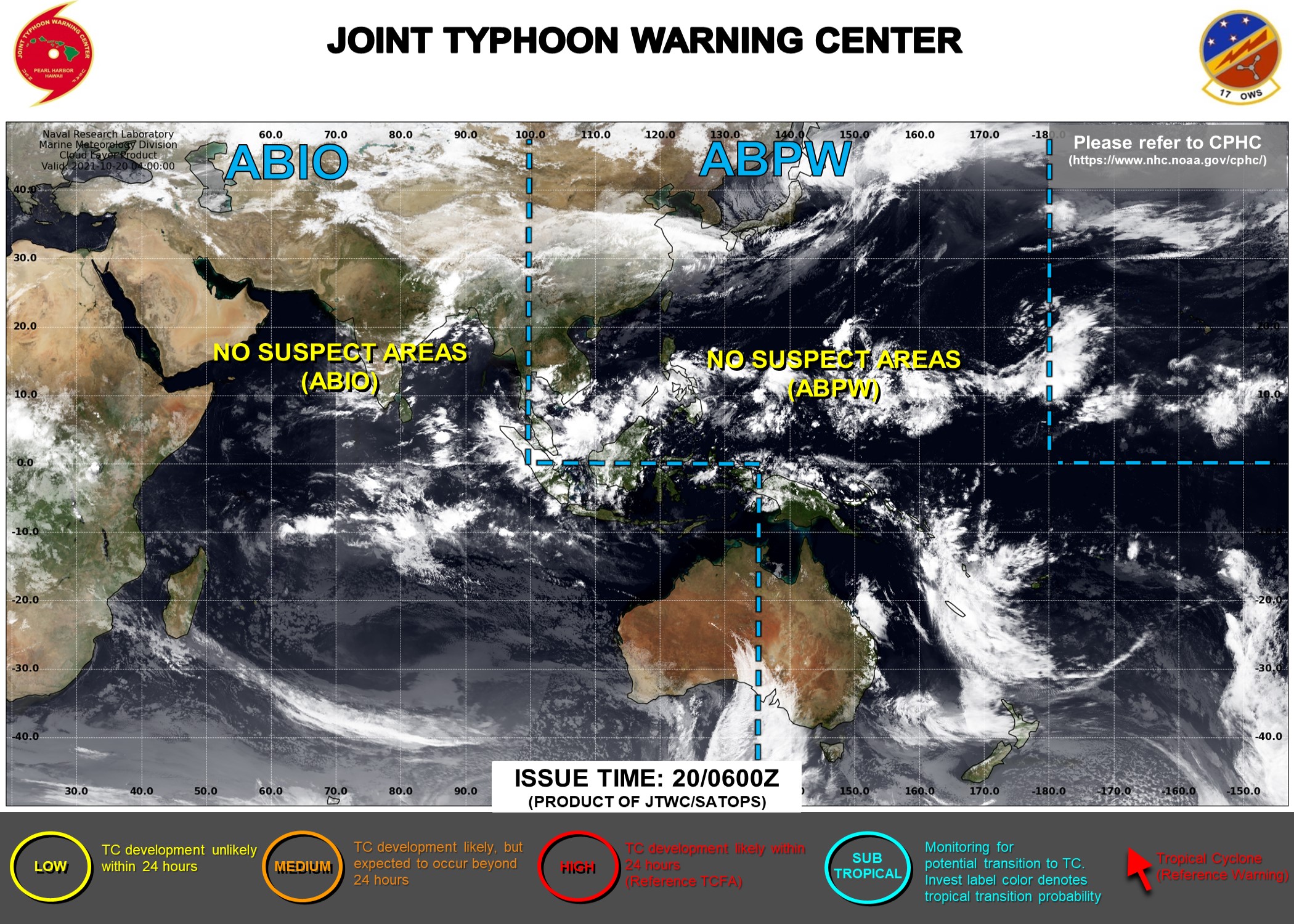
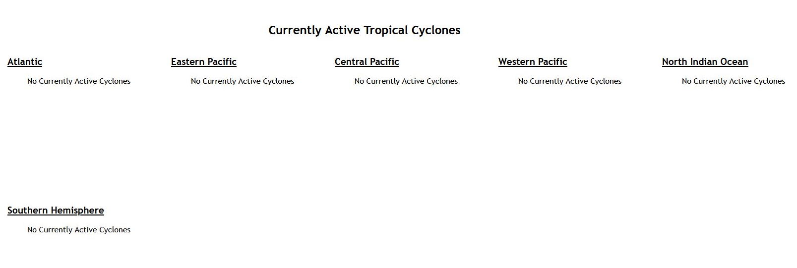
Following the dissipation of Tropical Storm Namtheun yesterday, tropical activity looks to be quiet through the rest of the week across the western Pacific. By this weekend, there is good agreement in the ensemble means featuring the development of a closed low near the Philippines that tracks west into the South China Sea prompting a high confidence area for the region. Ensemble guidance also favors another area of deepening low pressure farther to the east near the Mariana Islands late in week-1, though there is some question as to whether this low strengthens to a tropical depression before tracking northward, and a moderate confidence is posted. NOAA.
Issued at 19/1830UTC by NOAA.
In collaboration with the JTWC and several well known organizations.
Archives: HERE
Cheers,
Patrick Hoareau
JTWC PH
ILES SOEURS
Joint Typhoon Warning Center
JTWC BIS
In collaboration with the JTWC and several well known organizations.
Archives: HERE
Cheers,
Patrick Hoareau
JTWC PH
ILES SOEURS
Joint Typhoon Warning Center
JTWC BIS
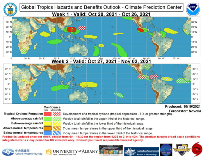
Global Tropics Hazards and Benefits Outlook Discussion Last Updated: 10.19.21 Valid: 10.20.21 - 11.02.21 RMM observations show the Madden-Julian Oscillation (MJO) has weakened substantially, falling within the unit circle over the West Pacific during the last week. This weakening in RMM space is likely tied to destructive interference with the emerging low frequency base state, where a La Nina advisory has been recently issued, with an 87% chance of La Nina conditions favored during boreal winter. However, the velocity potential based MJO index, and objective wavenumber-frequency filtering of upper-level velocity potential anomalies continue to reflect eastward propagation of the intraseasonal signal east of the Date Line, which is also supported by the recent relaxation of anomalous westerlies aloft and enhanced trades observed over the equatorial Pacific. Looking ahead, there is fair agreement in the dynamical models favoring a continued decrease in RMM1 values, placing the intraseasonal signal over the Western Hemisphere during the next two weeks. This decrease likely appears to be driven by the development of strong anomalous lower-level westerlies forecast over the tropical eastern Pacific and Atlantic towards the end of October. Although most model ensemble means remain confined within the RMM unit circle indicative of a weak MJO through early November, there are several ensemble members depicting a higher amplitude intraseasonal event over phases 8 and 1, which is noteworthy when considering RMM values have been skewed towards phases 4 and 5 due to the persistence of enhanced convection favored over the Maritime Continent tied to the building La Nina. In light of all this, tropical cyclone (TC) activity is favored over the East Pacific in the near-term, with increasingly favorable conditions for development over the Atlantic basin during late October and into early November. No new tropical cyclones formed during the last seven days. In the eastern Pacific, the National Hurricane Center (NHC) is monitoring a disturbance to the south of Central America with at least a 60% chance of formation by this weekend. Given good run-to-run continuity and agreement for development in the dynamical models, a high confidence area is posted to the south of Mexico for the week-1 period. As this disturbance is predicted to curve north towards Mexico by the end of week-1, the advection of anomalous mid-tropospheric moisture is favored to help bring above-normal, and possibly heavy precipitation over portions of eastern CONUS by the middle of next week. For week-2, a pair of moderate confidence areas for development are posted in the eastern Pacific to the south of Mexico, and throughout the southern Caribbean tied to the aforementioned band of anomalous lower-level westerlies forecast to promote a more favorable shear environment over the region. This is also supported by increased signals in the probabilistic TC tools and predicted Rossby wave activity later in the outlook period.The precipitation outlook during the next two weeks is based on a consensus of GEFS, CFS, and ECMWF guidance, with some consideration from historical MJO precipitation composites. For hazardous weather concerns during the next two weeks across the U.S., please refer to your local NWS Forecast Office, the Weather Prediction Center's Medium Range Hazards Forecast, and CPC's Week-2 Hazards Outlook. Forecasts over Africa are made in consultation with the International Desk at CPC and can represent local-scale conditions in addition to global scale variability. NOAA.
